

 GPS & GNSS
 Lidar scanning
 Total Station

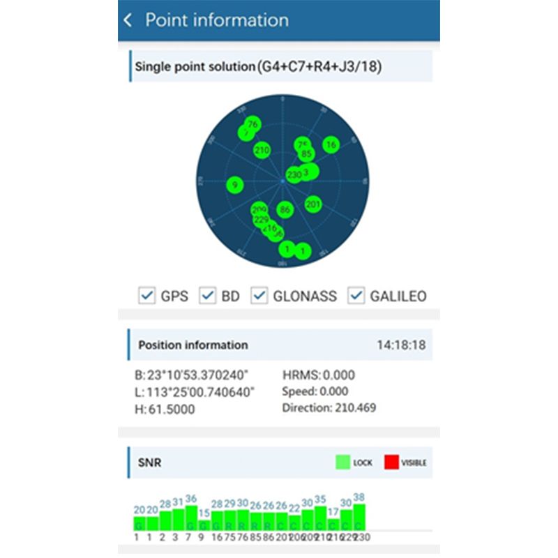
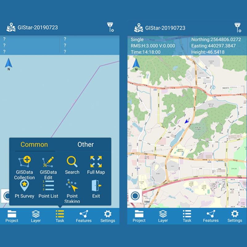

South GIStar android
Get the best price for your setup
Contact our experts for the best possible price and configuration.
- Fast response
- Expert configuration advice
- No overpaying for features you do not need
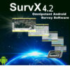
GIStar (for Android), a completely new professional integrated Android GIS application, adopts GIS technology to collect and manage geographic data. GIStar takes advantage of the Android touch screen capability by allowing you to tap the points and lines in your drawing to open tool bars with all the function you need instantly. It also supports various data format import and export, such as shp file, dxf file, kml file and gpx file, which fully meets the demands of different of users.
Why surveyors choose South GIStar:
- Dual functions of navigation and collection
- Equipped with electronic maps, can load custom maps
- Perfect combination of professional GIS collector and popular GPS, humanised operation
- Simple and quick calculation function of length, distance and area, MICRO USB interface
- Customised demand feature database and file format to meet the GIS data required by customers in different industries
You may also like…

Accessories
Valued customers:










Find RTK Networks
Search NTRIP providers and connect to reliable RTK correction services.
Description
GIStar for Android system was designed for GIS application, which adopts GIS (Geographic Information
System) technology to collect and manage geographic data. It applies to resource management and
configuration, urban planning and management, environment assessment and modeling, land information
system and cadastral application, facilities management and maintenance, agriculture and transportation.
GIStar takes advantage of the Android touch screen capability by allowing you to tap the points and lines in
your drawing to open toolbars with all the function you need instantly. It also supports various data format
import and export, such as shp file, dxf file, kml file and gpx file, which fully meet the demands of different
of users.
Reviews (0)
Only logged in customers who have purchased this product may leave a review.
 GPS & GNSS
 Total Stations
 Data collectors
 Software
 Correction services
 Machine control
 External radio
 Marine
 Accessories
Reviews
There are no reviews yet