GeolinQ

SKU: N/A Categories: , ,
Brand:GeolinQ

Global GPS Systems
What Our Clients Say
4.76 store rating (533 reviews) | 4.66 product rating

GeolinQ


Solution Tenants SSD Storage CPU Memory Price per month
Start 1 10 Gb Shared Shared € 395,00
Small Max.3 120 Gb 4 Cores 8 Gb € 975,00
Medium Max.5 480 Gb 4 Cores 8 Gb € 1.850,00
Large Max.10 1.280 Gb 8 Cores 64 Gb € 3.450,00


RECOMMENDED DATA COLLECTORS:

Login to view prices

Click here to login or register
Login to view prices

Click here to login or register
Login to view prices

Click here to login or register
Login to view prices

Click here to login or register

RECOMMENDED SOFTWARE:

Login to view prices

Click here to login or register
25%
Login to view prices

Click here to login or register
Login to view prices

Click here to login or register
Login to view prices

Click here to login or register

RECOMMENDED ACCESSORIES:

Login to view prices

Click here to login or register
Login to view prices

Click here to login or register
Login to view prices

Click here to login or register

GeolinQ

SKU: N/A Categories: , ,
Brand:GeolinQ

Global GPS Systems
What Our Clients Say
4.76 store rating (533 reviews) | 4.66 product rating

Description

GeolinQ Product Review

Spatial Data Management

Configure spatial datamanagement applications efficiently

GeolinQ is a no-code, web-based, software solution to collect, integrate and distribute spatial data in an efficient and flexible way. Almost any application varying from managing data, doing inspections, data warehousing, reporting, map portals, data delivery validated to formal standards etc. can be configured in GeolinQ without any programming. Data from various sources is linked by data models and is immediately available for any configured application.

GeolinQ Spatial data management software

Collection

Datasources can be configured to import data files, to harvest data from web- and download services, to process messages and to access data in external databases. Data can be managed efficiently and datasources can easily be exchanged between different GeolinQ installations. Point-, raster-, vector- and administrative data sets are supported.

Integration

Data models define data structures and semantics of data stored in GeolinQ. Data models allow the integration of datasets from various data sources to new datasets in order to provide new insights. Numerous functions like: Union, View, Dataset Intersection, Contouring etc. are available to configure the needed integration for applications. Standards, like the INSPIRE data model, technical described in a XSD can be used as a target data model so datasets can be delivered validated to the formal standard. Updates in datasources are immediately visible in linked datasets in other data models. Data models can easily be exchanged between GeolinQ installations.

Distribution

Datasets are available for users in various ways and formats. GeolinQ offers functionality to query, visualize and analyze data. Map portals can be configured were maps and datasets are made available for specific user groups. Map-layers are visualized using configured styling and end-users can export datasets.The user interface appearance can be adjusted for each portal by adding the organization’s specific color scheme and logo. In addition datasets are published and distributed by web services but can also be exported to files for use in other systems.

Tenant architecture

A tenant architecture is the base of GeolinQ offering extensive options per tenant for user group specific authorizations. In addition GeolinQ is platform independent and is offered as a cloud solution as well as an on-premise solution. Open standards are used to integrate seamless with third party solutions.

Managing your data

In almost all areas of work like project work, asset management and research a great variety of data types is used. The options to acquire data can vary extreme from field observations to using LIDAR and satellites. The same variety accounts by data formats and coordinate systems. In addition there are a huge amount of open data sources available that potentially are of interest. Normally the acquired raw data is processed to interpreted data sets. For efficient and reliable use it is important that the data is ease to find, retrieved and used by different user groups.

GeolinQ offers functionality to define datamodels to collect measurements and meta data of the aquiered survey datasets. Feature data, point clouds, raster data and administrative data types are supported. Functionallity is available to import ASCII, Shape, LAS or GeoTIFF files as well as manually collection. Geometries are harmonized  to the datasource coördinatesystem.
In addition data external datasources, available as a Web Feature Service (WFS) can be harvested as well as linking existing database to GeolinQ.

All datasets are available to visualise and query on all atributes of the datasets the moment they are harvested or linked.

Authentic registrations

Currently there are 11 authentic registrations and an equal amount of registers in the Netherlands. Public bodies must use these registrations in all their processes. Examples of authentic registrations are cadastral data, addresses and real estate data and the chamber of commerce registrations. Organizations not only need to use the key registrations but need to link the key registrations and their own datasets to run their processes smoothly. In addition employees of the public bodies as well as citizens need to get easy access to all authentic registrations.

GeolinQ offers functionality to harvest data from authentic registrations and keep them up-to-date. By extracting the data directly from the National Registers and transactional processing of modified data is updated automatically. By validating the data to the technical standard the reliability of the data can be guaranteed.

In GeolinQ every authentic registration is a configured datasource. Datasource can be linked to each other offering option to integrate datasets for end users.  For the Netherlands multiple configurations for authentic registrations are available.

The solution has an added value for authentic registrations and other standards with a technical model available as a XSD. Parsing XSD’s to create automatically a data model based on the technical data model of the XSD and configurable options to harvest and process transactions are core GeolinQ functionality.

Digital terrain models

Lidar, 3D Laser scanners and photography are used to map and monitor land areas and objects. These measurements result in point clouds and raster datasets. A point cloud consists of large amounts, often millions, of 3D points with per point one or more attributes.

Photography and satellites deliver raster datasets. To reduce the amount of data point clouds are sometimes resampled to raster datasets. The combination of multiple measurement datasets for an application is a Digital Terrain Model (DTM).

GeolinQ digital terrain models Spatial data management software

Point clouds and raster datasets are easy to import and manage in GeolinQ. GeolinQ supports LAS, ASCII as well as GeoTiff as import file formats. Multiple attributes per point are supported. These attributes are to be configured by the user and must be linked to the attributes of the point in the input file. GeolinQ supports all EPSG coordinate transformation so virtually every point cloud in any coordinate systems can be imported.

For DTM’s it is needed to combine multiple dataset to a single dataset holding the best available measured data in a specific area. The Seamless Point Surface (SPS) concept in GeolinQ offers functionality for automatic and flexible compilation of seamless data models based on multiple point cloud and raster datasets. Based on the metadata attributes of the datasets users can configure priority rules. Based on these rules the overlap between the datasets are removed and the hull of the datasets in the SPS determined resulting to the best available data on any location. New imported surveys are automatically integrated by SPS based on the configured selection and priority rules guaranteeing an always up-to-date DTM.

Point cloud datasets are generally large and may contain millions or even a billion of points. Efficient storage, indexing, tiling and dynamic data pyramiding are used to allow fast retrieval and visualisation at all scale levels.

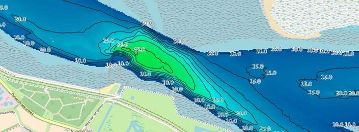
Integrating bathymetry data

Depth measurements to map the seafloor result in bathymetric data. Bathymetric data is of great importance for many marine information products such as navigation charts, environmental research and location optimization for wind turbines, cables and pipelines. At sea multi- and single beam sonar equipment is used to acquire bathymetric data. From air LIDAR mounted on aircrafts is used while satellite systems acquire bathymetric data from space. In the end all acquisition methods result in point cloud and raster datasets. Every data acquisition method has its pro’s and con’s so in many cases more methods are used to collect data. This results in multiple, overlapping datasets of a measured area.  For most information products it is needed to use multiple datasets combining the best available data for a usage from that measured area.

GeolinQ bathymetry Spatial data management software

GeolinQ offers functionality to configure datasources were survey measurements and metadata of surveys is stored. Survey data in ASCII, LAS and GeoTIFF format can be imported. During import the data can be validated to the data model configured in GeolinQ. As the solution offers full EPSG support, data is transformed to the coordinate system of the datasource.  During the import process also the metadata of the survey can be stored. As a metadata schema ISO19115 or other schema’s can be used. All imported data can be visualized using configurable color scales and drawing depth profiles. All survey datasets can be retrieved easily using geographic and metadata queries.

Solutions to acquire bathymetric data are evolving fast offering options like collecting multiple attributes per measurement. As GeolinQ data models can be configured by end-users modifications and extensions to use latest developments, can be implemented easily.

Cables and Pipelines

The information model cables and pipes (IMKL) is a Dutch standard data model for the data exchange of digging activities. The IMKL is founded on the INSPIRE models for cables and pipes. The IMKL is the result of a Dutch law concerning the information exchange for underground networks (WION). The purpose of the WION is to prevent economic losses caused by digging damage to water and gas pipes or electricity and telecommunication cables.

GeolinQ cables and pipelines Spatial data management software

Diggers are obligated to report their digging activities by the Kadaster. The Kadaster is the Dutch authority that manages the national registration of cables and pipes. The network administrators are obligated to offer their network information in a digital format to the Kadaster. Network administrators deliver their network information to the Kadaster in a GML format according to the IMKL standard. The data model of the IMKL standard is fully described in a XSD used by the Kadaster to validate the delivered network information of the administrators.

Network information concerning pipes and cables is usually available by the network administrator in other formats (ESRI Shape file or AutoCAD) than the IMKL format. Existing network information can be imported and further managed in GeolinQ. The IMKL model is generated in GeolinQ based on the XSD describing the IMKL model. The existing network information of the administrator is bind by views and unions to the generated IMKL model. The network information is exported as GML based on the IMKL XSD and finally delivered to the Kadaster.

GNSS measurements

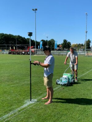
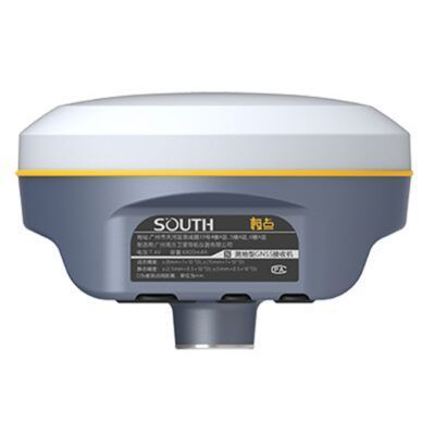
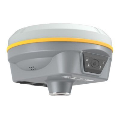
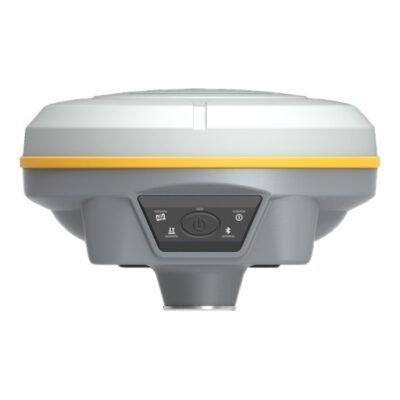
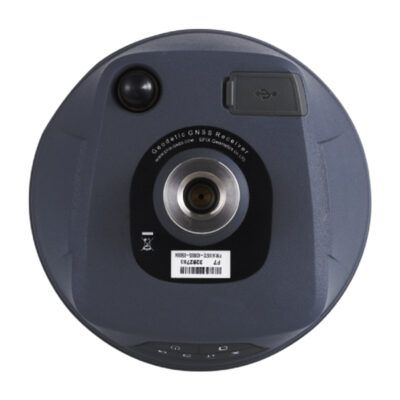
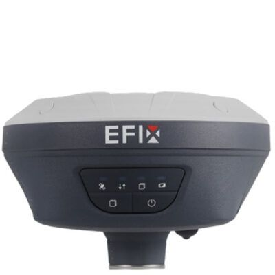
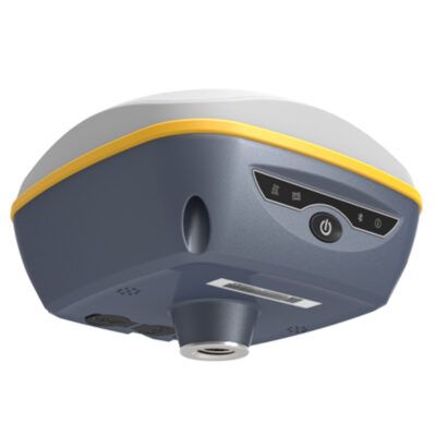
GNSS receivers can measure locations to the nearest centimetre using the Global Navigation Satellite System (GNSS). In addition to the well-known American GPS, the GNSS includes several satellite positioning networks such as the European Galileo, Russian GLONASS and Chinese Beidou.

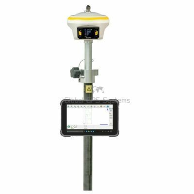
GNSS receivers can be fully integrated with GeolinQ via their interface. Location measurements can then be carried out directly from GeolinQ in combination with a GNSS receiver. After each measurement, the results are stored in GeolinQ and accessed in the map portal and services for further processing.

Reviews (0)

Reviews

There are no reviews yet.

Only logged in customers who have purchased this product may leave a review.

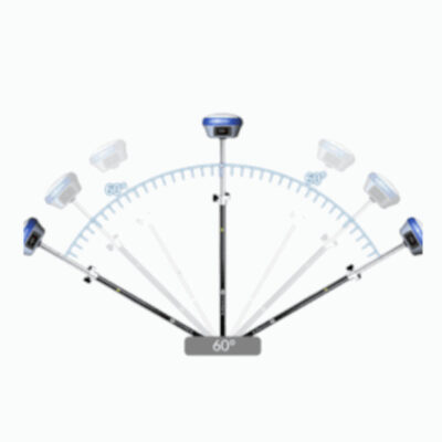
RTK GNSS With 60° tilt:

GPS receivers

South Galaxy G2

GPS receivers

South INNO7

RTK GNSS Receivers

Kolida K30

GPS receivers

Carlson BRX7

GPS receivers

Stonex S990A

42%

GPS receivers

Kolida K1 Pro

GPS receivers

South Galaxy G3

GPS receivers

EFIX F7

GPS receivers

South Galaxy G7

RTK GNSS With internet:

GPS receivers

South Galaxy G2

GPS receivers

South INNO7

RTK GNSS Receivers

Kolida K30

GPS receivers

Emlid Reach RS2+

GPS receivers

Tersus Oscar

GPS receivers

EFIX F4

GPS receivers

Carlson BRX7

GPS receivers

Stonex S990A

42%

GPS receivers

Kolida K1 Pro

Select your currency