Cubic Orb GeoView Product Review
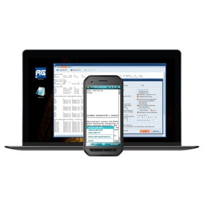
The software to operate on sets of coordinates. Greatly facilitates drawing and other works in CAD. GeoView gives huge possibilities during browsing, analysing and processing sets of coordinates, with or without using CAD platforms. The addictive software strongly appreciated by surveyors, GIS specialists and designers!
Coordinate tools
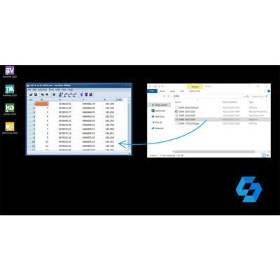
- Opening files with coordinates – Text / CSV files, Leica GSI, TDS RAW/RW5, GPX, JPG with EXIF data.
- Advanced processing of a set of points – Shifting, renumbering, translating, sorting.
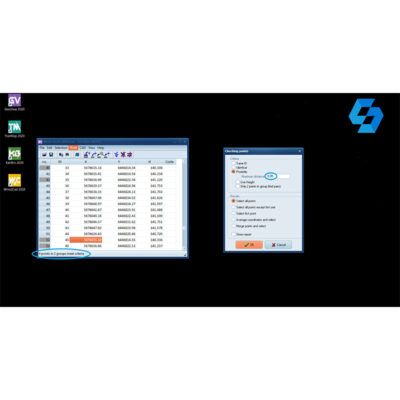
- Control of points advanced – Allows, among others, a search for points of the same coordinates, a group of points located on a given length, points having the same numbers.
- Transmission/export of coordinates – To: text files, Leica GSI, Sokkia SDR, Geodimetr (Geodat), Google Earth KML, GPX, Garmin PCX5, OZI Explorer WPT, Fugawi.
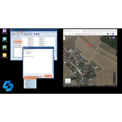
- Displaying a location of points in external map services – Google Maps, Bing Maps and others.
- A display preview of single points or sets in Google Earth
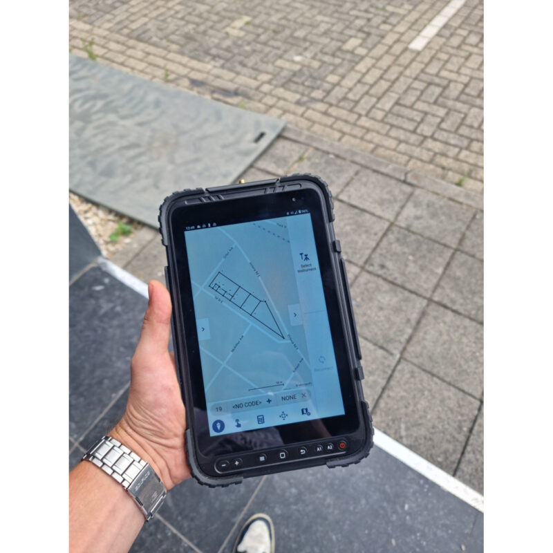
- Display points in the built-in Sketch window
- Automatic transformation from and to World Geodetic System 84 – If you want to display local coordinates in Google Earth, GeoView will automatically transform these coordinates to WGS84. Various local coordinate systems from different parts of the world are supported.
- Comfortable export via Cubic Cloud – Exporting a set of chosen coordinates to the cloud and importing them to other Cubic Orb software such as QuickGNSS.
Integration with CAD
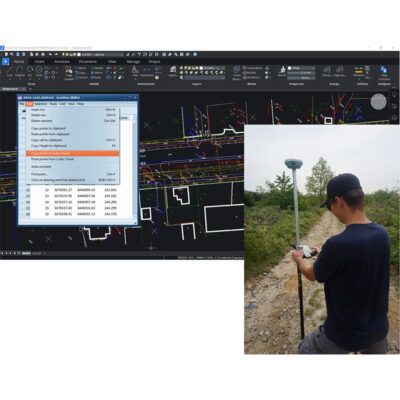
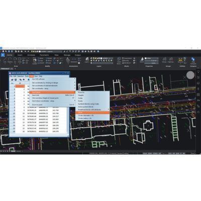
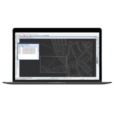
- Sending coordinates to a CAD drawing – In a text form (numbers, ordinates), points, circles or symbols.
- Inserting (drawing) multiple symbols – By using codes from a table or active or predefined blocks (cells) based on chosen set of coordinates.
- “Send clicks” tool – Based on chosen coordinates, you can send series of clicks to the active CAD command
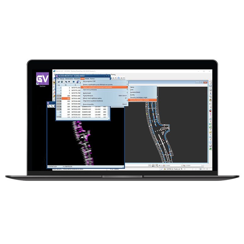
- Reading coordinates of elements selected on a CAD drawing – Texts, lines, points, symbols and others.
- Supporting CAD drawings in 3D
- Reading coordinates of points clicked on a CAD drawing
- Supports interaction between a point table and CAD drawing
Compatibility
Many CAD platforms for a single licence. GeoView allows you to work on all most important CAD platforms!
- IntelliCAD and derivatives – BricsCAD, ZwCAD+, GStarCAD, progeCAD, ActCAD and others.
- Bentley MicroStation – 95, SE, v7/J, v8, v8 2004 Edition, XM, v8i, Connect Edition and derivatives versions: PowerDraft, PowerMap, GeoOutlook, Redline, Navigator.
- Autodesk AutoCAD – From 2000 to latest version, AutoCAD LT – only with LT Extender or Cadsta Max.
- ARES – Ares Standard, Ares Commander from version 2018.
- Other CAD platforms – IMSI TurboCad, IMSI DesignCAD, Corel DRAW, Corel DESIGNER





















Reviews
There are no reviews yet.