
 GPS & GNSS
 Lidar scanning
 Total Station
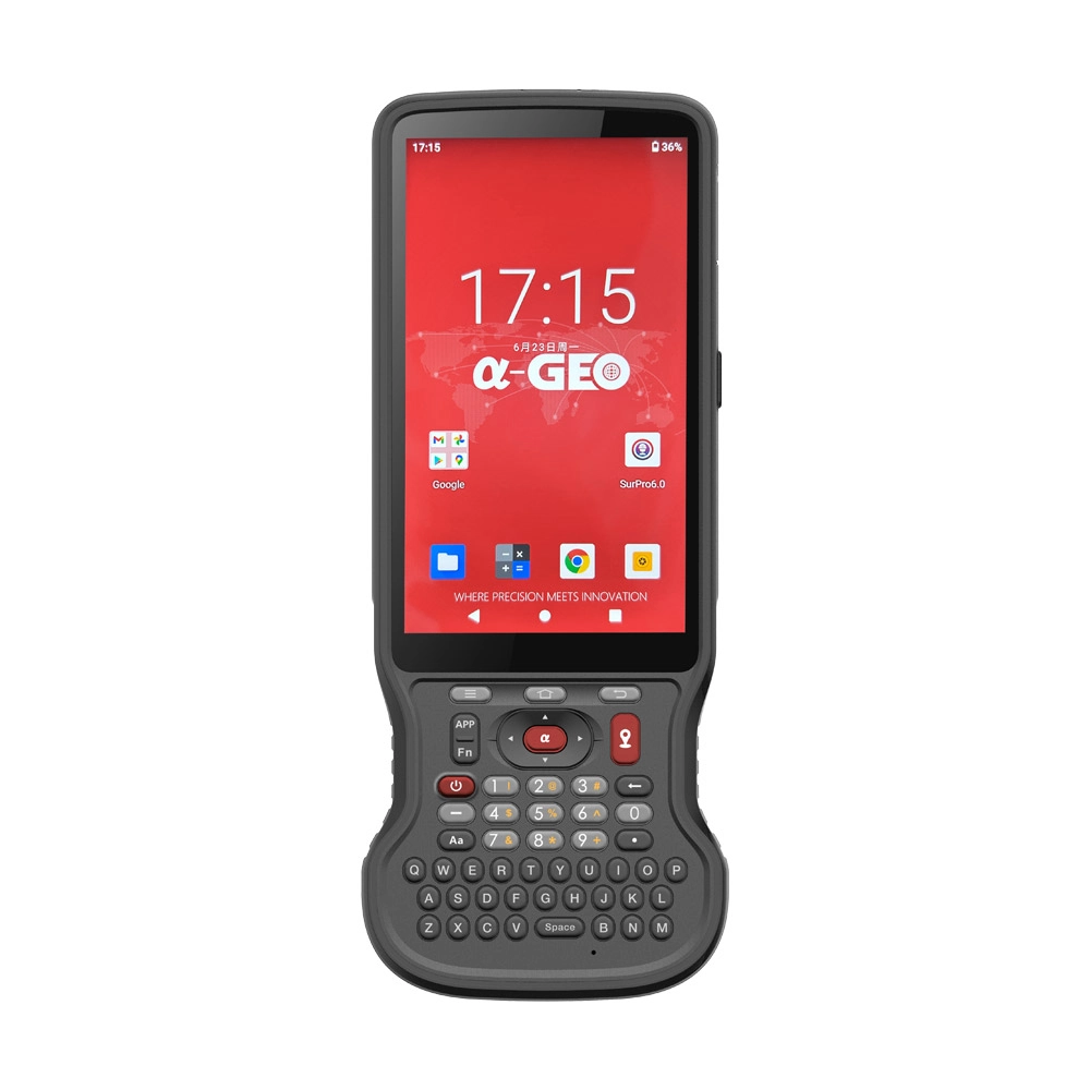
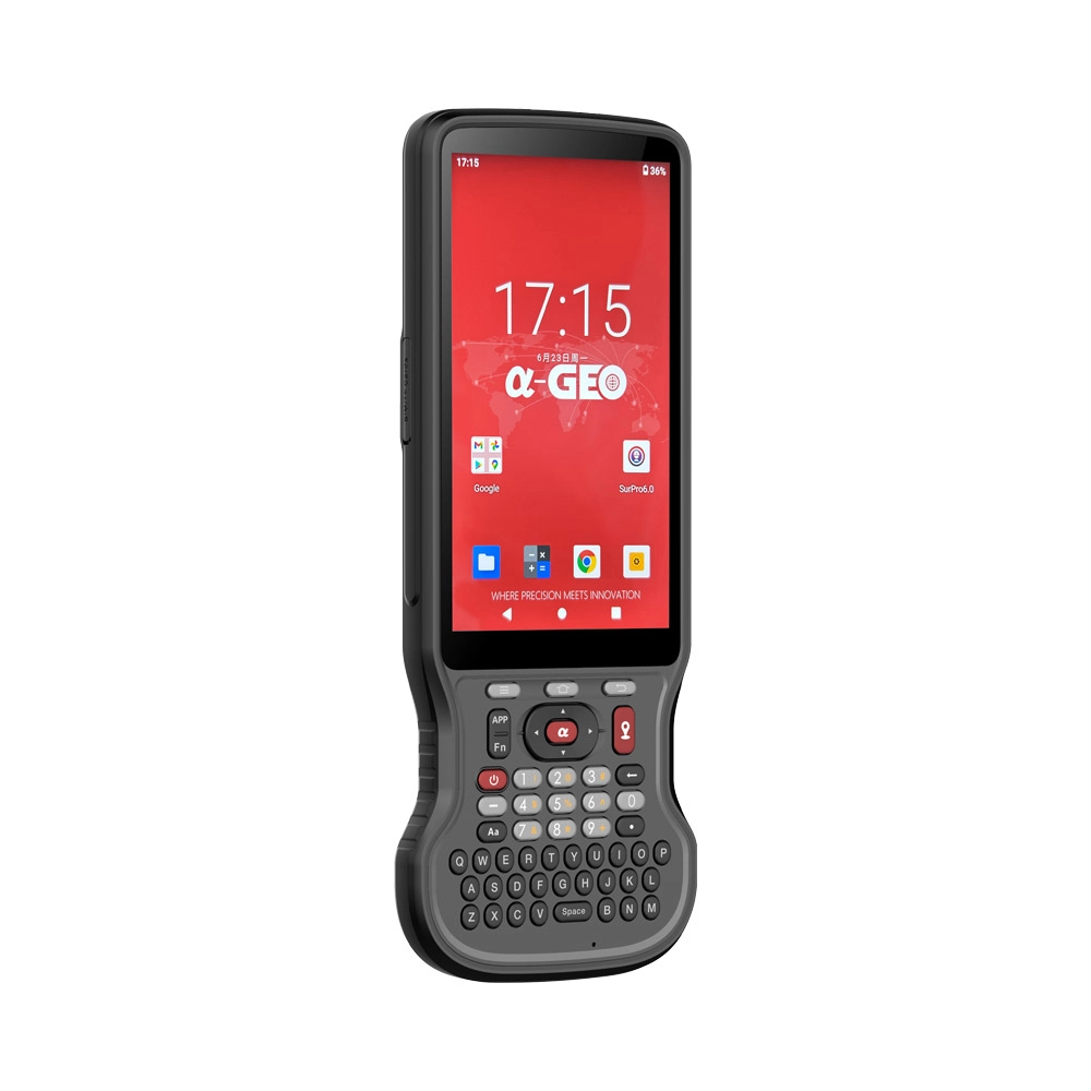
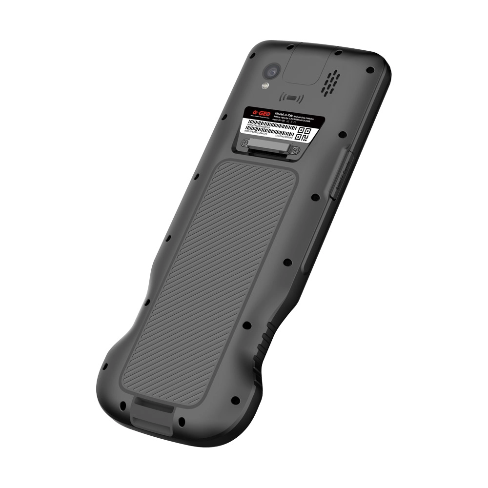
AlphaGeo A-Tab Rugged Android Survey Data Controller
This product is available
Get the best price for your setup
Contact our experts for the best possible price and configuration.
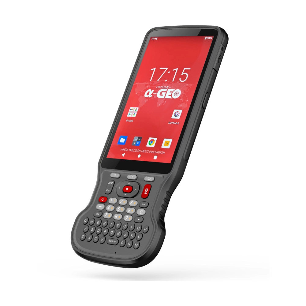
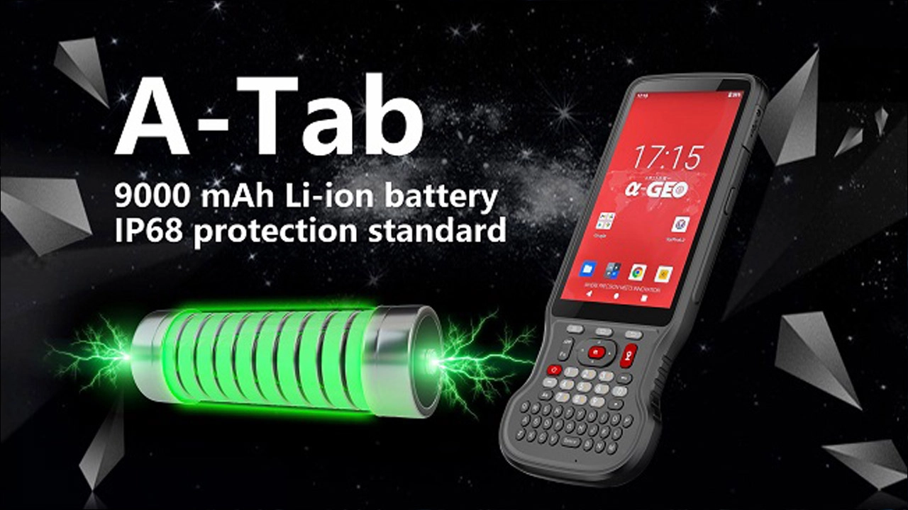
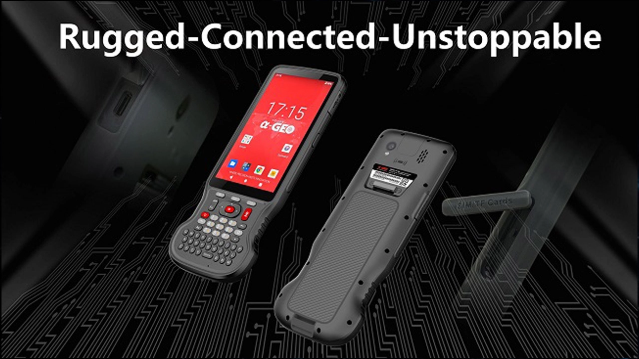
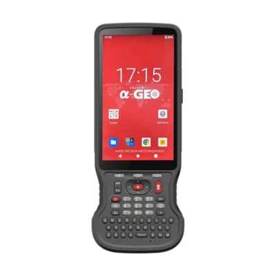
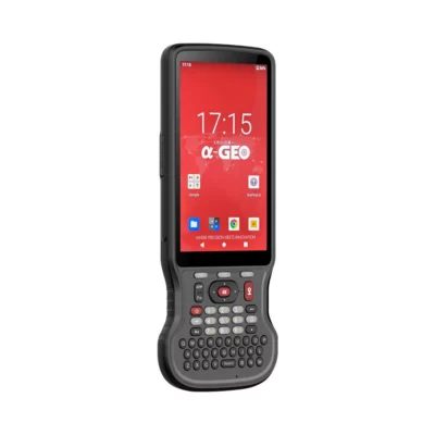
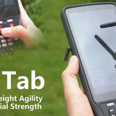
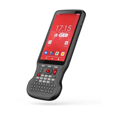
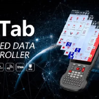
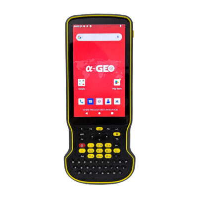
The AlphaGeo A-Tab is a slim, rugged Android data controller developed for GNSS surveying, construction layout, GIS mapping and field data collection. Its 5.5-inch Full HD display delivers clear project information outdoors, while wet-touch, glove and stylus support help field crews continue working in changing weather conditions.
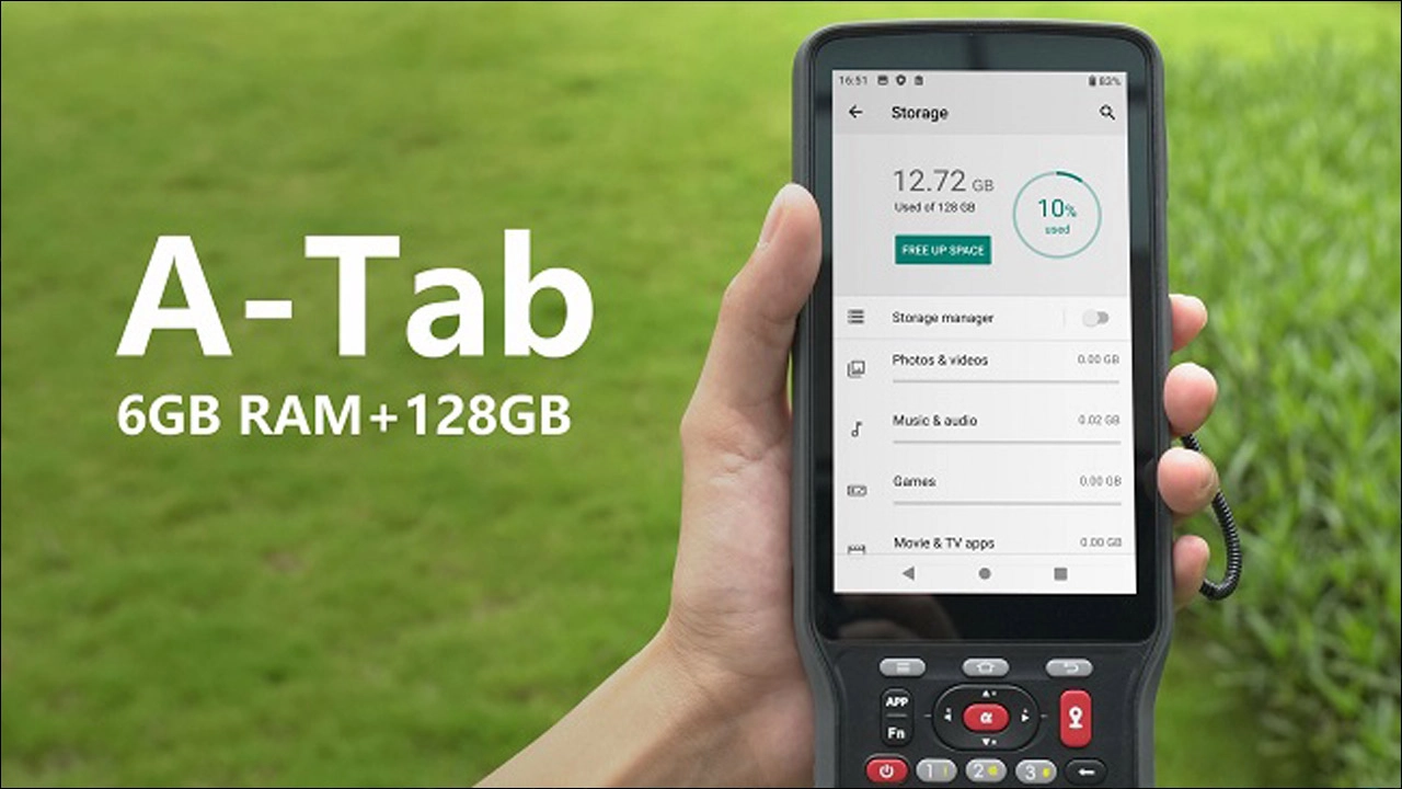
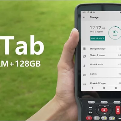
Android 14, an octa-core processor, 6GB RAM and 128GB internal storage provide the performance needed for survey software, CAD drawings, maps and larger project files. A physical QWERTY keyboard, programmable-style shortcut keys and a long-life 9000mAh battery make the A-Tab practical for surveyors and construction professionals who spend full working days away from the office.
AlphaGeo A-Tab Highlights
| Operating system | Android 14 with Google Mobile Services support |
|---|---|
| Display | 5.5-inch 1920 × 1080 Full HD screen with 550-nit brightness |
| Field input | Physical QWERTY keyboard with glove, wet-touch and stylus support |
| Memory and storage | 6GB RAM, 128GB internal storage and microSD expansion up to 512GB |
| Battery | 9000mAh Li-ion battery with a stated runtime of more than 22 hours |
| Connectivity | 4G LTE, dual-SIM, dual-band Wi-Fi, Bluetooth 5.0, NFC and USB Type-C |
| Rugged protection | IP68 and tested for a 1.8m fall onto a non-concrete surface |
You may also like…
Data collectors
Valued customers:










Find RTK Networks
Search NTRIP providers and connect to reliable RTK correction services.
Description
Rugged Field Controller for Surveying and Mapping
The AlphaGeo A-Tab Rugged Data Controller is designed to give surveyors, engineers, construction crews and GIS professionals a reliable way to control GNSS equipment and manage project data in the field. It combines an Android operating system, a clear outdoor display and a physical keyboard in a narrow handheld housing that is easier to carry around a busy worksite than a conventional tablet.
When connected to a compatible GNSS receiver, the A-Tab can be used for topographic surveying, point and line stakeout, site calibration, COGO calculations, offsets, area measurements and other routine field operations. Its mobile connectivity also allows crews to receive network RTK corrections and transfer data without returning to the office.
Android 14 for Modern Survey Applications
The A-Tab runs Android 14 and supports Google Mobile Services. This provides a familiar working environment for field users and allows compatible Android survey, mapping and communication applications to run on the same controller.
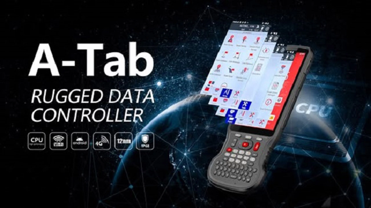
A MediaTek MT6769 octa-core processor with a clock speed of up to 2.0GHz handles project navigation, basemaps and CAD data. The processor is supported by 6GB of RAM, helping the controller switch between survey software, drawings, maps, photographs and communication tools without the limitations normally associated with basic consumer handhelds.
Clear 5.5-Inch Full HD Outdoor Display
The 5.5-inch display has a resolution of 1920 × 1080 pixels and a published brightness of 550 nits. This gives field crews enough screen detail to review maps, point codes, linework, CAD drawings and stakeout information while keeping the controller compact enough for one-handed use.
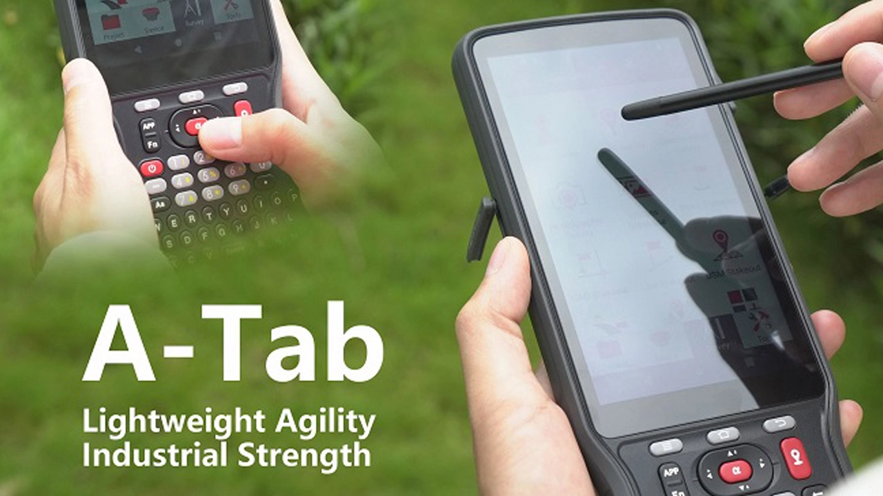
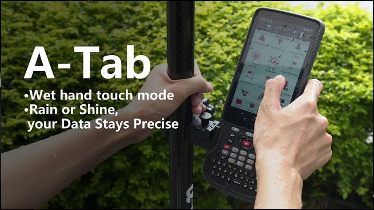
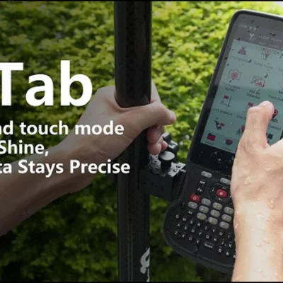
The display uses strengthened glass and supports capacitive multi-touch operation. Glove mode is useful during cold-weather surveying or construction work, while wet-touch support helps reduce false inputs when the screen is exposed to rain or moisture. A supplied stylus can be used when selecting small points or entering detailed information.
Physical Keyboard for Faster Field Entry
Touchscreens are convenient for maps and graphics, but physical buttons can be faster and more reliable when entering point numbers, feature codes, elevations and notes. The A-Tab includes a standard English QWERTY keyboard, allowing experienced surveyors to continue using familiar data-entry methods.
The combination of physical keys and touchscreen control is especially useful during stakeout and topographic work. Operators can view the graphical survey screen while using the keyboard for frequent commands and text input, reducing the need to open an on-screen keyboard that covers part of the drawing.
Surveying, Stakeout and Construction Workflows
With compatible field software and GNSS equipment, the A-Tab supports common workflows including topographic data collection, point stakeout, line stakeout, COGO, CAD use, localisation, site calibration, offsets, area calculations, parameter calculations and line extension.
For a surveyor, this means the controller can be used to record points and feature codes, inspect coordinate quality and organise data before export. Construction teams can use it to navigate to design points, position foundations, check utility alignments and set out site features using project coordinates.
The controller itself contains standard-positioning GNSS and assisted GPS for general navigation. High-precision centimetre-level survey work requires connection to a compatible external RTK GNSS receiver rather than relying on the controller’s internal navigation sensor.
CAD, GIS and Field Data Compatibility
The A-Tab supports commonly used data formats including CSV, DXF, text files, shapefiles and JSON. This makes it relevant to surveyors and GIS users who exchange information between field software, CAD packages, mapping systems and office applications.
DXF support allows linework and design information to be carried into the field for stakeout or checking. Shapefiles and CSV files are useful for GIS collection, asset inventories and location databases. The exact import and export options available will depend on the installed field software.
Memory for Large Projects and Basemaps
The controller includes 128GB of internal eMMC storage for applications, project files, photographs, drawings and maps. Storage can be expanded with a microSDHC card of up to 512GB.
This capacity is useful when crews work with large CAD drawings, aerial imagery, offline basemaps or extensive GIS datasets. Field photographs can also be retained with the project rather than being removed frequently to free storage space.
Long Battery Life for Full Field Days
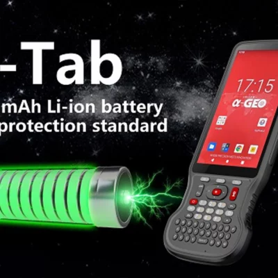
A built-in 9000mAh lithium-ion battery provides a published operating time of more than 22 hours. Actual runtime will vary according to screen brightness, mobile-network use, Wi-Fi activity, Bluetooth connections and the applications running on the controller.
The extended battery capacity is valuable for long survey days, remote construction projects and GIS collection work where charging facilities may not be readily available. The brochure specifies a typical charging time of less than four hours.
4G Connectivity for Network RTK Corrections
The A-Tab supports a wide range of 4G LTE, WCDMA and GSM network bands. Dual Nano-SIM support allows teams to use two mobile providers or separate work and data connections where required.
For GNSS surveying, mobile connectivity can be used to access an NTRIP correction service through compatible survey software. This allows the connected RTK receiver to receive real-time corrections from a reference-station network without a separate radio base station, provided suitable mobile coverage and a correction-service account are available.
Wireless and Cable Connections
Bluetooth 5.0 provides a practical connection to compatible GNSS receivers and other field equipment. Dual-band 2.4GHz and 5GHz Wi-Fi can be used for office networks, phone hotspots, file synchronisation and software updates.
A USB Type-C connection supports charging and wired data transfer, while NFC provides additional short-range identification and connectivity options for supported applications. These communication choices allow the controller to fit into both traditional GNSS surveying setups and cloud-connected digital workflows.
Designed for Difficult Site Conditions
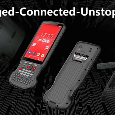
The A-Tab has an IP68 ingress-protection rating, helping protect the controller against dust and water during outdoor use. AlphaGeo also specifies resistance to a 1.8-metre fall onto a non-concrete surface.
Its published operating-temperature range is -25°C to +65°C, with a storage range of -40°C to +70°C. These characteristics make the controller more appropriate for construction sites and field surveying than a standard consumer smartphone, although normal care and secure handling remain important.
Slim and Portable Design
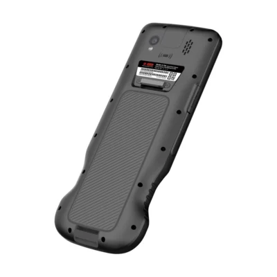
Despite its rugged construction and large battery, the A-Tab measures 226.3 × 90.6 × 16.9mm and weighs approximately 436g including the battery. The narrow housing is designed to sit comfortably in the hand and can be secured using the included hand strap.
This format is useful for surveyors moving between points, walking long GIS routes or climbing around active construction areas. It offers more physical controls than a phone while remaining smaller and lighter than many rugged tablets.
Camera and Integrated Field Sensors
A rear 13-megapixel autofocus camera with flash allows users to document measured assets, site conditions and completed work. Photographs can be stored with other project information or used to provide visual context for GIS records and survey notes.
The controller also incorporates a gyroscope, electronic compass, accelerometer, G-sensor and light sensor. How these sensors are used depends on the selected Android and survey applications.
Typical Applications
- GNSS topographic surveying and feature coding
- Construction point and line stakeout
- Site calibration and coordinate localisation
- GIS asset mapping and field inspections
- CAD drawing and basemap use in the field
- Network RTK connection and project-data transfer
Who Is the AlphaGeo A-Tab For?
The A-Tab is intended for land surveyors, construction engineers, site crews, GIS technicians, utility teams and other professionals who need a dedicated controller for outdoor data collection. It is particularly relevant to users who prefer physical keys for fast coding and coordinate entry but still need a modern touchscreen interface for maps and drawings.
Compared with a consumer smartphone, it offers a larger battery, a rugged enclosure, survey-oriented controls and better support for continuous outdoor operation. Compared with a large tablet, it is easier to carry on a pole or operate while moving between survey points.
Configuration and Support from Global GPS Systems
Global GPS Systems can help match the AlphaGeo A-Tab to a compatible GNSS receiver, survey application and RTK correction workflow. Before deployment, buyers should confirm software licensing, regional mobile-network compatibility, required file formats and communication support for their existing receiver.
A correctly configured controller helps field crews move data efficiently between the GNSS receiver, the construction site and office software. The final setup should reflect the organisation’s survey methods, coordinate systems and reporting requirements rather than treating the controller as a standalone precision instrument.
Datasheets & Manuals
Datasheets and manuals
Specifications
ALPHAGEO A-Tab Rugged Data Controller Specifications
Product Overview
| Manufacturer | ALPHAGEO |
|---|---|
| Model | A-Tab |
| Product Type | Rugged handheld field data controller |
| Primary Use | Field surveying, mapping, GNSS data collection, stakeout and construction layout |
| Form Factor | Slim handheld controller with integrated physical QWERTY keyboard |
| Operating Platform | Android |
| GNSS Compatibility | Designed for connection to GNSS receivers and RTK network correction services |
System and Processing
| Operating System | Android 14 with Google Mobile Services support |
|---|---|
| Online Updates | FOTA firmware-over-the-air updates |
| Processor | MediaTek MT6769 octa-core processor |
| Maximum CPU Frequency | 2.0 GHz |
| Processor Manufacturing Process | 12 nm |
| RAM | 6 GB |
| Internal Storage | 128 GB eMMC |
| Expandable Storage | MicroSDHC card support up to 512 GB |
Display and Touchscreen
| Display Size | 5.5 inches |
|---|---|
| Display Resolution | 1920 × 1080 pixels, Full HD |
| Display Brightness | 550 nits |
| Outdoor Visibility | Sunlight-readable industrial-grade display |
| Display Glass | Corning Gorilla Glass scratch-resistant toughened glass |
| Touchscreen Type | Capacitive multi-touch touchscreen |
| Stylus Support | Supported |
| Glove Mode | Supported |
| Wet-Touch Mode | Supported |
Keyboard and User Controls
| Keyboard Type | Integrated physical QWERTY keyboard |
|---|---|
| Keyboard Language | Standard English keyboard |
| Shortcut Keys | Integrated application shortcut buttons |
| Input Methods | Touchscreen, physical keyboard and stylus |
Surveying and Mapping Software Functions
| Topographic Survey | Supported |
|---|---|
| Point Stakeout | Supported |
| Line Stakeout | Supported |
| COGO Functions | Supported |
| CAD Functions | Supported, including CAD drawing management and display |
| Localization | Supported |
| Site Calibration | Supported |
| Offset Measurement | Supported |
| Area Calculation | Supported |
| Parameter Calculation | Supported |
| Line Extension | Supported |
| Basemap Display | Supported |
Supported Data Formats
| CSV | Supported |
|---|---|
| DXF | Supported |
| Text Files | Supported |
| Shapefile | Supported |
| JSON | Supported |
Integrated GNSS and Sensors
| Sensor or System | Support | Details |
|---|---|---|
| GNSS | Yes | Supports GPS, GLONASS and BeiDou |
| A-GPS | Yes | Assisted GNSS positioning support |
| G-Sensor | Yes | Integrated motion sensor |
| Gyroscope | Yes | Integrated |
| Electronic Compass | Yes | Integrated E-Compass |
| Accelerometer | Yes | Integrated |
| Ambient Light Sensor | Yes | Integrated |
| Microphone | Yes | Integrated |
| Speaker | Yes | Integrated |
Cellular Communications
| Network Type | Supported Bands |
|---|---|
| GSM | 850, 900, 1800 and 1900 MHz |
| WCDMA | B1, B2, B4, B5 and B8 |
| LTE-TDD | B34, B38, B39, B40 and B41 |
| LTE-FDD | B1, B2, B3, B4, B5, B7, B8, B12, B13, B17, B20, B25, B26, B28 and B66 |
Wireless Connectivity and Interfaces
| Cellular Connectivity | Integrated 4G modem with multi-region network support |
|---|---|
| SIM Configuration | Dual Nano-SIM |
| Wi-Fi | IEEE 802.11a/b/g/n/ac |
| Wi-Fi Bands | Dual-band 2.4 GHz and 5 GHz |
| Bluetooth | Bluetooth 5.0 |
| USB Connector | USB Type-C |
| USB Standard | USB 2.0 |
| NFC | Supported |
| RTK Network Connectivity | Supports internet connection to network RTK correction services |
| External GNSS Receiver Connectivity | Bluetooth, Wi-Fi and cellular connectivity for compatible GNSS receivers and correction sources |
Camera and Multimedia
| Rear Camera Resolution | 13 MP |
|---|---|
| Autofocus | Supported |
| Camera Flash | Integrated flash |
| Field Image Capture | Supports on-site photographic documentation |
Battery and Charging
| Battery Type | Rechargeable lithium-ion battery |
|---|---|
| Battery Capacity | 9000 mAh |
| Battery Configuration | Integrated high-capacity internal battery |
| Battery Life | More than 22 hours |
| Typical Charging Time | Less than 4 hours |
| Charging Interface | USB Type-C |
Physical Specifications
| Dimensions | 226.3 × 90.6 × 16.9 mm |
|---|---|
| Weight | 436 g including battery |
| Design | Slim, lightweight rugged handheld construction |
| Hand Strap Support | Supported |
Environmental and Ruggedness Specifications
| Ingress Protection | IP68 dustproof and waterproof |
|---|---|
| Drop Resistance | Designed to withstand a 1.8 m drop onto a non-concrete surface |
| Operating Temperature | -25°C to +65°C |
| Storage Temperature | -40°C to +70°C |
| Operating Humidity | 5% to 95% non-condensing |
| Wet-Weather Operation | Wet-touch support enables touchscreen operation in wet conditions |
| Outdoor Operation | Designed for surveying and data collection in demanding field environments |
Certifications
| CE | Certified |
|---|---|
| FCC | Certified |
| MSDS | Available |
Key Features
| Sunlight-Readable Display | 550-nit Full HD display designed for outdoor surveying work |
|---|---|
| Rugged Construction | IP68 protection and 1.8 m drop resistance for demanding field use |
| Long Operating Time | 9000 mAh battery provides more than 22 hours of operation |
| Physical Data Entry | Integrated QWERTY keyboard and shortcut keys support rapid field input |
| Large Storage Capacity | 128 GB internal storage with expansion up to 512 GB |
| Multi-Network Connectivity | 4G, dual-band Wi-Fi, Bluetooth 5.0, NFC and USB Type-C |
| All-Weather Touch Operation | Supports gloves, stylus input and wet-touch operation |
| Survey Workflow Support | Supports topographic survey, stakeout, COGO, CAD, calibration and calculation workflows |
Typical Applications
| GNSS Surveying | Control surveys, topographic surveys and GNSS field data collection |
|---|---|
| Construction Layout | Point and line stakeout, site calibration and construction positioning |
| GIS Data Collection | Field mapping, attribute collection and geographic database updates |
| CAD Field Work | Viewing and managing CAD drawings and basemaps in the field |
| Utility Mapping | Collection and documentation of utility and infrastructure locations |
| Engineering Surveying | Measurement, offset, area and parameter calculation workflows |
Standard Package Contents
| Item | Quantity | Notes |
|---|---|---|
| A-Tab Rugged Data Controller | 1 | Main handheld field controller |
| AC Charger | 1 | Included charging adapter |
| USB Cable | 1 | USB Type-C charging and data cable |
| Stylus | 1 | For touchscreen data entry |
| Hand Strap | 1 | For secure handheld field operation |
Specifications and package contents may vary by configuration, region or manufacturer update. Always check the current configuration before ordering.
FAQ
ALPHAGEO A-Tab Rugged Data Controller FAQ
Product Overview and Field Applications
What is the ALPHAGEO A-Tab rugged data controller?
The ALPHAGEO A-Tab is a slim, industrial-grade Android field data collector designed for surveying, mapping, construction layout and other outdoor data-capture workflows. It combines a 5.5-inch sunlight-readable display, physical QWERTY keyboard, rugged housing and multiple wireless communication options.
Who is the A-Tab data controller designed for?
The A-Tab is designed for land surveyors, mapping professionals, construction layout teams, GIS field crews, civil engineers, utility companies, mining teams and other users who need to collect, process and transfer field data in demanding outdoor environments.
What surveying tasks can the A-Tab perform?
With compatible field software, the A-Tab supports topographic surveying, point and line stakeout, COGO calculations, CAD-based workflows, localization, site calibration, offset measurements, area calculations, parameter calculations and line-extension functions.
Can the A-Tab be used for construction stakeout?
Yes. The A-Tab supports point and line stakeout, coordinate calculations, offsets and CAD-based field workflows. When connected to compatible GNSS or surveying equipment, it can help construction teams transfer design positions and elevations to the site.
Is the A-Tab suitable for GIS and mapping work?
Yes. Its Android platform, integrated positioning sensors, camera, expandable storage and support for formats such as CSV, DXF, shapefile, text and JSON make it suitable for GIS data collection, asset mapping and field inspection workflows.
Can the A-Tab be used with a GNSS RTK receiver?
Yes. The A-Tab is intended for use as a field controller with compatible GNSS and RTK surveying receivers. Bluetooth, Wi-Fi, cellular and USB connectivity provide several options for exchanging measurements, corrections and project data.
Display, Keyboard and Daily Operation
What type of display does the A-Tab have?
The A-Tab has a 5.5-inch HD display with a resolution of 1920 × 1080 pixels and a brightness of 550 nits. The screen uses durable Gorilla Glass and is designed to remain readable during outdoor fieldwork.
Can the A-Tab screen be used in sunlight?
Yes. The 550-nit display is designed to improve screen visibility in bright outdoor conditions. Actual readability can still vary with viewing angle, reflections and the intensity of direct sunlight.
Can the A-Tab touchscreen be used with gloves or in wet conditions?
Yes. The capacitive multi-touch display supports stylus input, glove mode and wet-touch operation, helping field crews continue working when wearing protective gloves or when the screen is exposed to moisture.
Does the A-Tab have a physical keyboard?
Yes. The A-Tab includes a standard English QWERTY keyboard. Physical keys can make coordinate entry, feature coding and survey commands easier in field conditions where touchscreen-only operation may be less convenient.
Does the A-Tab include a camera?
Yes. The controller includes a 13-megapixel camera with autofocus and flash. It can be used to document site conditions, survey points, assets and inspection observations alongside collected field data.
What operating system does the A-Tab use?
The A-Tab runs Android 14 and supports Google Mobile Services. Its Android platform allows compatible surveying, mapping, GIS and communication applications to be installed and operated on the controller.
Performance, Storage and Connectivity
What processor and memory does the A-Tab have?
The A-Tab uses a MediaTek MT6769 octa-core processor with a clock speed of up to 2.0 GHz. It includes 6 GB of RAM and 128 GB of internal eMMC storage for field applications, project files and collected data.
Can the A-Tab storage capacity be expanded?
Yes. The A-Tab supports MicroSDHC memory cards with capacities of up to 512 GB, providing additional space for survey projects, CAD drawings, maps, photographs and exported field data.
Which survey and mapping file formats does the A-Tab support?
Compatible field software can work with common formats including CSV, DXF, text, shapefile and JSON. Support for a specific file structure or software version should be confirmed before starting a project.
Does the A-Tab support mobile data and dual SIM cards?
Yes. The A-Tab supports GSM, WCDMA and multiple LTE-TDD and LTE-FDD frequency bands. It also includes two Nano-SIM card slots for cellular data communication in supported regions and networks.
Which wireless connections are available on the A-Tab?
The A-Tab supports dual-band 2.4 GHz and 5 GHz Wi-Fi, Bluetooth 5.0, NFC and cellular communication. These options allow it to connect with compatible GNSS receivers, cloud services, local networks and field accessories.
What type of USB connection does the A-Tab use?
The A-Tab includes a USB Type-C port with USB 2.0 support. It can be used for charging, data transfer and connection to compatible equipment and accessories.
Does the A-Tab include built-in positioning and motion sensors?
Yes. The controller supports GPS, BeiDou and GLONASS positioning with assisted GPS. It also includes a G-sensor, gyroscope, electronic compass, accelerometer and light sensor for compatible field applications.
Ruggedness, Battery and Accessories
Is the A-Tab waterproof and dustproof?
Yes. The A-Tab has an IP68 ingress-protection rating, providing a high level of protection against dust and water under the test conditions defined by the IP68 standard. Ports and covers must be closed correctly to maintain protection.
Can the A-Tab withstand drops in the field?
The A-Tab is specified to withstand a 1.8-metre drop onto a non-concrete surface. Actual damage resistance depends on the angle of impact, the landing surface and whether ports or accessories are exposed.
What is the operating temperature range of the A-Tab?
The specified operating temperature range is −25°C to +65°C. The storage temperature range is −40°C to +70°C, making the controller suitable for a wide variety of outdoor climates and field conditions.
How long does the A-Tab battery last?
The A-Tab provides a specified battery life of more than 22 hours. Actual operating time depends on screen brightness, cellular use, GNSS communication, installed applications, ambient temperature and other operating conditions.
What are the dimensions and weight of the A-Tab?
The A-Tab measures approximately 226.3 × 90.6 × 16.9 mm and weighs about 436 g with the battery installed. Its narrow, slim design is intended for handheld use during long field sessions.
Which standard accessories are supplied with the A-Tab?
The listed standard accessories include an AC charger, USB cable, stylus and hand strap. The exact package contents should be confirmed for the selected configuration and region.
Reviews (0)
Only logged in customers who have purchased this product may leave a review.

 GPS & GNSS
 Total Stations
 Data collectors
 Software
 Correction services
 Machine control
 External radio
 Lasers & levellers
 Marine
 Accessories
Reviews
There are no reviews yet