As a promotion all order from €500 or more are shipped for free from our warehouse in The Netherlands
100% BUYERS PROTECTION
Buyer Protection services from PayPal and Credit card offer you comprehensive protection. If an item doesn’t arrive or is significantly not as described, you will get a full refund.
PREMIUM SUPPORT
Our trained staff is ready to help you at any time. We are available by phone, Email or through the chat function on our site. Having issues with your equipment or don't know how to set it up? Thanks to services like Teamviewer, Skype or zoom we are able to help you from a distance! We always make sure you're up and running.
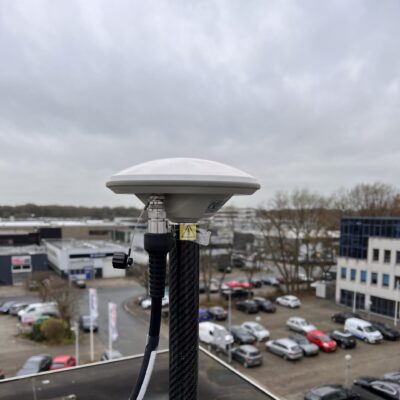
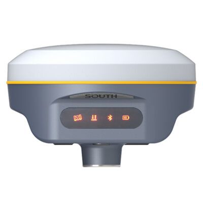
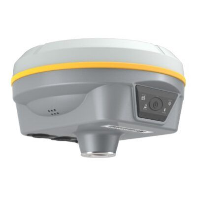
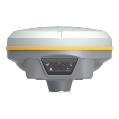
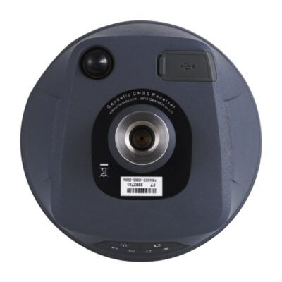
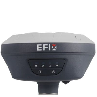
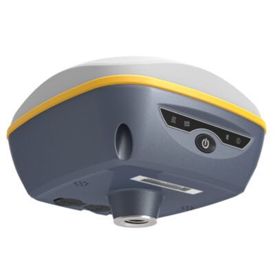
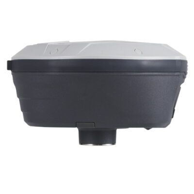
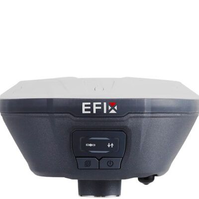
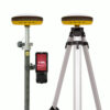
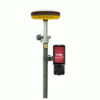
The a-GEO L300 is a compact new generation of smart GNSS receiver designed for any surveying project using the latest GNSS technology. This receiver is equipped with all modern required connectivity modules: Bluetooth, Internal radio,WIFI & 4G modem. 6800mAh Built-in battery, IMU tilt technology and WebUl are other latest technologies used in L300 receivers.
4.76 store rating(533 reviews) | 4.66 product rating
Need Help? Call us!
+31 (0)35 205 7939
Follow us!
Description
a-GEO L300 Rover Base set Review
a-GEO L300 RTK GNSS Receiver
The a-GEO L300 is a compact new generation of smart GNSS receiver designed for any surveying project using the latest GNSS technology. This receiver is equipped with all modern required connectivity modules: Bluetooth, Internal radio,WIFI & 4G modem. 6800mAh Built-in battery, IMU tilt technology and WebUl are other latest technologies used in L300 receivers.
Channels
1408
IMU Tilt Sensor
60º
Internet Modem
4G
UHF Radio
410 – 470MHz
GPS
L1C/A, L2C, L2P, L5
GLONASS
L1C/A, L1P, L2C/A, L2P
GALILEO
E1, E5a, E5b, AltBOC
BEIDOU
B1, B1C, B2, B2a, B2b, B3
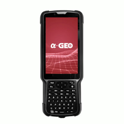
a-GEO S50III Data Collector
The α-GEO S50Ⅲ is a professional full keyboard GNSS data controller with smartphone capabilities. It has a 5” sunlight-readable touch display and backlight keypad, combined with integrated Bluetooth.
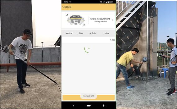
Measure directly into your coordinate system with the SurPro software
The a-GEO SurPro software is developed based on GNSS high-precision surveying. It is an user-friendly Android based software made for beginner and advanced surveyors.
GPS Survey pole
Make it easy to carry by mounting everything on a GPS Survey Pole. Recommended length is over 2 metres to minimise interference to your GNSS receiver and improve performance.
Data collector bracket
This is needed to ensure that your data collector stays firmly in place. It prevents it from being damaged unnecessarily and you don’t have to hold it in your hand all day.
Tripod
Used to set up your base receiver. The 3 legs provide great stability to prevent it from falling or moving.
Tribrach
This is used as a mounting platform for your receiver on your tripod. It also requires an adapter which you can choose in the next step.
Adapter
This is the connection between your tribrach and receiver. You can screw your receiver to the adapter and then place the adapter in your tribrach.
Reviews (0)
Reviews
There are no reviews yet.
Only logged in customers who have purchased this product may leave a review.


Reviews
There are no reviews yet.