
 GPS & GNSS
 Lidar scanning
 Total Station
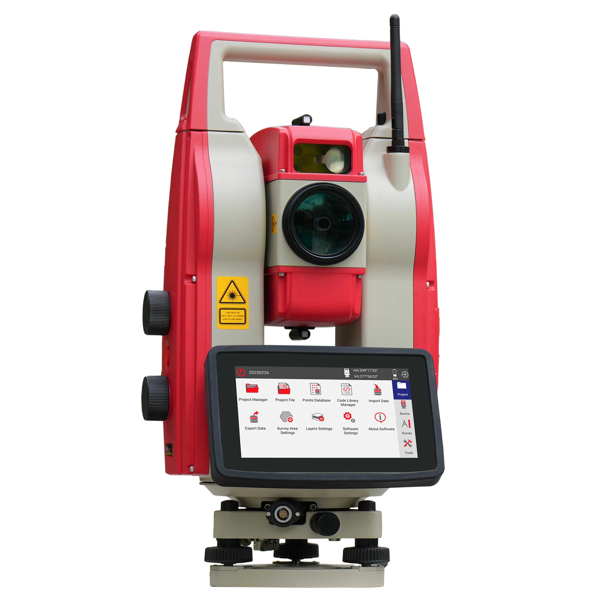

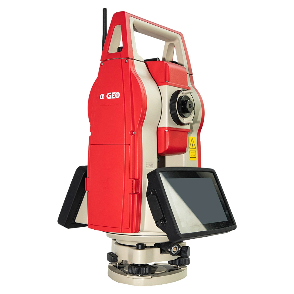
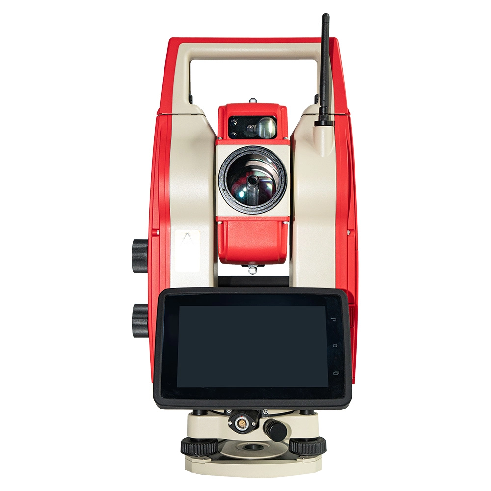
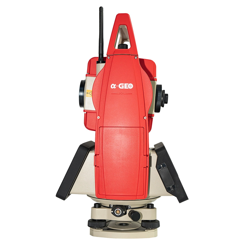

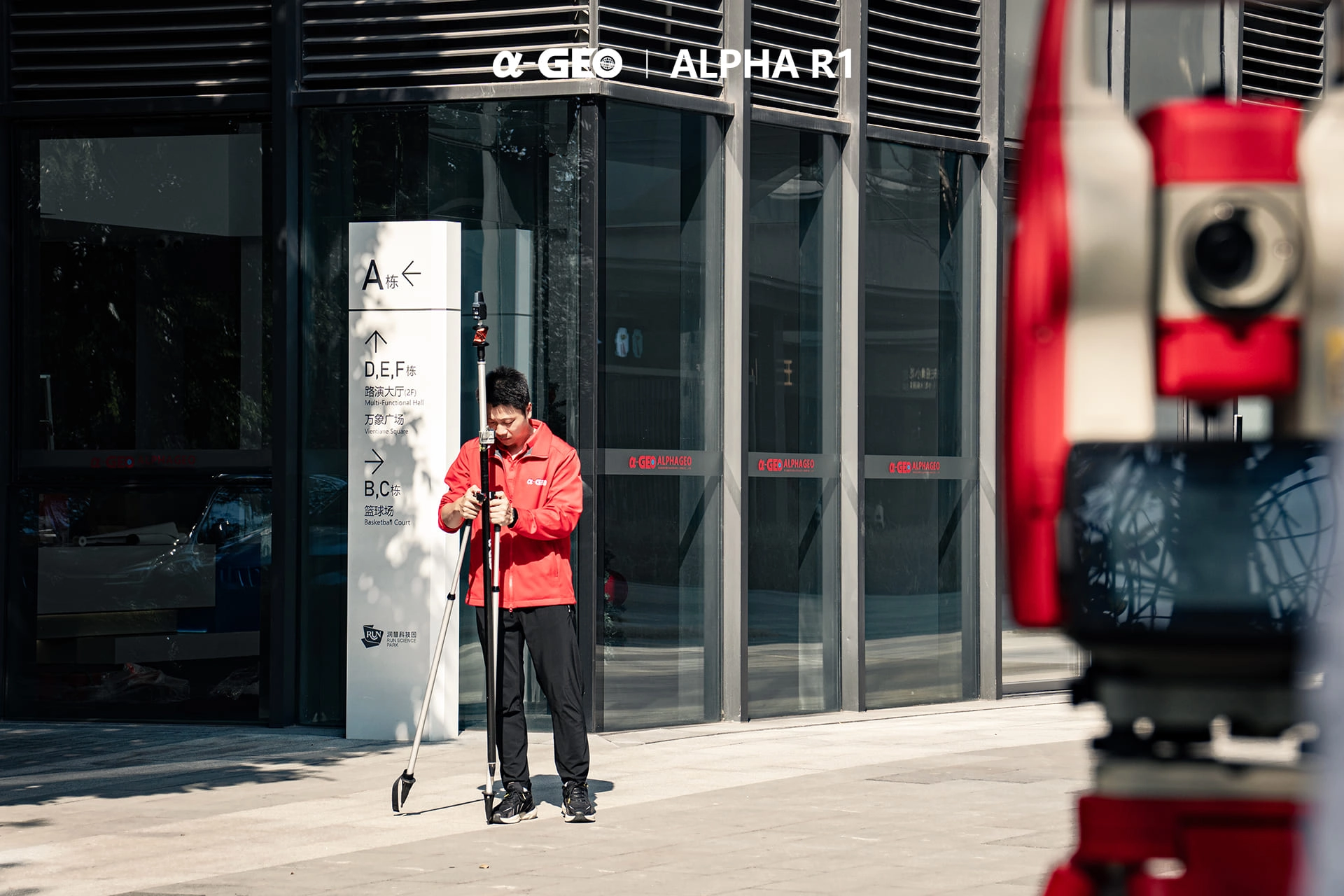

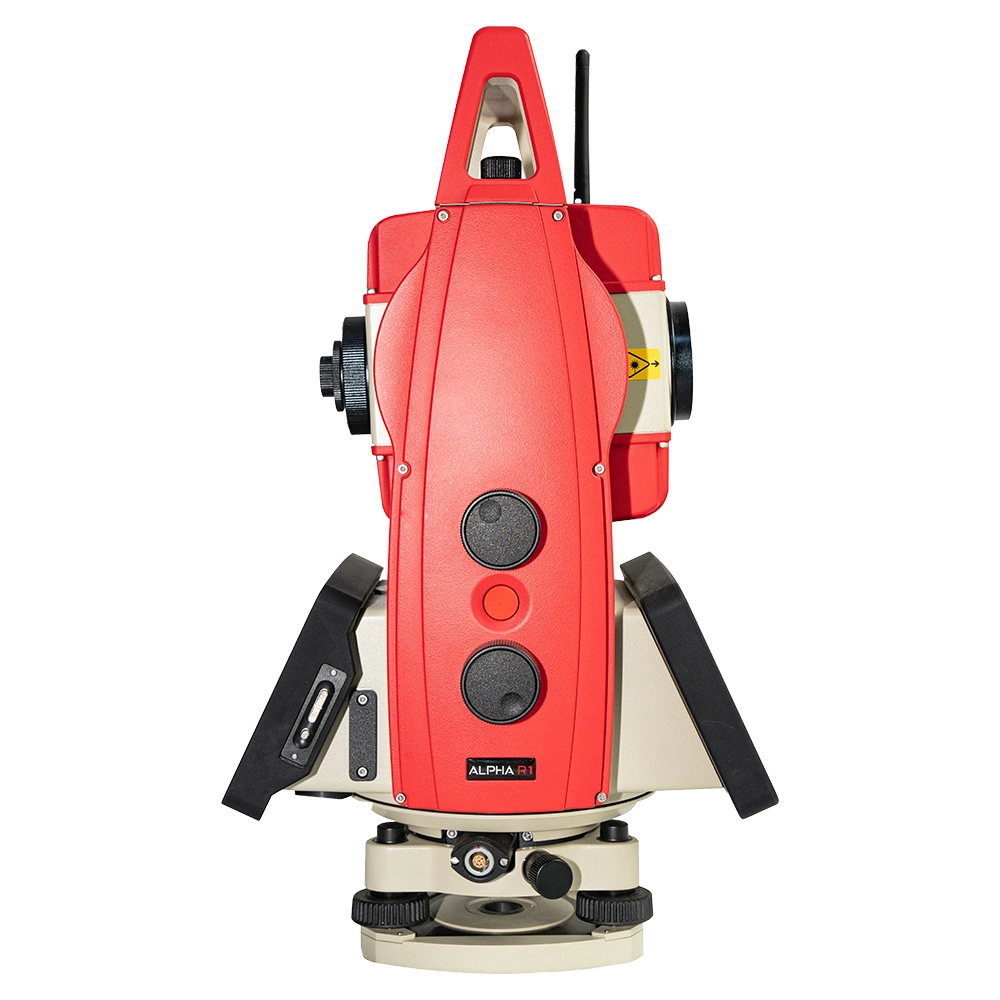


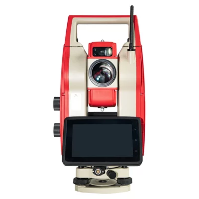

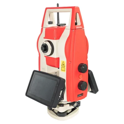
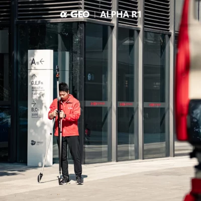
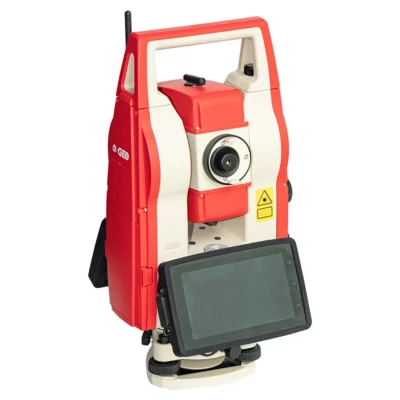


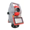
A-geo ALPHA R1 Robotic Total Station with Automatic Prism Tracking
This product is available
Get the best price for your setup
Contact our experts for the best possible price and configuration.
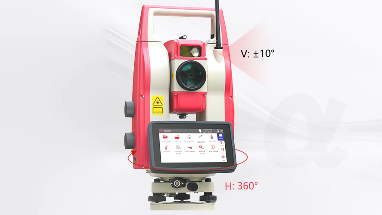
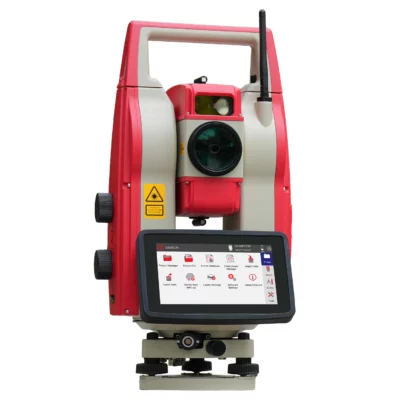
The ALPHA R1 is a 1″ robotic total station designed for efficient one-person surveying, construction layout and engineering measurement. Automatic prism recognition, intelligent prism search and continuous target tracking help the instrument find and follow the prism while the operator moves around the site. The integrated Android platform and SurPro 6.0 surveying software support field data collection, COGO calculations, CAD stakeout and road engineering workflows directly on the instrument.
With prism measurement accuracy of ±(1 mm + 1 ppm), a reflectorless range of up to 1,000 m and motorised rotation up to 180° per second, the ALPHA R1 is suited to demanding setting-out, topographic surveying, as-built checks, tunnel work and infrastructure projects. Dual 6-inch touchscreens, wireless connectivity and IP65 protection make it practical for daily field use.
ALPHA R1 Highlights
| Angular accuracy | 1″ |
|---|---|
| Prism measurement | Up to 3,500 m with ±(1 mm + 1 ppm) accuracy |
| Reflectorless measurement | Up to 1,000 m with ±(3 mm + 2 ppm) accuracy |
| Robotic tracking | Automatic prism recognition up to 1,000 m and prism search up to 300 m |
| Field software | Android operating system with SurPro 6.0 surveying software |
| Motor speed | Up to 180° per second |
| Display | Dual 6-inch colour touchscreens |
| Environmental protection | IP65 rated for dust and water resistance |
Valued customers:










Find RTK Networks
Search NTRIP providers and connect to reliable RTK correction services.
Description
Robotic surveying for efficient one-person fieldwork
The ALPHA R1 Robotic Total Station is built for surveyors, site engineers and construction professionals who need accurate optical measurement without keeping a second operator permanently behind the instrument. Its motorised drive, automatic prism recognition and continuous prism tracking allow the total station to locate and follow the prism as the user moves between survey or stakeout points.
This robotic workflow can make everyday field tasks more efficient, particularly during construction layout, topographic surveys, as-built measurement and engineering control. Instead of repeatedly returning to the instrument to turn and aim it manually, the operator can manage more of the measurement process from the working point.
Survey-grade angular and distance measurement
The ALPHA R1 provides 1″ angular accuracy for precise control, setting-out and engineering measurement. When measuring to a single prism, it offers a stated distance range of up to 3,500 m with an accuracy of ±(1 mm + 1 ppm). This level of performance is suitable for detailed site control, structural positioning, road construction and other work where small measurement errors can create larger problems later in the project.
For points that cannot be reached safely or conveniently with a prism, the reflectorless EDM can measure surfaces at distances of up to 1,000 m. Reflectorless measurement is useful for façades, stockpiles, overhead structures, tunnel surfaces, inaccessible corners and other features where placing a prism would be impractical.
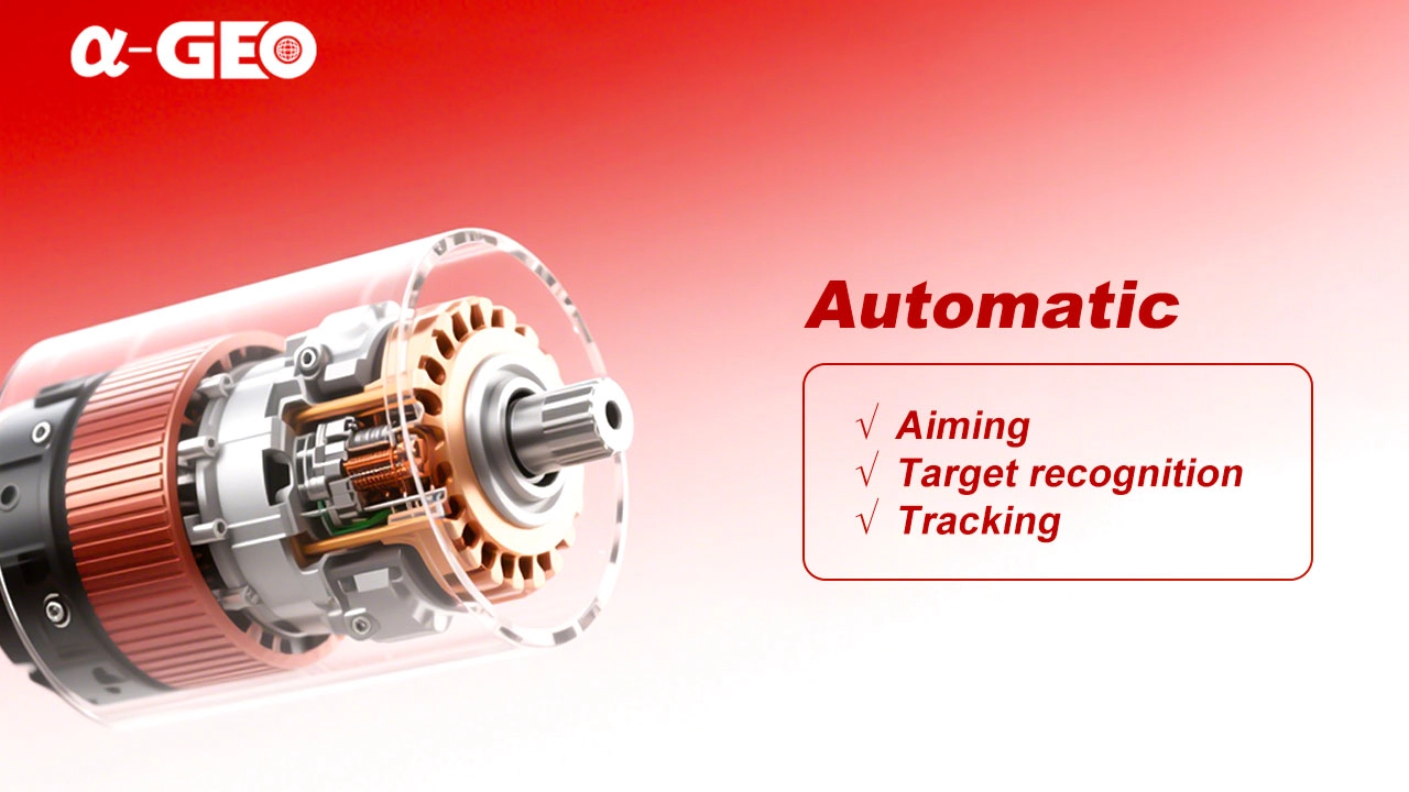
Automatic prism recognition and tracking
Automatic Prism Recognition helps the ALPHA R1 identify and aim at a prism at distances of up to 1,000 m. Its intelligent search function can scan horizontally through 360 degrees and search for a prism within a stated range of up to 300 m. Once the target is locked, the instrument can track prism movement at up to 20° per second.
In practical fieldwork, these functions reduce the time spent manually aiming the telescope. They are especially useful on active construction sites, during repeated setting-out, while collecting large numbers of detail points or when working around machinery and temporary obstructions.
Fast motorised movement
The torque motor can rotate the instrument at up to 180° per second. Fast motor movement helps the total station turn quickly between backsight, foresight and stakeout directions. This is valuable when points are distributed across a large site or when the instrument must repeatedly reacquire a moving prism.
The combination of automatic aiming, prism searching and motorised tracking supports a smoother workflow than a conventional manually aimed total station while retaining the optical measurement methods familiar to professional survey crews.
Android software for surveying and stakeout
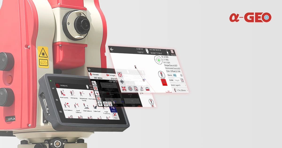
The ALPHA R1 runs on an Android operating system and includes SurPro 6.0 field software. The onboard workflow supports common surveying tasks such as point measurement, station setup, COGO calculations, line stakeout, point stakeout, CAD-based stakeout and road engineering work.
CAD integration allows field teams to use digital design information more directly during layout. This can reduce manual point preparation and make it easier to identify the correct design position on complex building, civil engineering and infrastructure projects. Road functions support alignment-based work where chainage, offsets, curves and design elements form part of the setting-out process.
Dual touchscreens and field connectivity
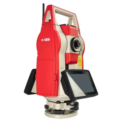
Two 6-inch colour touchscreens allow the instrument to be operated from either face. The larger display gives users more space to review measurements, project information and graphical stakeout data than a traditional compact total-station screen.
Available interfaces include RS232, USB, Micro USB, Bluetooth 4.0 and dual-band Wi-Fi. These connections support data exchange with field controllers, computers and compatible accessories. The internal configuration includes 3 GB RAM and 32 GB storage for software, project files and collected field data.
Camera and positioning support
A built-in 5 MP camera provides visual support during field operation. The manufacturer also specifies a 360-degree viewing camera, two-colour navigation lights and millimetre-wave radar obstacle detection. These systems are intended to assist robotic operation, target positioning and instrument movement in busy or restricted working environments.
Designed for construction and engineering environments
The ALPHA R1 has an IP65 dust and water resistance rating and a stated operating temperature range from -20°C to +50°C. This makes it suitable for normal outdoor surveying conditions, including construction sites, roads, tunnels and infrastructure projects, provided the instrument is used and maintained according to professional surveying practice.
The dual-axis compensator has a working range of 4 minutes and helps correct small instrument levelling deviations. A Class II laser plummet supports accurate setup over a known survey point, while the 30x telescope provides the optical magnification needed for precise manual observation and target checking.
Typical applications
The ALPHA R1 can be used for construction setting-out, engineering surveys, topographic data collection, road and utility projects, tunnel measurement, architectural surveys, volume calculations and urban redevelopment. Its robotic functions are particularly valuable for repetitive point layout and projects where one operator must move efficiently between the instrument and prism.
- Building grid, foundation and anchor-bolt layout
- Road, rail and utility alignment work
- Topographic and detail surveying
- As-built checks and deformation observations
- Tunnel, underground and restricted-access measurement
Choosing the ALPHA R1
The ALPHA R1 is a practical choice for organisations moving from a manual total station to a robotic workflow. It combines precise angle and distance measurement with automatic target recognition, fast motorised movement and integrated Android surveying software. These features can reduce unnecessary walking between the instrument and prism and help a single surveyor complete routine measurement and layout work more efficiently.
Global GPS Systems can help buyers assess whether the ALPHA R1 fits their surveying software, field-controller and accuracy requirements. Professional advice, product configuration and technical support are important when introducing robotic total-station workflows into construction, surveying or engineering teams.
Datasheets & Manuals
Datasheets and manuals
Datasheets & manuals
Specifications
AlphaGeo ALPHA R1 Robotic Total Station Specifications
Product Overview
| Manufacturer | Guangzhou Alpha Geo-Info Co., Ltd. (AlphaGeo / α-GEO) |
|---|---|
| Model | ALPHA R1 |
| Product Type | Motorized robotic total station |
| Primary Operation | Remote-controlled, single-operator surveying with automatic prism recognition, prism search, aiming, locking and tracking |
| Onboard Surveying Software | SurPro 6.0 |
| Operating System | Android 9.0 |
| Modular Development Support | Modular architecture designed to support secondary development and customized cross-industry applications |
Key Robotic Functions
| Automatic Precision Aiming | Supported |
|---|---|
| Automatic Prism Recognition | Supported; automatically identifies and measures prism targets |
| Automatic Prism Search | Supported with 360° horizontal search coverage |
| Automatic Prism Lock | Supported |
| Continuous Prism Tracking | Supported |
| Single-Person Measurement | Supported through automated station operation, target recognition, prism tracking and data collection |
| Remote Operation | Supports remote intelligent control and compatible terminal devices such as tablets |
| Remote Connectivity | Wi-Fi supported directly; product literature also describes remote workflows through 4G/5G-connected terminals |
| Obstacle Detection | Millimeter-wave radar obstacle-avoidance system |
| Navigation Assistance | Pair of two-color navigation lights |
| Surround-View Camera | 360° full-view camera system |
Angle Measurement
| Angular Accuracy | 1″ |
|---|---|
| Angle Measurement Method | Absolute encoding |
| Horizontal Detecting System | Quadruple |
| Vertical Detecting System | Quadruple |
| Minimum Angle Reading | 0.1″ |
| Circle Diameter | 79 mm |
| Vertical-Angle Reference | Zenith 0° or horizontal 0° |
| Selectable Angle Units | 360°, 400 gon or 6400 mil |
Distance Measurement
| Measurement Mode | Maximum Range | Accuracy |
|---|---|---|
| Single Prism | 3,500 m | ±(1 mm + 1 ppm) |
| Reflectorless / Non-Prism | 1,000 m | ±(3 mm + 2 ppm) |
Distance Measurement Performance
| Prism Fine Measurement Time | Less than 0.7 seconds |
|---|---|
| Prism Tracking Measurement Time | Less than 0.3 seconds |
| Reflectorless Measurement Time Below 600 m | 0.5 to 3 seconds |
| Reflectorless Measurement Time Above 600 m | Less than 10 seconds |
| Atmospheric PPM Correction | Automatic sensor-based correction |
Automatic Prism Recognition
| APR Working Range | 1.5 to 1,000 m |
|---|---|
| APR Search Time | 5 seconds |
| Target Function | Automatic identification, aiming and measurement of prism targets |
Prism Search and Lock
| Prism Search Working Range | 1.5 to 300 m |
|---|---|
| Typical Prism Search Time | Less than 10 seconds |
| Horizontal Search Field | 360° |
| Vertical Search Field | ±10° |
| Prism-Lock Tracking Speed | 20° per second |
Motorization
| Drive Technology | xTrak motorization system |
|---|---|
| Motor Type | Torque motor |
| Maximum Rotation Speed | 180° per second |
| Automated Motion Functions | Automatic aiming, prism recognition, prism search, prism lock and continuous tracking |
Telescope
| Telescope Length | 164.5 mm |
|---|---|
| Telescope Diameter | 45 mm |
| EDM Diameter | 47 mm |
| Magnification | 30× |
| Image | Erect |
| Field of View | 1°30′ |
| Resolving Power | 3″ |
| Minimum Focusing Distance | 1.5 m |
Compensator
| Tilt Sensor | Dual-axis liquid-electric sensor |
|---|---|
| Compensation Range | ±4′ |
| Compensator Accuracy | 1″ |
Laser Plummet
| Laser Wavelength | 635 nm |
|---|---|
| Laser Classification | Class II |
| Plummet Accuracy | 0.4 mm at an instrument height of 1.5 m |
| Laser Spot Diameter | 1.8 mm at an instrument height of 1.5 m |
Leveling System
| Plate Level Sensitivity | 30″ per 2 mm |
|---|---|
| Circular Level Sensitivity | 8′ per 2 mm |
Display and User Interface
| Display Configuration | Dual-sided displays |
|---|---|
| Display Size | 6 inches |
| Display Type | Color touchscreen LCD |
| User Interface Platform | Android-based graphical interface |
| Onboard Camera Resolution | 5 megapixels |
| Guide Light Colors | Red and yellow |
| Guide Light Wavelengths | 635 nm red and 593 nm yellow |
Processor and Memory
| Processor | Qualcomm MSM8953 |
|---|---|
| RAM | 3 GB |
| Internal Storage | 32 GB ROM |
Communication and Data Transfer
| Serial Interface | RS-232 |
|---|---|
| USB Interfaces | USB and Micro USB |
| Bluetooth | Bluetooth 4.0 |
| Wireless LAN | Dual-band Wi-Fi supporting IEEE 802.11a/b/g/n |
| External Terminal Compatibility | Supports compatible tablets and other remote-control or data-collection terminals |
| Data Workflow | Designed for convenient field-data transfer, import, export and integration with CAD-oriented surveying workflows |
SurPro 6.0 Surveying Software
| Software Type | Android-based engineering surveying and total-station measurement application |
|---|---|
| Project Management | Create, open, manage, remove, import and export surveying projects |
| Point Database | Point storage, management and selection |
| Code Library | Integrated feature-code library management |
| Station Setup | Known-point orientation and free-station setup |
| Point Survey | Supported |
| Point Stakeout | Supported |
| Multi-Round Survey | Supported |
| Angle Eccentricity Measurement | Supported |
| Distance Eccentricity Measurement | Supported |
| Plane Eccentricity Measurement | Supported |
| Cylindrical Eccentricity Measurement | Supported |
| Remote Height Measurement | Supported |
| COGO Calculations | Advanced coordinate-geometry calculation tools |
| CAD Integration | Integrated CAD-oriented data and field workflow support |
| Road Engineering | Road and linear-engineering module with alignment design and stakeout functions |
| Alignment Definition | Supports intersection-based and element-based alignment design methods |
| Road Data Import | Supports multiple data formats for highway and linear-engineering projects |
| Calculation Tools | Includes surveying and coordinate tools such as extend-point and equal-point calculations |
Camera, Guidance and Safety Systems
| Integrated Camera | 5 MP camera |
|---|---|
| Surround Viewing | 360° full-view camera |
| Guide Light | Red/yellow optical guidance system |
| Navigation Lights | One pair of two-color navigation lights |
| Obstacle-Avoidance Sensor | Millimeter-wave radar |
| Hazardous-Area Operation | Remote operation reduces the need for personnel to remain beside the instrument in hazardous or difficult-access environments |
Power System
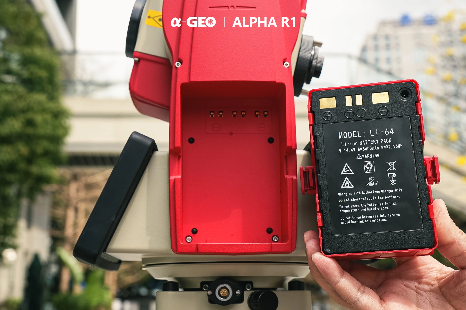
| Battery Type | Rechargeable lithium-ion battery |
|---|---|
| Battery Voltage | 14.4 V |
| Battery Capacity | 6,400 mAh |
| Typical Operating Duration | 8 hours |
Environmental Protection
| Ingress Protection | IP65 dustproof and water-resistant enclosure |
|---|---|
| Operating Temperature | -20°C to +50°C |
| Intended Environment | Indoor and outdoor surveying, construction, infrastructure and engineering environments |
Physical Specifications
| Height | 430 mm |
|---|---|
| Length | 255 mm |
| Width | 235 mm |
| Overall Dimensions | 430 × 255 × 235 mm (H × L × W) |
| Weight | 9.3 kg |
Typical Applications
| Engineering Surveying | Construction layout, control surveying, topographic measurement and general engineering surveys |
|---|---|
| Infrastructure Construction | Road, railway, bridge, tunnel and utility infrastructure projects |
| Tunnel Surveying | Underground tunnels, utility tunnels and other restricted-access environments |
| Architectural Surveying | Building plans, elevations and construction verification |
| Road Engineering | Alignment definition, road stakeout and linear-engineering measurement |
| Volume Calculation | Earthworks, stockpiles and site-volume measurement |
| Forestry Surveying | Spatial measurement and mapping in forestry environments |
| Urban Renewal | Existing-condition surveys, redevelopment measurement and urban infrastructure documentation |
| Monitoring and Automation | Automated or remotely controlled measurement workflows requiring prism recognition and tracking |
Specifications and package contents may vary by configuration, region or manufacturer update. Always check the current configuration before ordering.
FAQ
ALPHA R1 Robotic Total Station FAQ
Product Overview and Applications
What is the ALPHA R1 Robotic Total Station?
The ALPHA R1 is a professional robotic total station designed for high-precision angle and distance measurement. It combines motorized movement, automatic prism recognition, prism tracking, onboard surveying software and remote operation features to support efficient fieldwork.
Who is the ALPHA R1 designed for?
The ALPHA R1 is designed for land surveyors, civil engineers, construction layout teams, infrastructure contractors, monitoring specialists, road engineers, tunnel surveyors and other professionals who need accurate three-dimensional positioning data.
What types of surveying work can the ALPHA R1 perform?
The instrument can be used for topographic surveying, control surveys, construction setting out, road alignment work, as-built surveys, coordinate measurement, area and volume calculations, tunnel surveying, utility tunnel surveys, architectural surveys and infrastructure projects.
Can the ALPHA R1 be operated by one person?
Yes. The robotic motor, automatic prism search, automatic prism recognition and continuous tracking functions allow a single operator to control the instrument while moving with the prism pole.
Is the ALPHA R1 suitable for construction layout and stakeout?
Yes. Its robotic tracking, coordinate calculations, CAD compatibility and onboard stakeout functions make it suitable for locating design points, checking elevations, positioning structural elements and verifying completed construction work.
Can the ALPHA R1 be used for road and linear engineering projects?
Yes. The SurPro 6.0 software includes a road engineering module with alignment design, element-based calculations and support for importing multiple data formats used in highway and other linear infrastructure projects.
Measurement Accuracy and Performance
What is the angular accuracy of the ALPHA R1?
The ALPHA R1 provides 1 arc-second angular accuracy, with a minimum angle reading of 0.1 arc-second and an absolute encoding measurement system.
What is the prism distance measurement accuracy?
When measuring with a prism, the ALPHA R1 provides distance accuracy of ±(1 mm + 1 ppm), making it suitable for demanding engineering and surveying applications.
What is the maximum measurement range with a prism?
The maximum specified distance measurement range with a single prism is 3,500 metres under suitable atmospheric and visibility conditions.
Can the ALPHA R1 measure without a prism?
Yes. The reflectorless EDM can measure surfaces without a prism at distances of up to 1,000 metres, with specified non-prism accuracy of ±(3 mm + 2 ppm).
How quickly does the ALPHA R1 take measurements?
Fine prism measurements take less than 0.7 seconds, while tracking measurements take less than 0.3 seconds. Reflectorless measurement time varies according to the target distance and surface conditions.
How fast can the ALPHA R1 rotate?
The torque motor provides a maximum rotation speed of 180 degrees per second, allowing the instrument to turn, search for targets and follow prism movement efficiently.
Robotic Tracking and Field Operation
What is Automatic Prism Recognition on the ALPHA R1?
Automatic Prism Recognition, or APR, allows the total station to identify, aim at and measure a compatible prism without requiring the operator to complete every aiming adjustment manually.
What is the ALPHA R1 automatic prism recognition range?
The specified Automatic Prism Recognition working range is approximately 1.5 to 1,000 metres, depending on the prism, visibility, atmospheric conditions and surrounding environment.
How does the intelligent prism search function work?
The instrument can perform a 360-degree horizontal search for a prism within a specified working range of up to 300 metres. This helps the instrument relocate the target when prism lock has been interrupted.
Can the ALPHA R1 track a moving prism?
Yes. Continuous prism tracking allows the instrument to maintain lock on a moving target. The specified prism-lock tracking speed is up to 20 degrees per second.
Does the ALPHA R1 have obstacle-avoidance technology?
Yes. The instrument includes millimetre-wave radar for obstacle detection during robotic movement, helping improve automated operation around complex jobsites. Operators should still maintain a clear and safe working area around the instrument.
Can the ALPHA R1 be used in tunnels or areas with limited satellite reception?
Yes. Because the ALPHA R1 uses optical angle and distance measurements rather than depending on satellite signals, it can support work in tunnels, underground utility corridors, buildings and other locations where GNSS reception is limited or unavailable.
Software, Connectivity and Environmental Specifications
What software is installed on the ALPHA R1?
The ALPHA R1 uses the Android-based SurPro 6.0 surveying platform. It supports field data collection, rapid measurement, coordinate geometry calculations, stakeout, area and volume calculations, road engineering workflows and survey data processing.
Does the ALPHA R1 support CAD files?
Yes. SurPro 6.0 supports DWG and DXF compatibility, allowing survey data and design drawings to be transferred between CAD-based office workflows and field measurement operations.
What display and storage does the ALPHA R1 have?
The instrument has two 6-inch colour touchscreen displays, one on each side. It runs Android 9.0 and includes 3 GB of RAM and 32 GB of internal storage.
Which data transfer and communication interfaces are available?
The ALPHA R1 supports RS232, USB, Micro USB, Bluetooth 4.0 and dual-band Wi-Fi. These interfaces can be used to exchange project files and connect compatible field devices.
How long does the ALPHA R1 battery last?
The supplied system specification lists an operating duration of approximately eight hours using the 14.4 V, 6400 mAh lithium-ion battery. Actual runtime depends on motor use, tracking activity, display brightness, wireless communication and environmental conditions.
Is the ALPHA R1 waterproof and suitable for outdoor use?
The ALPHA R1 has an IP65 dustproof and water-resistant rating. It is designed to operate in temperatures from -20°C to +50°C, although normal surveying precautions should still be taken during severe weather.
Reviews (0)
Only logged in customers who have purchased this product may leave a review.

 GPS & GNSS
 Total Stations
 Data collectors
 Software
 Correction services
 Machine control
 External radio
 Lasers & levellers
 Marine
 Accessories
Reviews
There are no reviews yet