Greenvalley LiPowerline Software

SKU: lipowerline-sw Categories: , ,

Global GPS Systems
What Our Clients Say
4.74 store rating (536 reviews) | 4.65 product rating

Greenvalley LiPowerline Software

Point Cloud Processing Software for Power Line Inspection & Analysis

LiPowerline offers an intuitive and highly efficient solution for power line inspection from LiDAR point clouds. This
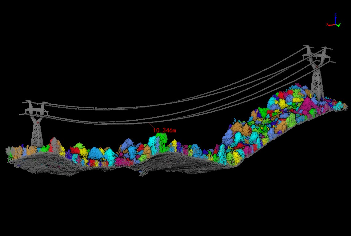
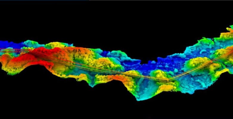
software includes powerful tools for the automatic and manual classifying of power lines, transmission towers, vegetation, buildings, and other objects of interest. The program can be used to automate the detection of user-defined danger points (e.g., vegetation encroachment and tree fall hazards). Built-in reporting functions allow users to quickly generate detailed project reports and results can be exported as KML formatted files.

Datasheets and manuals

RECOMMENDED DATA COLLECTORS:

Login to view prices

Click here to login or register
Login to view prices

Click here to login or register
Login to view prices

Click here to login or register
Login to view prices

Click here to login or register

RECOMMENDED SOFTWARE:

Login to view prices

Click here to login or register
25%
Login to view prices

Click here to login or register
Login to view prices

Click here to login or register
Login to view prices

Click here to login or register

RECOMMENDED ACCESSORIES:

Login to view prices

Click here to login or register
Login to view prices

Click here to login or register
Login to view prices

Click here to login or register

Greenvalley LiPowerline Software

SKU: lipowerline-sw Categories: , ,

Global GPS Systems
What Our Clients Say
4.74 store rating (536 reviews) | 4.65 product rating

Description

LiPowerline Product Review

LiPowerline offers an intuitive and highly efficient solution for power line inspection from LiDAR point clouds. This software includes powerful tools for the automatic and manual classifying of power lines, transmission towers, vegetation, buildings, and other objects of interest. The program can be used to automate the detection of user-defined danger points (e.g., vegetation encroachment and tree fall hazards). Built-in reporting functions allow users to quickly generate detailed project reports, and results can be exported as KML formatted files.

Real-Time Working Condifion Analysis

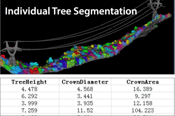
 Individual tree segmentation by span/section – Extract danger points along powerlines – Detect singular tree information such a location, height, crown size etc


Reviews (0)

Reviews

There are no reviews yet.

Only logged in customers who have purchased this product may leave a review.

RTK GNSS With 60° tilt:

GPS receivers

South Galaxy G2

GPS receivers

South INNO7

RTK GNSS Receivers

Kolida K30

GPS receivers

Carlson BRX7

GPS receivers

Stonex S990A

42%

GPS receivers

Kolida K1 Pro

GPS receivers

South Galaxy G3

GPS receivers

EFIX F7

GPS receivers

South Galaxy G7

RTK GNSS With internet:

GPS receivers

South Galaxy G2

GPS receivers

South INNO7

RTK GNSS Receivers

Kolida K30

GPS receivers

Emlid Reach RS2+

GPS receivers

Tersus Oscar

GPS receivers

EFIX F4

GPS receivers

Carlson BRX7

GPS receivers

Stonex S990A

42%

GPS receivers

Kolida K1 Pro

Select your currency