

GNSS, Total Station
Total Station Surveying vs GNSS Surveying: Understanding the Differences
Introduction
Surveying is an essential aspect of the construction industry, providing accurate measurements and data that are used to plan, design, and build various structures. Two of the most commonly used surveying methods are total station surveying and GNSS (Global Navigation Satellite System) surveying. While both methods are used to collect data and make measurements, there are several key differences between the two. In this article, we will explore the differences between total station surveying and GNSS surveying, including their respective advantages and disadvantages.
What is Total Station Surveying?
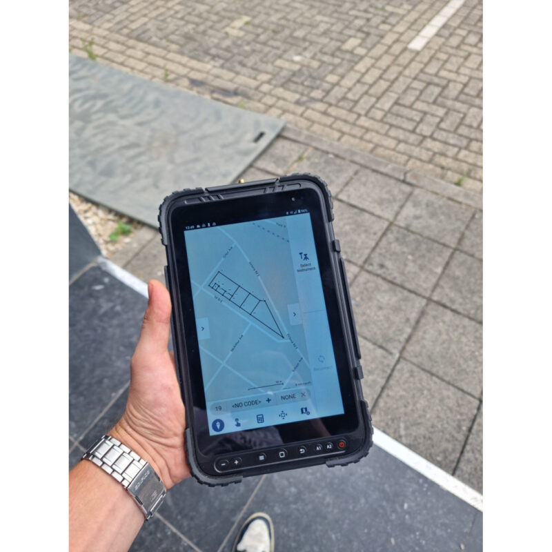
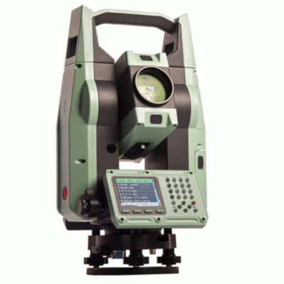
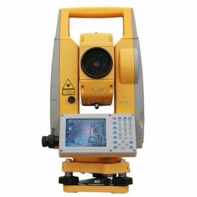
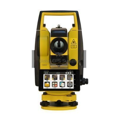
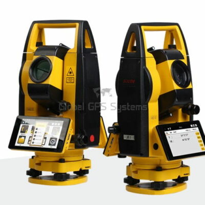
A total station is a surveying instrument that combines a theodolite, a measuring tape, and an electronic distance measuring device. A total station is used to measure angles and distances, and it is typically used in conjunction with a data collector or a computer to record and process the data.
The total station has a telescope that is used to point at a target, and it uses electronic distance measuring (EDM) technology to determine the distance to the target. The total station also has a built-in theodolite that is used to measure horizontal and vertical angles. This information is then used to calculate the coordinates of the target.
Advantages of Total Station Surveying
- High precision: Total station surveying is known for its high precision, making it ideal for projects that require very accurate measurements.
- Versatility: Total stations can be used for a variety of surveying tasks, including topographic surveys, construction layout, and as-built surveys.
- Can be used in difficult-to-access areas: Total station surveying can be done in difficult-to-access areas, such as on steep slopes or in dense forests, as long as the surveyor can see the target.
- The ability to measure both angles and distances: Total station surveying can measure both angles and distances, allowing for the calculation of coordinates for any point.
Disadvantages of Total Station Surveying
- Limited range: Total station surveying has a limited range, typically around 2,000 meters (6,561 feet).
- Limited by visibility: Total station surveying is limited by visibility, so it cannot be used in areas where the target is obscured by buildings or other obstacles.
- Cost: Total station surveying can be relatively expensive, as the equipment can be costly, and surveyors may require specialized training.
some popular total stations
Total Stations
Click here to login or register
Manual total stations
Click here to login or register
Total Stations
Click here to login or register
What is GNSS Surveying?
GNSS surveying, also known as GPS surveying, uses satellite-based positioning systems, such as GPS (Global Positioning System), GLONASS (Global Navigation Satellite System), and BeiDou (Compass), to determine the location of a point on the earth’s surface.
A GNSS receiver, typically a handheld device, is used to collect data. The receiver receives signals from satellites, and using the data from several satellites, the receiver is able to calculate the position of the point on the earth’s surface.
Advantages of GNSS Surveying
- Wide range: GNSS surveying has a wide range, and it can be used to survey large areas quickly and efficiently.
- Can be used in areas with limited visibility: GNSS surveying can be used in areas where visibility is limited, such as in dense forests or in urban areas.
- Cost-effective: GNSS surveying is relatively cost-effective, as the equipment is relatively inexpensive, and surveyors do not require specialized training.
Disadvantages of GNSS Surveying
- Limited precision: GNSS surveying is known for its limited precision, making it less suitable for projects that require very accurate measurements.
- Dependent on satellite signals: GNSS surveying is dependent on satellite signals, which can be affected by factors such as atmospheric conditions, and the presence of tall buildings or trees in the area.
- Requires a clear view of the sky: GNSS surveying requires a clear view of the sky, so it cannot be used in areas where the sky is obscured, such as in underground mines or in densely built-up areas.
some popular gnss receivers

GPS & GNSS
Click here to login or register

GPS & GNSS
Click here to login or register
In addition to the differences outlined above, there are a few other factors to consider when deciding between total station surveying and GNSS surveying.
-
Data processing: Total station surveying typically involves more data processing, as the surveyor must manually enter the data into a computer or data collector and then process the data to calculate the coordinates of the points surveyed. GNSS surveying, on the other hand, typically involves less data processing, as the data is collected and processed directly by the receiver.
-
Real-time data: Total station surveying typically requires the surveyor to take measurements, then transfer the data to a computer or data collector before processing it. GNSS surveying, on the other hand, can provide real-time data, which can be useful for construction layout and other tasks where real-time data is needed.
-
Post-processing: GNSS Surveying requires post-processing to improve the accuracy of the observations, this process can be done using software like RTKlib, Trimble Business Center, and others.
-
Equipment: Total station surveying requires specialized equipment, such as a total station and a data collector or computer. GNSS surveying, on the other hand, typically requires only a GNSS receiver, which can be relatively inexpensive.
Ultimately, both total station surveying and GNSS surveying have their own advantages and disadvantages, and the best method for a specific project will depend on the project requirements and the type of data needed. It is important to consider all of the factors outlined above when deciding between total station surveying and GNSS surveying.
Comparing Total Station Surveying and GNSS Surveying
In summary, total station surveying and GNSS surveying are two of the most commonly used surveying methods in the construction industry. While both methods are used to collect data and make measurements, there are several key differences between the two.
Total station surveying is known for its high precision and versatility, making it ideal for projects that require very accurate measurements. However, it has a limited range and is limited by visibility. On the other hand, GNSS surveying has a wide range and can be used in areas with limited visibility. However, it is known for its limited precision and is dependent on satellite signals.
In conclusion, the choice between total station surveying and GNSS surveying will depend on the specific requirements of the project and the type of data that is needed. Both methods have their own advantages and disadvantages, and it is important to choose the right method for your project.