Aplitop TcpGPS
Login to view prices
Click here to login or register

Try our GNSS guide!
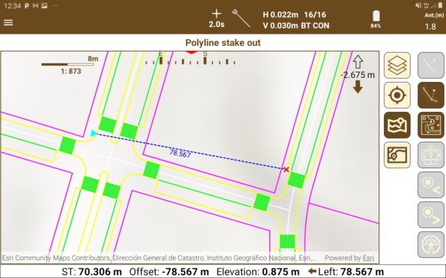
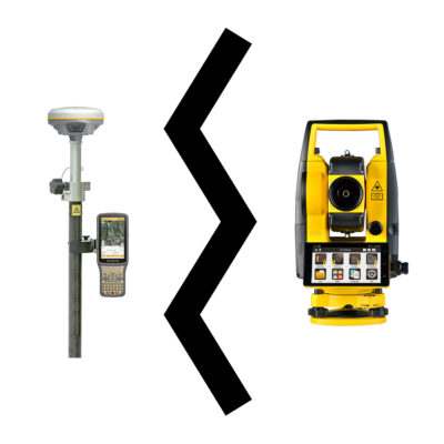
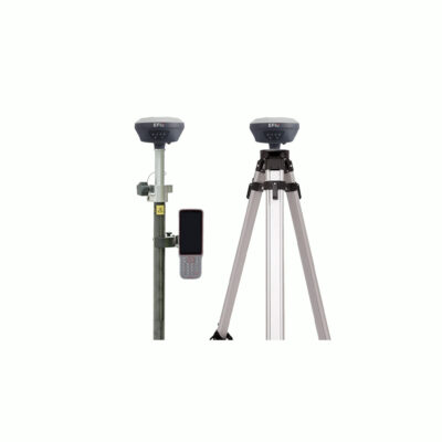
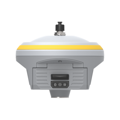
Start GNSS Quidethis applications for field work allows the user to perdform surveys and set out
Datasheets and manuals
Datasheet Windows
Datasheet AND Manual Android
Compare versions
You may also like…
Aplitop TcpGPS
Login to view prices
Click here to login or register

Try our GNSS guide!
Start GNSS Quide
Worldwide Shipping From The Netherlands

100% Shipping Insurance on Damage and Loss

Experts in Import / Export / Tax and Duties

Premium Support from Product Experts















alfredo ara (verified owner) –
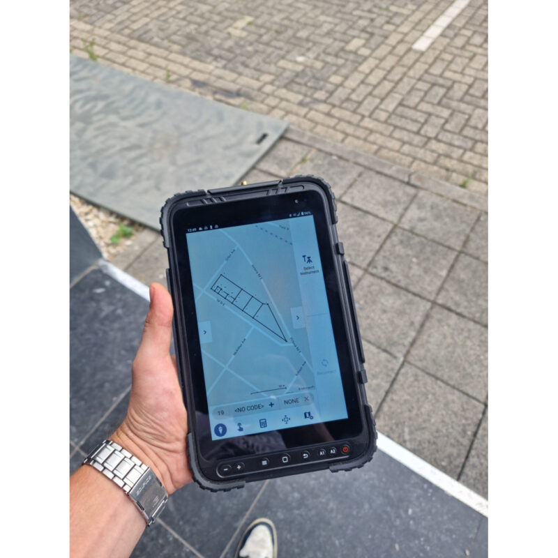
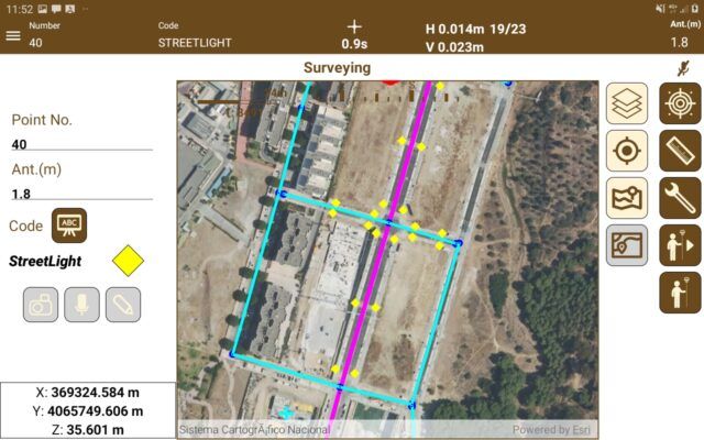
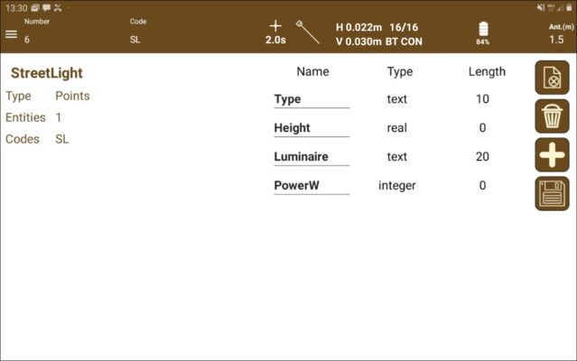
Tcp Gps is very easy to use, it supports most gps gnss receivers on the market. You have many options for data collection, as well as stakeout. very easy to enter your road in xml format. 100% recommendable.
alfredo Araujo (verified owner) –
Tcp Gps is very easy to use, it supports most gps gnss receivers on the market. You have many options for data collection, as well as stakeout. very easy to enter your road in xml format. 100% recommendable.