Stonex S980A rover base Set Review
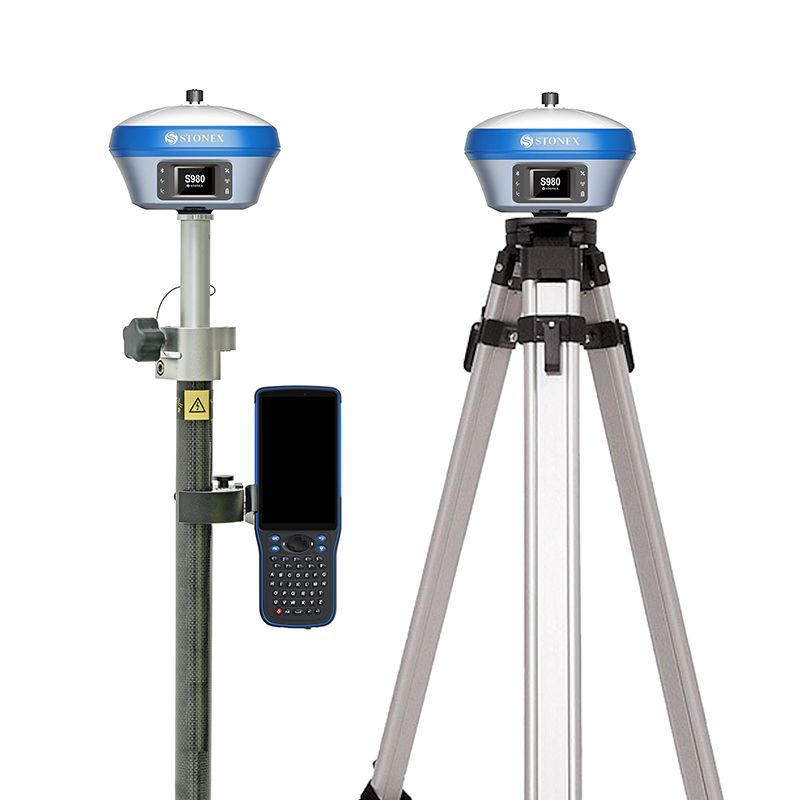
Stonex S980A RTK GNSS Receiver
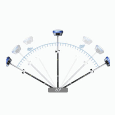
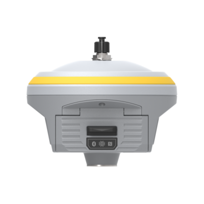
Stonex S980 RTK GNSS receiver is equipped with an 555 channel or 800 channel GNSS board in the S980A version. In combination with an RTK Subscription this receiver is capable of providing centimetre accuracy in real time. Because The Stonex S980 supports GPS, Glonass, Galileo, Beidou,IRNSS and QZSS satellite constellations it is capable of achieving this centimetre accuracy in tough conditions. Down below you can find which frequencies it supports. The Stonex S980 is IMU enabled for tilt surveying up to 60 degrees.
 Channels Channels |
800 |
 IMU Tilt Sensor IMU Tilt Sensor |
60° |
 Internet Modem Internet Modem |
4G |
 UHF Radio UHF Radio |
410 – 470MHz |
| GPS |
L1 C/A, L1C, L1P, L2C, L2P, L5 |
| GLONASS |
L1 C/A, L1P, L2 C/A, L2P, L3 |
| GALILEO |
E1, E5A, E5B, AltBOC, E6 |
| BEIDOU |
B2, B2, B3, ACEBOC |
Stonex S980A package includes:
- 1x S980 instrument unit
- 1x Power adapter with 4 plugs
- 1x Charging Cable USB type C
- 1x USB A to USB C
- 1x Measuring tape 3m (MT-300)
- 1x Carrying case for S980 (CC-980)
- 1x SW Cube-link
- 1x Pen Drive set 8Gb with Manual & Video Tutorial
Unistrong SH5A Data Collector
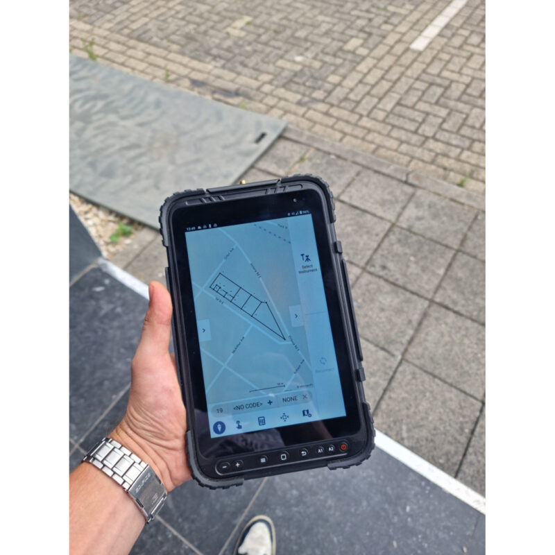
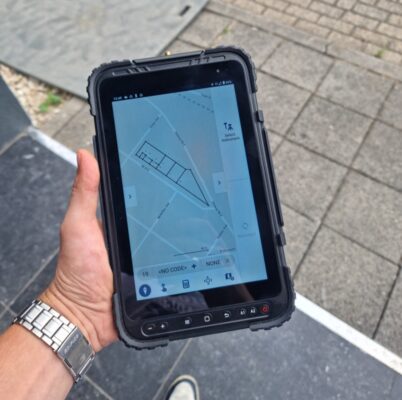
SH5A is a handy and light Android device, it is perfect in situations where you need to use the alphanumeric keyboard frequently. It is an extremely light but reinforced and protected controller, suitable for working in uncomfortable environments. Its low weight makes it perfect for applications without the use of supports or with light and minimal supports. Its perfectly visible but small screen makes it compact, comfortable and easy to use. With SH5A, you can communicate easily and get the job done!
Measure directly into your coordinate system with Stonex Cube-A
With stonex Cube-A you can Measurement and layout in your coordinate system. With its many features, stonex Cube-A is one of the most advanced software packages on the market that is, however, very user-friendly! Export your data directly from the software to the CAD or GIS package. It supports files as .DXF .CSV . TXT .SHP and many more!
GPS Survey pole
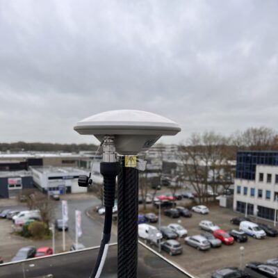
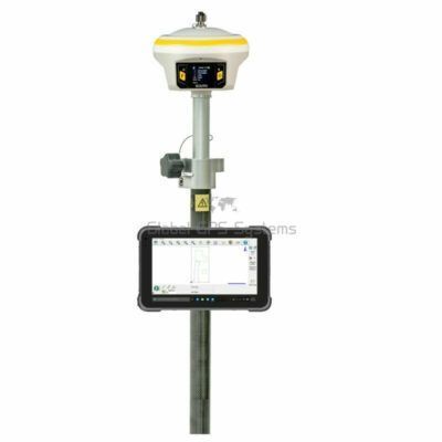
Make it easy to carry by mounting everything on a GPS Survey Pole. Recommended length is over 2 metres to minimise interference to your GNSS receiver and improve performance.
Data collector bracket
This is needed to ensure that your data collector stays firmly in place. It prevents it from being damaged unnecessarily and you don’t have to hold it in your hand all day.
Tripod
Used to set up your base receiver. The 3 legs provide great stability to prevent it from falling or moving.
Tribrach
This is used as a mounting platform for your receiver on your tripod. It also requires an adapter which you can choose in the next step.
Adapter
This is the connection between your tribrach and receiver. You can screw your receiver to the adapter and then place the adapter in your tribrach.












Reviews
There are no reviews yet.