


How Does Land Surveying Work: Understanding the Basics
Land surveying plays a crucial role in many aspects of our daily lives. It is [...]
Apr

Top 5 Best RTK GPS Receivers for Agriculture
Active users of RTK GPS equipment in the agriculture business use the equipment for several [...]
Dec

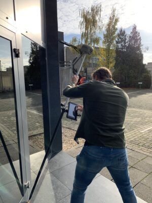
GPS help guide – Which RTK GPS receiver do I need
Where surveying with GNSS was only a job for the educated land surveyor with years [...]
Dec
GPS help guide – The basics of RTK GPS
Finding a good RTK GPS set for land surveying or any other type of stakeout [...]
Dec
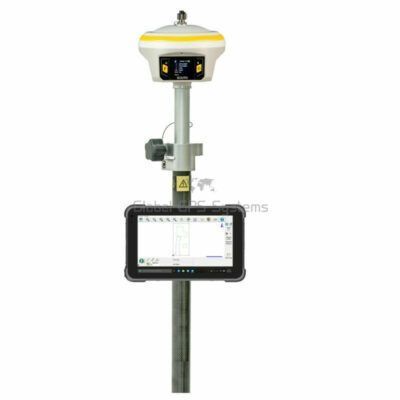
Top 5 best RTK GNSS Receivers for Land Surveying
Finding a good GPS antenna for your land surveying projects can be difficult and time [...]
Dec
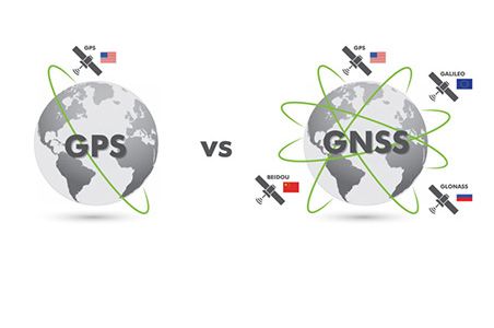
The difference between GNSS and GPS explained
Satellite navigation is a system of satellites that provide autonomous geo-spatial positioning with global coverage [...]
Nov

What is RTK and what does it stand for?
Real Time Kinematic is a technique used to increase the accuracy of GNSS (GPS, Glonass, [...]
Nov
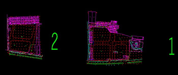
LiDAR Survey for Urban Village Reconstruction
LiDAR Survey for Urban Village Reconstruction Background Information Project Locatiion: Guangzhou, ChinaPurpuse: Provide reference for the reconstruction [...]
Sep

Tackling the challenges of Road Construction
Road construction and its challenges As new technologies emerge with the promise to increase productivity [...]
Jul
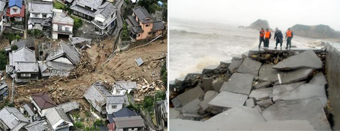
Natural disasters and how to monitor them
Considering the different monitoring project application environment, SMOS supports different links for data transmission—the wired [...]
Jul