


GPS & GNSS

GPS & GNSS

GPS & GNSS
GPS & GNSS
GPS & GNSS


GPS & GNSS
GPS & GNSS
GPS & GNSS
GPS & GNSS
GPS & GNSS
GPS & GNSS
GPS & GNSS
GPS & GNSS


GPS & GNSS

GPS & GNSS
GPS & GNSS
GPS & GNSS
RTK GNSS Receiver Systems
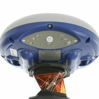
RTK GNSS receivers are professional surveying instruments used to collect accurate position data in the field. They are commonly used by land surveyors, construction companies, engineers, utility mapping teams, drone surveyors, agriculture specialists and infrastructure professionals. A modern GNSS receiver can track signals from multiple satellite constellations, including GPS, Galileo, GLONASS and BeiDou. When combined with RTK corrections from a base station, CORS network, VRS network or NTRIP correction service, the receiver can calculate positions with centimetre-level accuracy.
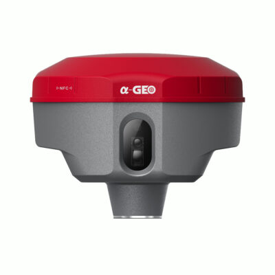
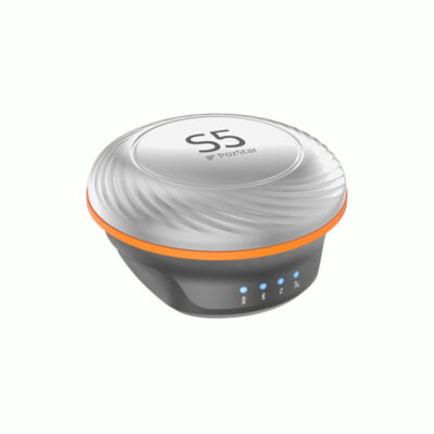
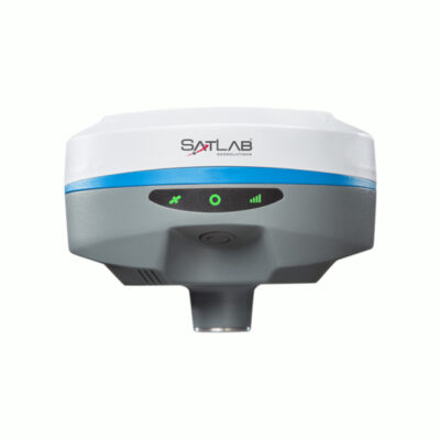
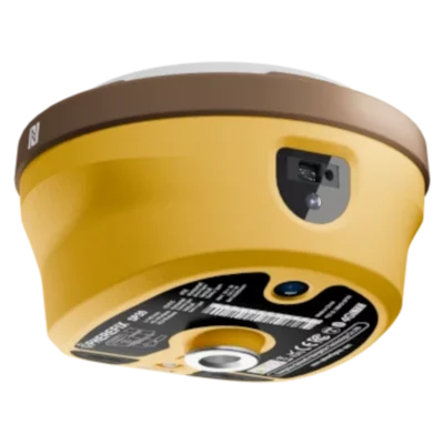
What is an RTK GNSS Receiver?
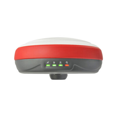
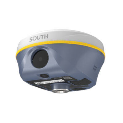
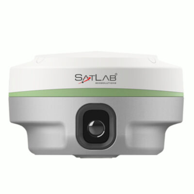
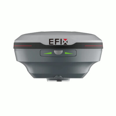
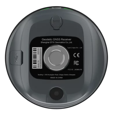
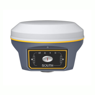
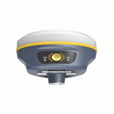
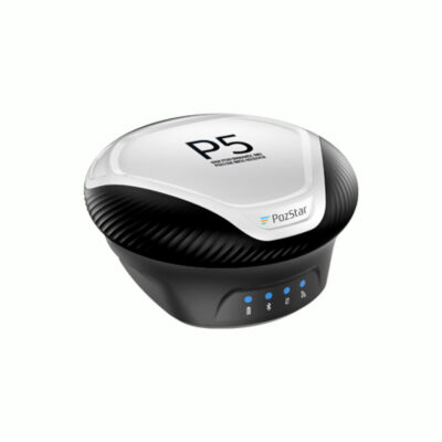
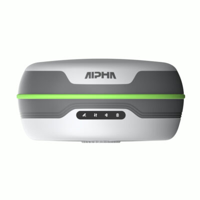
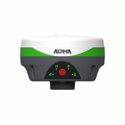
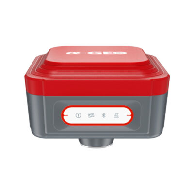
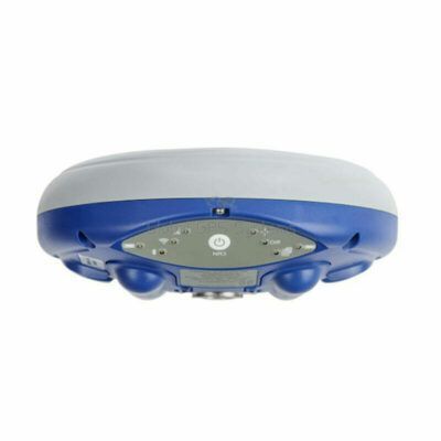
An RTK GNSS receiver is the antenna and positioning unit used to determine accurate coordinates on site. It receives satellite signals and applies real-time correction data to improve positioning accuracy. Depending on the setup, the correction data can come from a local base station, an RTK network or another correction service. RTK GNSS receivers are often used together with a data collector, field software, survey pole and accessories. They can be used as a rover, as a base station, or as part of a rover and base setup.
What are RTK GNSS Receivers Used For?
RTK GNSS receivers are used for land surveying, construction layout, topographic surveys, utility mapping, road work, earthworks, agriculture, machine control preparation and drone mapping. They are suitable for measuring boundaries, roads, terrain models, cables, pipes, drains, buildings and other infrastructure. Survey data can often be exported to formats such as DXF, SHP, CSV, TXT or LandXML, depending on the software used. This makes it possible to continue working with the data in CAD, GIS, machine control or office processing software.
GNSS Receiver, GPS Receiver or RTK Receiver?
Many people still use the term GPS receiver, but most professional systems today are GNSS receivers. GPS is one satellite system, while GNSS refers to the wider group of satellite constellations used for positioning. A GNSS receiver can use more satellites, which helps improve availability, reliability and performance in challenging locations. An RTK receiver goes one step further by using real-time correction data. This makes it possible to achieve centimetre-level accuracy instead of standard GPS accuracy.
Modern GNSS Receiver Features
Modern RTK GNSS receivers can include more than just satellite positioning. IMU tilt compensation allows you to measure points without keeping the pole perfectly level. This is useful near walls, fences, trenches, buildings and other obstacles. Some receivers include cameras or AR stake-out functions, helping the user visually find the correct point in the field. Laser GNSS receivers can measure points that are difficult or unsafe to reach directly. Advanced systems may also include LiDAR or SLAM technology for scanning, point cloud capture and hybrid GNSS workflows.
RTK Network or Base Station?
If your work area has reliable RTK network coverage, you can often use one GNSS receiver as a rover. The receiver gets correction data through the internet using NTRIP, usually via a controller, SIM card or mobile hotspot. If there is no reliable RTK network available, or if you want to work independently, you can use a rover and base setup. In this setup, one receiver is placed on a known or fixed position as the base station, while the other receiver is used as the rover.
What Determines the Price of an RTK GNSS Receiver?
The price of an RTK GNSS receiver depends on the receiver hardware, supported satellite signals, number of channels, IMU performance, radio and internet options, ruggedness, battery life, software compatibility and included accessories. Entry-level RTK receivers are suitable for standard surveying and mapping tasks. More advanced receivers may include stronger tilt compensation, camera stake-out, laser measurement, integrated radios, better performance near obstacles, or LiDAR and SLAM capabilities.
Which RTK GNSS Receiver Should I Choose?
The best GNSS receiver depends on your workflow. For standard land surveying, a reliable RTK receiver with IMU tilt compensation is often the best choice. For construction stake-out, a receiver with visual guidance or AR stake-out can save time. For hard-to-reach points, a laser GNSS receiver may be more efficient. For scanning and complex environments, a GNSS receiver with LiDAR or SLAM can be worth considering. If you are unsure which receiver fits your project, compare the RTK GNSS receivers above or contact Global GPS Systems for advice based on your country, RTK correction options, software preference and type of work.