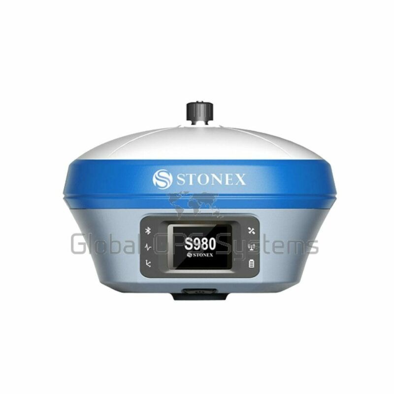
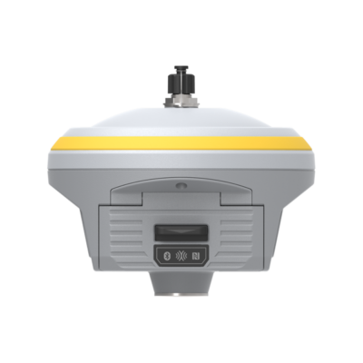
Stonex S980 integrated GNSS receiver tracks all the present constellations and satellite signals GPS, GLONASS, BEIDOU, GALILEO, QZSS and IRNSS. Through the 4G GSM modem a fast internet connection is guaranteed and the Bluetooth and Wi-Fi modules allow always reliable data flow to the controller. These features combined with the integrated 2-5 watt radio make S980 the perfect base station receiver. The color touch display and the possibility of connecting an external antenna makes S980 an extremely effective receiver for every type of job. S980 is also equipped with an E-Bubble and the optional IMU technology: fast initialisation, up to 60° inclination. S980 1PPS port can be used in applications that require precise synchronisation time to ensure that multiple instruments work together or that use the same parameters for system integration based on precise time.
S980A description
S980, through the appropriate connector, can be connected to an external GNSS antenna and is transformed from an RTK receiver to CORS. Stonex S980A integrated GNSS receiver tracks all the present constellations and satellite signals GPS, GLONASS, BEIDOU, GALILEO, QZSS and IRNSS. Through the 4G GSM modem a fast internet connection is guaranteed and the Bluetooth and Wi-Fi modules allow always reliable data flow to the controller. These features combined with the integrated 2-5 watt radio make S980A the perfect base station receiver. The color touch display and the possibility of connecting an external antenna makes S980A an extremely effective receiver for every type of job. S980A is also equipped with an E-Bubble and the optional IMU technology: fast initialisation, up to 60° inclination. S980A has a 1PPS port which can be used in applications that require precise synchronisation time to ensure that multiple instruments work together or that use the same parameters for system integration based on precise time.
What are the performances of the S980A with IMU?
• Fast initialisation
• Up to 60° inclination
• 2 cm accuracy 30°
• 5 cm accuracy 60°
• Fast and precise survey
• No problem of electromagnetic disturbances
MULTI CONSTELLATION
Stonex S980 with its 555 channels, provides an excellent on board real time navigation solution with high accuracy. All GNSS signals (GPS, GLONASS, BEIDOU, GALILEO, QZSS and IRNSS) are included, no additional cost. Stonex S980A with its 800 channels, provides an excellent on board real time navigation solution with high accuracy. All GNSS signals (GPS, GLONASS, BEIDOU, GALILEO, QZSS and IRNSS) are included, no additional cost.
2-5W RADIO
S980 has integrated 2-5W UHF radio with 410-470MHz frequency. Our receiver is equipped with an external radio antenna to work better. S980A has integrated 2-5W UHF radio with 410-470MHz frequency. Our receiver is equipped with an external radio antenna to work better.
ELECTRONIC BUBBLE + IMU
On S980 through E-Bubble it can be displayed directly on software if the pole is vertical and the point will be recorded automatically when the pole is levelled. As an optional it is also available the IMU technology, only a fast initialisation is request. On S980A through E-Bubble it can be displayed directly on software if the pole is vertical and the point will be recorded automatically when the pole is levelled. As an optional it is also available the IMU technology, only a fast initialisation is request.
COLOR TOUCH DISPLAY
S980 comes with a convenient color touch display for easy management of the most important functions. S980A comes with a convenient color touch display for easy management of the most important functions.
EXTERNAL GNSS ANTENNA
S980, through the appropriate connector, can be connected to an external GNSS antenna and is transformed from an RTK receiver to CORS. S980A, through the appropriate connector, can be connected to an external GNSS antenna and is transformed from an RTK receiver to CORS.
Stonex S980 key features
- RTK Enabled for 1-2cm accuracy. Compatible with RTK Direct
- 555 or 800 channels
- GPS, Glonass, Galileo, Beidou IRNSS and QZSS
- 4G Mobile data
- UHF radio on 410-470Mhz frequency for rover/base setup
- IMU tilt survey up to 60 degrees
- E-bubble
- Internal battery
This receiver can be used in all applications where a centimetre accurate position is needed:
- Surveying
- GIS applications
- Earthworks
- Roadworks
- Construction
- Agriculture
- Mapping
- Landfill
- Hydrographic
- UAV Base Station
Rover setup
When using this device in a rover configuration you may need the following accessories besides the receiver itself
- RTK Correction service. To achieve centimetre accuracy your receiver will need RTCM correction data so it can calculate your exact position. Without an RTK provider your receiver won’t be able achieve a 1-2 centimetre accuracy.
- Surveying software. Your receiver provides you with the coordinates you need but you still need surveying software in order to process this information. Which software you need depends on your needs. We recommend keeping it simple and don’t pay for things you don’t need. Having that said, if you do have to do complicated surveying work make sure you get the right software. Some recommended options are Apglos, Carlson, Aplitop and FieldGenius. If you need help, feel free to contact us by phone or via the chat below!
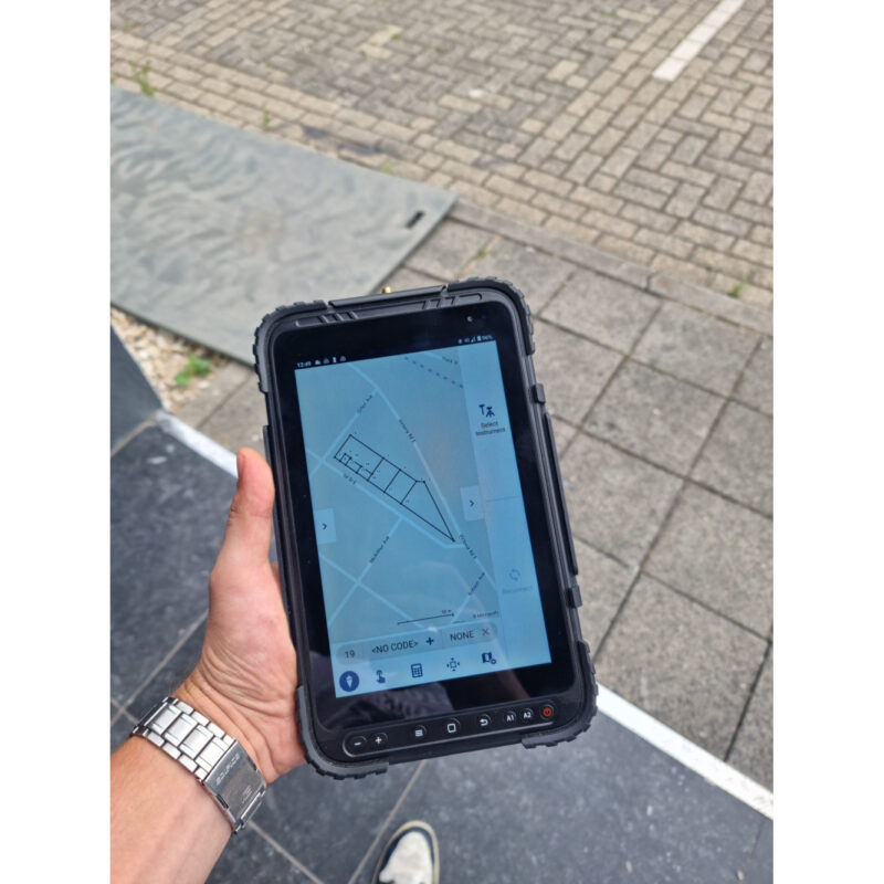
- Data collector. You might need a tablet or controller to run your software on. The type of tablet depends on which software you have choose as some are Android based and some are Windows.
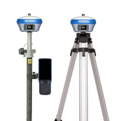
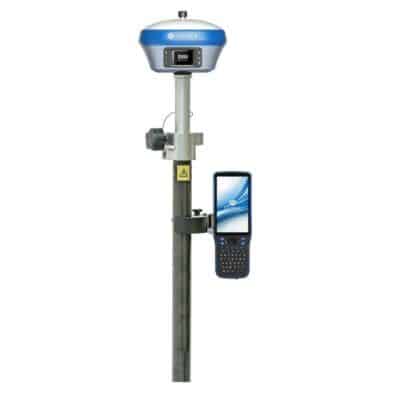
- Bracket and Holders. These are used to connect your tablet to your surveying pole so the whole set is easier to handle.
- Surveying pole. In order to get the best performance out of your receiver you want to minimise the disturbances around you and give it a clear sight to the satellites above. That why its recommended attaching your receiver on a 2 meter minimum surveying pole. These come in fixed rods and in telescopic rods.
Rover/Base setup
When you don’t have access to an RTK network you might have to setup your own base station in order to receive corrections. These are the accessories you might need besides the receiver itself:
- A second RTK GNSS receiver. preferably from the same brand. If you already have another one, then make sure they run on the same frequency.
- Surveying software. Your receiver provides you with the coordinates you need but you still need surveying software in order to process this information. Which software you need depends on your needs. We recommend keeping it simple and don’t pay for things you don’t need. Having that said, if you do have to do complicated surveying work make sure you get the right software. Some recommended options are Apglos, Carlson, Aplitop and FieldGenius. If you need help, feel free to contact us by phone or via the chat below!
- Data collector. You might need a tablet or controller to run your software on. The type of tablet depends on which software you have chosen as some are Android based and some are Windows.
- Bracket and Holders. These are used to connect your tablet to your surveying pole so the whole set is easier to handle.
- Surveying pole. In order to get the best performance out of your receiver you want to minimise the disturbances around you and give it a clear sight to the satellites above. That why its recommended attaching your receiver on a 2 meter minimum surveying pole. These come in fixed rods and in telescopic rods.
- Tripod and Tribrach. These are needed to setup your base station with the second receiver. The Tripod gives good stability so errors in sudden movements of the base station are avoided.
- External Radio. Most RTK GNSS receiver have an internal UHF radio build in. However, sometimes the power output is not strong enough to give you the workable distance you need and an external radio required. Internal radios can go up to 3 Watts that can work up to 8km. External radios can easily achieve 35 Watt outputs, thereby increasing your working range.













Reviews
There are no reviews yet.