


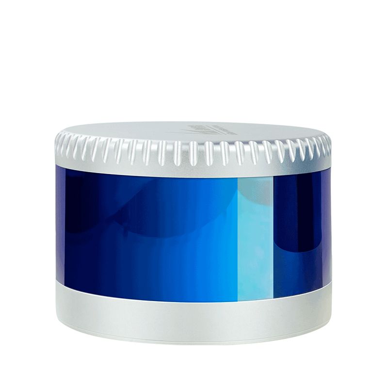


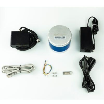
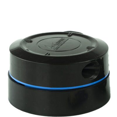
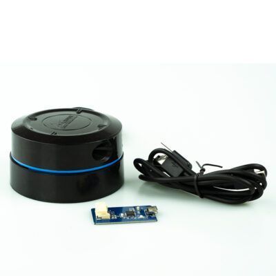
LS Lidar C series
Login to view prices
Click here to login or register

Request pricing
The LS Lidar C Series is a high-speed, high-precision Lidar Scanning System offering 360° 3D scanning, up to 200m range, and ±3cm accuracy. Compact and powerful, this advanced SLAM Lidar System delivers rich point cloud data for autonomous vehicles, robotics, smart transportation, and more.
Datasheets and manuals
You may also like…
Lidar & 3D scanning
Login to view prices
Click here to login or register
Click here to login or register
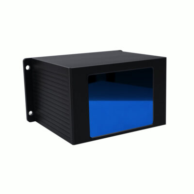
Lidar & 3D scanning
Login to view prices
Click here to login or register
Click here to login or register


LS Lidar C series
Login to view prices
Click here to login or register
Request pricing
Get a personalised quotation with detailed advise from our experts.

Try our GNSS guide!
Start GNSS Quide
Worldwide Shipping From The Netherlands
100% Shipping Insurance on Damage and Loss
Experts in Import / Export / Tax and Duties
Premium Support from Product Experts
Buyers Protection and Warranty on all Products
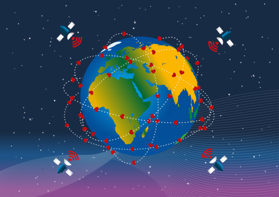
Global GPS Systems
What Our Clients Say
1_page-0009.jpg)
1_page-0009999.jpg)


Reviews
There are no reviews yet.