
 GPS & GNSS
 Lidar scanning
 Total Station
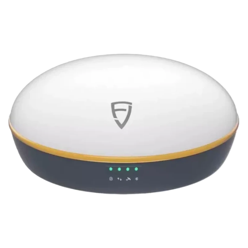
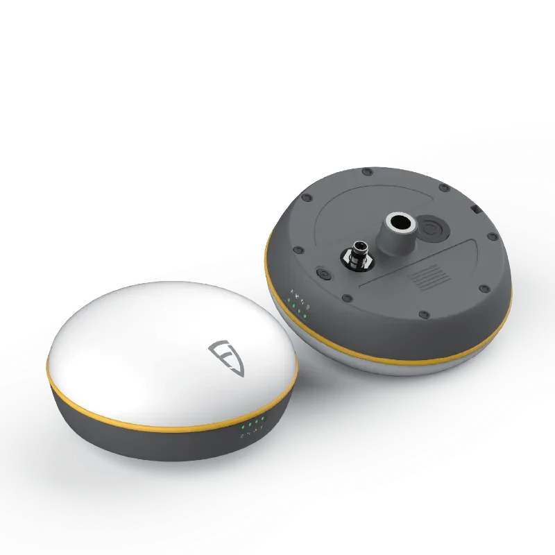


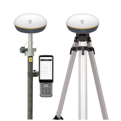











FJD Trion V1t RTK GNSS Receiver
The FJD Trion V1t is a professional RTK GNSS receiver developed for accurate point measurement, setting out and field data collection. It combines broad satellite tracking, an integrated IMU and flexible correction options in a compact receiver suitable for survey crews, construction teams, engineers and GIS professionals.
Reliable positioning for everyday fieldwork
The receiver tracks signals from GPS, GLONASS, Galileo, BeiDou, QZSS, SBAS and NavIC. Access to several constellations and frequencies gives the instrument more satellite observations to work with throughout the day. In practical terms, this helps crews maintain productive positioning when the visible sky changes around buildings, machinery, trees or other site obstructions.
When suitable RTK corrections are available, the V1t provides centimetre-level positioning for tasks such as recording survey points, checking levels, locating utilities, setting out foundations and collecting coordinates for GIS databases. RTK initialization is specified at under five seconds for baselines shorter than 10 kilometres under appropriate operating conditions.
Measure points without constantly levelling the pole
The integrated IMU supports tilt surveying, allowing the pole to be held at an angle while the receiver calculates the position of the pole tip. This is useful beside walls, underneath overhangs, near site equipment or in other places where standing the pole completely vertical is awkward.
Tilt compensation also reduces the time spent watching a pole bubble between measurements. Surveyors and construction workers can move between points more naturally while still following normal checks for correction status, solution quality and site conditions.
Flexible RTK correction workflows
The FJD Trion V1t can work with correction data from an RTK network or CORS service through a connected field controller. It can also be configured with an internal UHF radio for local base-and-rover work. Available radio options depend on the selected receiver configuration and regional frequency requirements.
Support for common correction and data formats helps the receiver fit into established field workflows. Supported formats include RTCM 2.x, RTCM 3.x, CMR and NMEA 0183, while the internal radio supports several widely used communication protocols.
Suitable applications
The V1t is designed for work where repeatable coordinates and efficient field measurement are more important than specialist imaging or laser-based features. Typical users include land surveyors, site engineers, construction crews, utility contractors, GIS teams and professionals collecting ground-control or verification points for drone mapping.
- Topographic and cadastral surveying
- Construction layout and as-built checks
- Road, bridge and infrastructure projects
- Utility and asset mapping
- GIS data collection and control-point measurement
For drone operators, the receiver can be used to measure ground-control points and checkpoints accurately. It is a GNSS survey receiver rather than a drone-mounted positioning unit, so its role is normally ground-based control, validation and site measurement.
Built for outdoor projects
The IP67-rated enclosure is designed to resist dust and temporary water exposure associated with normal outdoor surveying. The receiver operates across a wide temperature range and includes onboard storage for field data.
A 6500 mAh internal battery supports long working sessions, with manufacturer-stated rover operation of up to 20 hours when using 2 W transmit power. USB Power Delivery fast charging helps reduce downtime between projects or during vehicle-based charging.
Field software and controller compatibility
The receiver is designed to work with FJD Trion Survey software on compatible FJD field controllers and Android devices. The software supports common measurement and setting-out workflows, including point survey, line stakeout and road stakeout.
Controller choice should be matched to the way the crew works. A compact handheld controller is practical for routine stakeout and point collection, while a larger tablet can make maps, drawings and GIS information easier to review in the field.
Choosing the correct V1t configuration
The most suitable setup depends on the correction source, local radio regulations and whether the receiver will be used as a network rover or with a dedicated base station. Radio power, frequency band, controller and included accessories can vary between configurations.
Global GPS Systems can help confirm the correct regional radio version, field controller, pole equipment and correction-service setup for your workflow. This is particularly useful when replacing an existing receiver or combining the V1t with equipment that already uses a specific radio protocol.


 GPS & GNSS
 Total Stations
 Data collectors
 Software
 Correction services
 Machine control
 External radio
 Lasers & levellers
 Marine
 Accessories
Reviews
There are no reviews yet