


10%


Cubic Orb TranMap
Login to view pricing or to request a quote
Log in

Request pricing
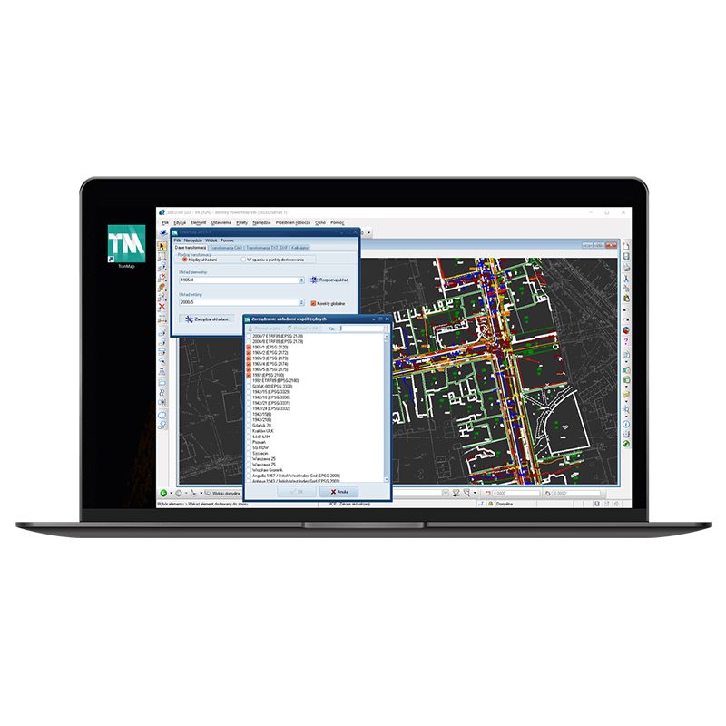
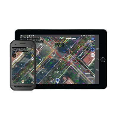
The advanced, universal land survey software from Cubic Orb. Use it to transform coordinates between different systems. TranMap allows for transformation of text and DXF files, as well as files drawn directly in CAD programs.
Why Land surveyors love TranMap?
- great versatility
- transformations are made directly to a CAD drawing which allows the user to avoid problems resulting from a map’s symbolic representation
- one tool giving many possibilities for various transformations between many different coordinate systems
- can work as an independent application
You may also like…
13%
Software
Login to view pricing or to request a quote
Log in
14%
Software
Login to view pricing or to request a quote
Log in
14%
Software
Login to view pricing or to request a quote
Log in
11%
Software
Login to view pricing or to request a quote
Log in
14%


Software
Login to view pricing or to request a quote
Log in


Cubic Orb TranMap
Login to view pricing or to request a quote
Log in
Request pricing
Get a personalised quotation with detailed advise from our experts.

Try our GNSS guide!
Start GNSS Quide
Worldwide Shipping From The Netherlands
100% Shipping Insurance on Damage and Loss
Experts in Import / Export / Tax and Duties
Premium Support from Product Experts


Reviews
There are no reviews yet.