


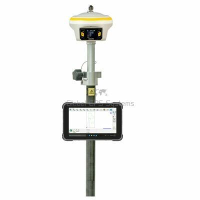
Carlson xML2
Login to view pricing or to request a quote
Log in

Request pricing
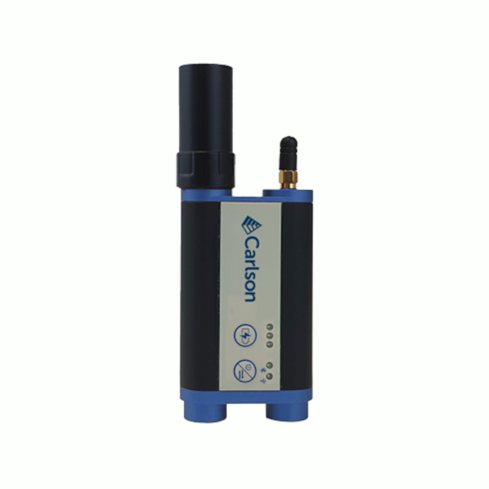
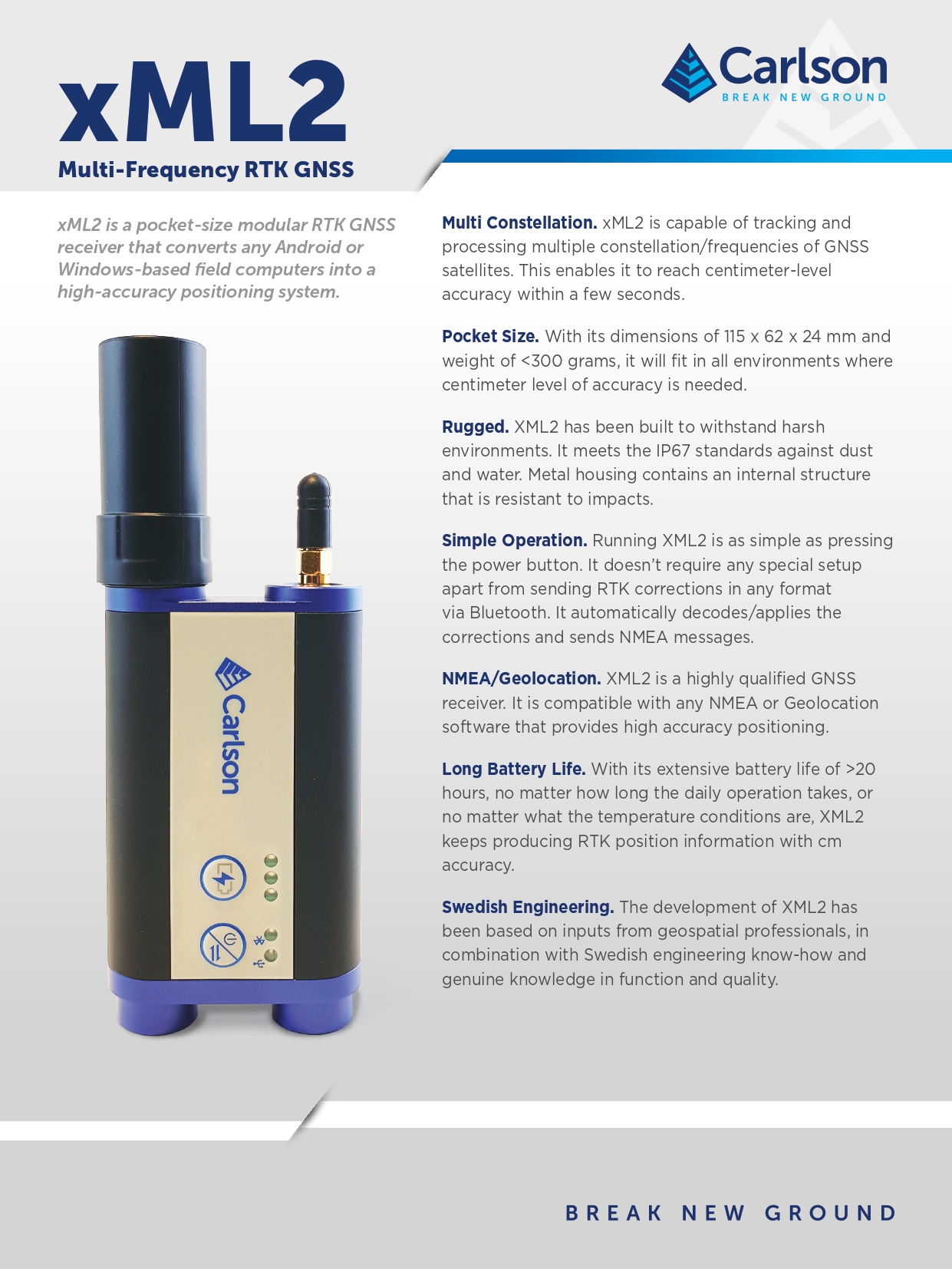
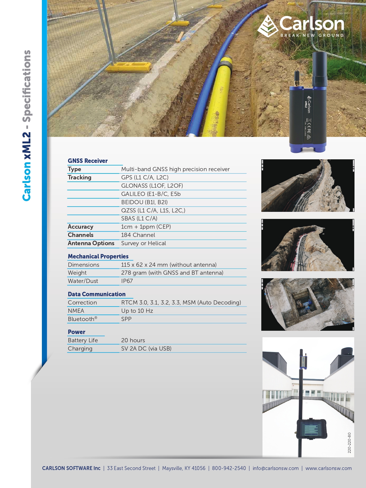
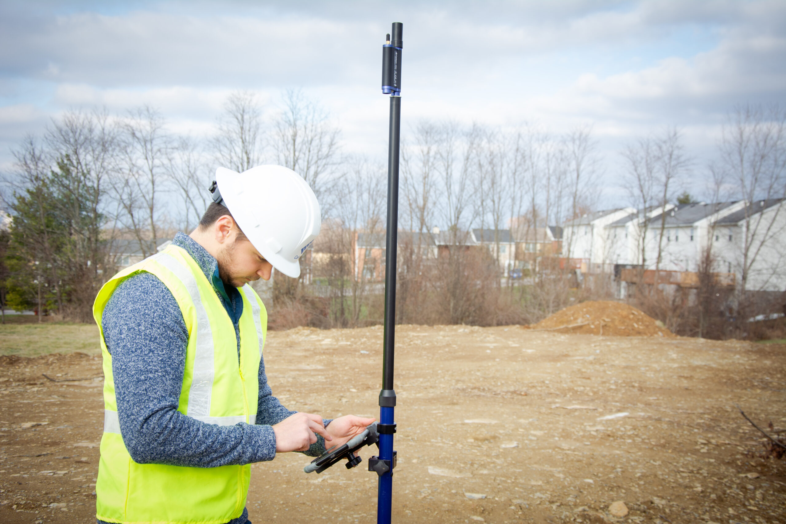
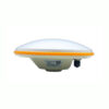
The Carlson xML2 RTK GNSS Receiver is your go-to solution for precise land surveying and construction tasks. This pocket-sized device delivers centimeter-level accuracy within seconds and excels in urban environments where drone usage is restricted. With multi-constellation capability, rugged durability, and effortless operation, the xML2 makes mapping underground utilities and capturing 3D representations of landscape features easier than ever. Designed for professionals, it integrates seamlessly with NMEA and geolocation software, ensuring high-precision positioning all day with its 20+ hour battery life.
Carlson Layout Software Included
| ✅ Channels | 184 |
| ❌ IMU Tilt Sensor | None |
| ❌ Internet Modem | None |
| ❌ UHF Radio | None |
| GPS | L1C/A, L2C |
| GLONASS | L1OF, L2OF |
| GALILEO | E1-B/C, E5b |
| BEIDOU | B1I, B2I |
Datasheets and manuals
Datasheet


Carlson xML2
Login to view pricing or to request a quote
Log in
Request pricing
Get a personalised quotation with detailed advise from our experts.

Try our GNSS guide!
Start GNSS Quide
Worldwide Shipping From The Netherlands
100% Shipping Insurance on Damage and Loss
Experts in Import / Export / Tax and Duties
Premium Support from Product Experts


Reviews
There are no reviews yet.