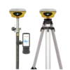
South ALPS2 Rover set Product Review
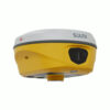
The South ALPS2 Receiver
The South ALPS2 is a cutting-edge GNSS receiver for land surveying, equipped with laser measurement, IMU tilt compensation, and camera vision technology. Capture hard-to-reach or dangerous points from a safe distance, stake out with CAD precision, and work efficiently in any environment—day, night, indoors, or outdoors.
| ✅ Channels |
1698 |
| ✅ IMU Tilt Sensor |
60° |
| ✅ Internet Modem |
4G |
| ✅ UHF Radio |
410 – 470MHz |
| GPS |
L1C, L1C/A, L2C, L2P(Y), L5 |
| GLONASS |
G1, G2, G3 |
| GALILEO |
E1, E5a, E5b, E6 |
| BEIDOU |
B1I, B2I, B3I, B1C, B2a, B2b |
Discover the Power of Precision with the South ALPS2 Rover Set
The South ALPS2 rover set is not just another GNSS receiver—it’s a revolutionary leap forward in land surveying technology. Engineered for professionals who demand accuracy, speed, and safety, this GNSS rover set for land surveying delivers results even in the most challenging environments. Whether you’re working on a busy construction site or mapping out remote terrain, the South ALPS2 GNSS rover set gets the job done with confidence and precision.

Say Goodbye to Surveying Challenges
Surveying in tight, risky, or obstructed areas is a common pain point for field crews. Traditional RTK GNSS systems fall short when dealing with blind spots or dangerous locations. That’s where the South ALPS2 rover set stands out. With laser measurement, camera-assisted stakeouts, and IMU tilt compensation, you can capture hard-to-reach or hazardous points with complete safety and unprecedented ease.
Key Features That Redefine Workflows
Laser Measurement
Measure areas that were previously impossible to reach with a traditional GPS setup. Perfect for situations where safety is paramount and access is limited.
IMU Tilt Compensation
Level your rod without physically adjusting it. The GPS set with IMU tilt sensor simplifies workflows and eliminates the need for perfect vertical positioning. This IMU tilt compensation feature dramatically reduces field time and fatigue.

Camera-Assisted Stakeouts
Gain real-time visual context and pinpoint accuracy. Stake out with confidence using CAD-level precision, even in visually complex environments.
Day or Night, Indoors or Out
From underground tunnels to sunlit highways, this GNSS set for construction is built to perform. Its robust design is ideal for use in harsh, unpredictable, and even hazardous locations. Whether you’re looking for a GPS set for construction or a versatile land surveying set, the ALPS2 has you covered.

Why Choose the South ALPS2 GNSS Rover Set?
- Efficiency: Eliminate rework with accurate first-time results.
- Safety: Reduce time spent in hazardous or hard-to-reach areas.
- Precision: High-end GNSS with IMU and laser integration for the most demanding jobs.
Included Accessories
The South ALPS2 rover set comes with essential accessories to maximize your productivity:
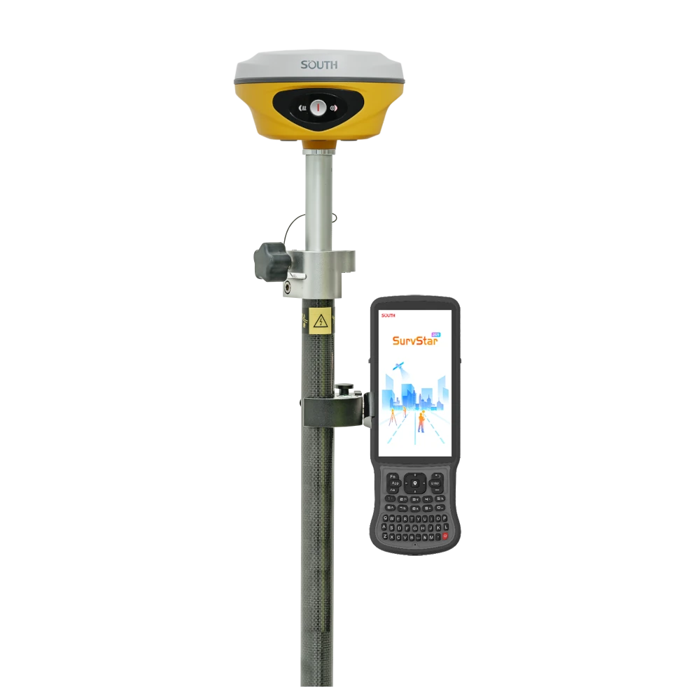
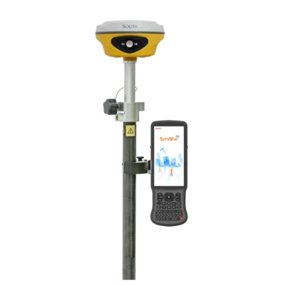
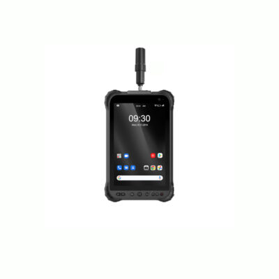
- South H9 Data Collector: The South H9 is a powerful, user-friendly device that streamlines data collection and integration with the South ALPS2.
- SurvStar Software: The SurvStar software is a intuitive and efficient software designed for seamless operation and data management.
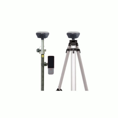
- Telescopic Pole and Controller Bracket: Built for stability and flexibility, these accessories enhance your setup and are perfect for various environments.
While these accessories provide an all-in-one solution, they can be customized to fit your specific needs. Swap out the telescopic pole, controller bracket, or other components with compatible accessories to tailor the set to your projects.


Reviews
There are no reviews yet.