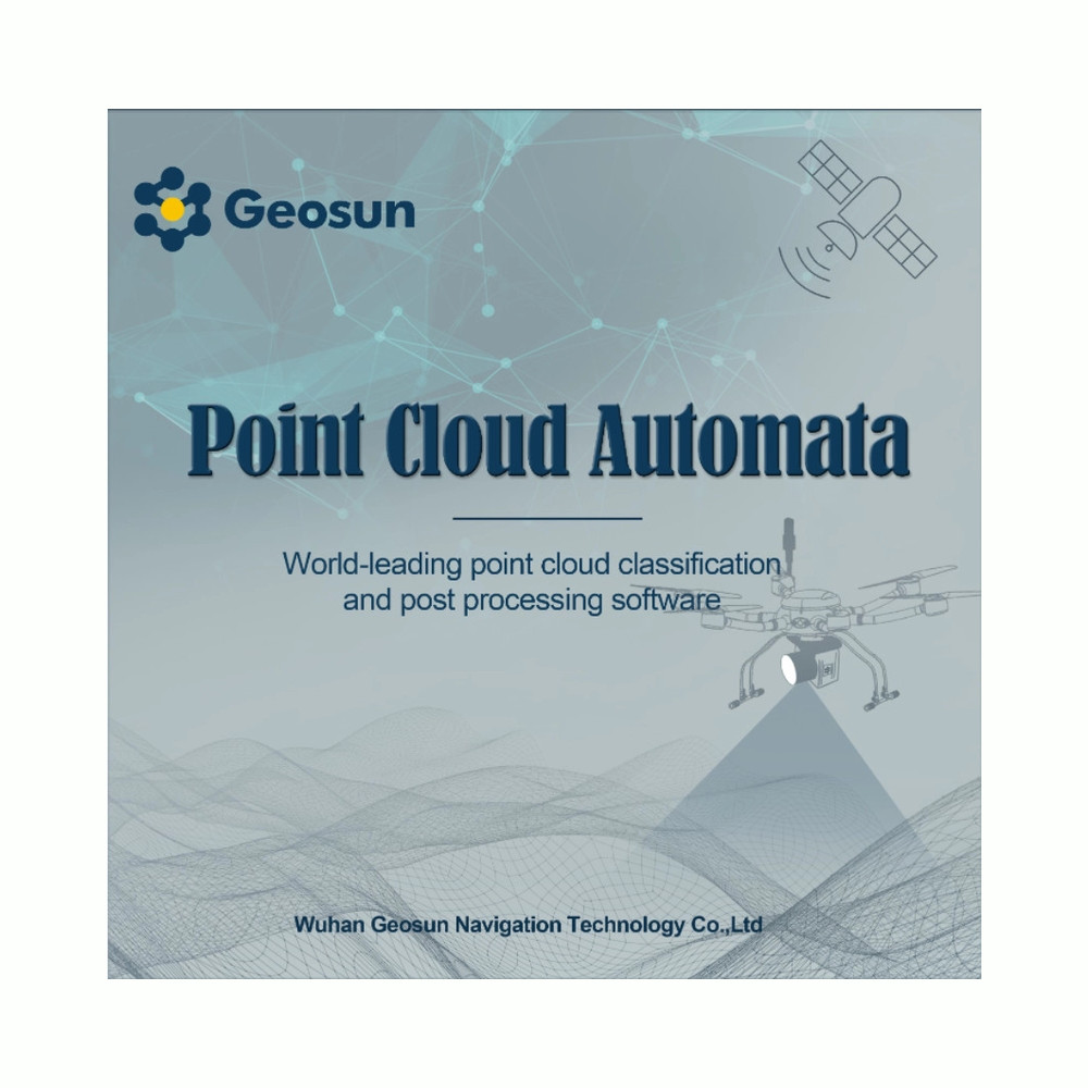
Geosun Point Cloud Automata (PCA) Post-Processing Software

This product is Available

Contact our experts for the best possible price and configuration.

🎁
Limited-time offer Free 1-year RTK license included with every LiDAR or GNSS purchase.

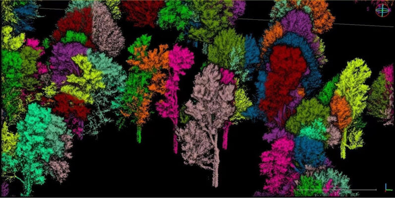
The PCA post-processing software specializes in LiDAR Point Cloud Processing, Analysis, and Application, offering a streamlined ONE-STEP solution. Originally designed for Geosun point cloud data, it excels in automated tasks such as filtering, classification, and single tree segmentation. Comprising PCA Toolbox for automatic data processing and PCA Viewer for visualization, it stands out for its high-density data handling, precise location accuracy, vegetation penetration, RGB integration, strip adjustment, outlier removal, and single tree segmentation.

Why choose Global GPS Systems?
European support & worldwide delivery
Worldwide shipping from the Netherlands
100% insured shipping against loss or damage
Import, export, tax and duties support
Expert support from product specialists
Buyer protection and warranty included
Speak with a specialist +31 035 205 7939
Global GPS Systems
Independently verified
4.73 store rating (575 reviews) | 4.68 product rating

Valued customers: 

Find RTK Networks

Search NTRIP providers and connect to reliable RTK correction services.

Search providers
Description

What capabilities does the PCA post-processing software offer?

Specializing in LiDAR Point Cloud Processing, Analysis, and Application, it stands as a premier ONE-STEP solution, boasting straightforward operation.

Originally tailored for Geosun point cloud data, PCA excels in automated processes including filtering, classification, and single tree segmentation. Users experience minimal need for manual intervention, thanks to its seamless functionality. PCA comprises two components: PCA Toolbox and PCA Viewer.

The PCA Toolbox exclusively handles automatic data processing, while the PCA Viewer primarily focuses on data visualization.

Key features encompass:

  • Exceptionally high density
  • Handling of large datasets
  • Accurate spatial positioning
  • Capability to penetrate vegetation
  • Integration of RGB and point cloud data
  • Conducting strip adjustment
  • Elimination of outliers
  • Single tree segmentation and pertinent information extraction

Datasheets & Manuals
Reviews (0)

Reviews

There are no reviews yet

Only logged in customers who have purchased this product may leave a review.

This product is Available

Contact our experts for the best possible price and configuration.

Why choose Global GPS Systems?
European support & worldwide delivery
Worldwide shipping from the Netherlands
100% insured shipping against loss or damage
Import, export, tax and duties support
Expert support from product specialists
Buyer protection and warranty included
Speak with a specialist +31 035 205 7939
Global GPS Systems
Independently verified
4.73 store rating (575 reviews) | 4.68 product rating
Visa
MasterCard
American Express
IDeal
Invoice
Bancontact
Bank Transfer
Belfius
Eps
Klarna
Independently verified
575 reviews