


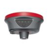
a-Geo RTK L2 Plus
Login to view pricing or to request a quote
Log in

Request pricing
Limited time offer! 1 year free RTK license with every Lidar or GNSS purchase!
Get a personalised quotation with detailed advise from our experts.

Find RTK Networks
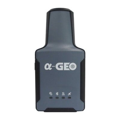
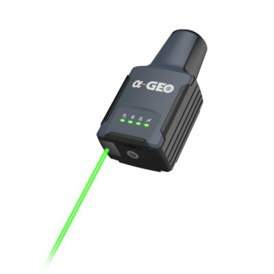
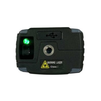
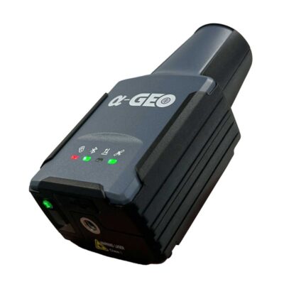
Search NTRIP ProvidersUltra-Compact and Portable Design for Ultimate productivity
The a-Geo RTK L2 is the smallest handheld laser RTK receiver designed for high-precision GNSS surveying. With its ultra-compact body, integrated laser measurement, and powerful 1408-channel GNSS engine, it delivers centimeter-level accuracy for even the most challenging measurement scenarios.
| ✅ Channels | 1408 |
| ✅ IMU Tilt Sensor | 120º |
| ❌ Internet Modem | None |
| ❌ UHF Radio | None |
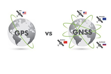
| GPS | L1C/A, L2C, L2P, L5 |
| GLONASS | L1, L2 |
| GALILEO | E1, E5a, E5b,E6 |
| BEIDOU | B1, B1C, B2, B2a, B2b, B3 |
Datasheets and manuals
Datasheet


Valued customers:


a-Geo RTK L2 Plus
Login to view pricing or to request a quote
Log in
Request pricing
Limited time offer! 1 year free RTK license with every Lidar or GNSS purchase!
Get a personalised quotation with detailed advise from our experts.

Worldwide Shipping From The Netherlands
100% Shipping Insurance on Damage and Loss
Experts in Import / Export / Tax and Duties
Premium Support from Product Experts


Reviews
There are no reviews yet.