


a-Geo L100 PRO
a-Geo L100 PRO
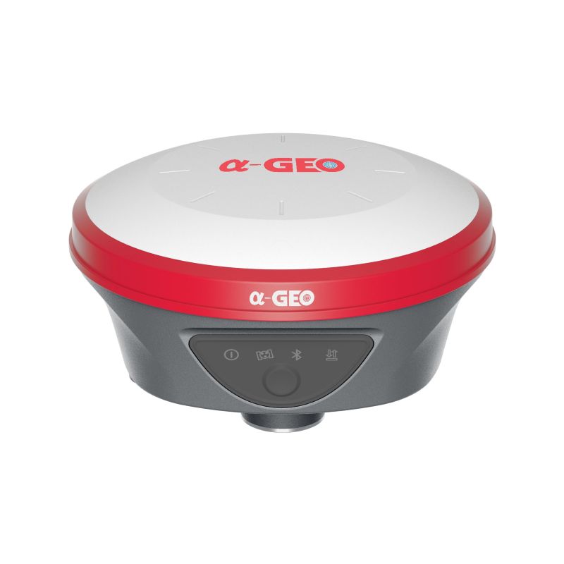
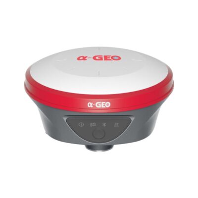
The a-Geo L100 PRO is a compact, next-generation smart GNSS receiver built to deliver reliable performance across a wide range of surveying projects. Equipped with 1408 tracking channels, the L100 PRO supports advanced GNSS features, ensuring high accuracy in both Network RTK, Static, and PPK modes. With integrated technologies such as Bluetooth connectivity, an IMU tilt sensor, and a 7000mAh lithium-ion internal battery, it combines power and efficiency in a lightweight design. Offering outstanding value and versatility, the L100 PRO is the most cost-effective GNSS package for professionals who demand precision and reliability in the field.
| ✅ Channels | 1408 |
| ✅ IMU Tilt Sensor | 120º |
| ✅ Internet Modem | 4G |
| ✅ UHF Radio | 410 – 470MHz |
| GPS | L 1 C/A, L2C, L2P, L5 |
| GLONASS | L1, L2, L3 |
| GALILEO | E1, E5a, E5b,E6 |
| BEIDOU | B1l, B2l, B3l, B1C, B2a, B2b |


Valued customers:


Find RTK Networks
Search NTRIP providers and connect to reliable RTK correction services.
Description
a-Geo L100 PRO Product Review
Key Features of the a-Geo L100 PRO
Multi-Constellation GNSS Tracking
With its 1408-channel new generation GNSS chipset, the a-Geo L100 PRO supports all major satellite constellations, including GPS, GLONASS, BeiDou, Galileo, QZSS, SBAS, and IRNSS. This ensures precise, reliable, and globally accessible spatial data for surveyors in any location.
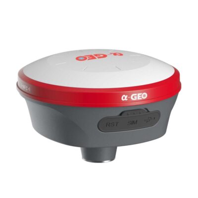
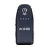
Wi-Fi Hotspot & WebUI Access
The L100 PRO functions as a Wi-Fi hotspot, allowing users to easily access device status, configure settings, or download static and PPK raw data through an advanced WebUI. This can be done directly from a computer, smartphone, or tablet—no cables or third-party software required.
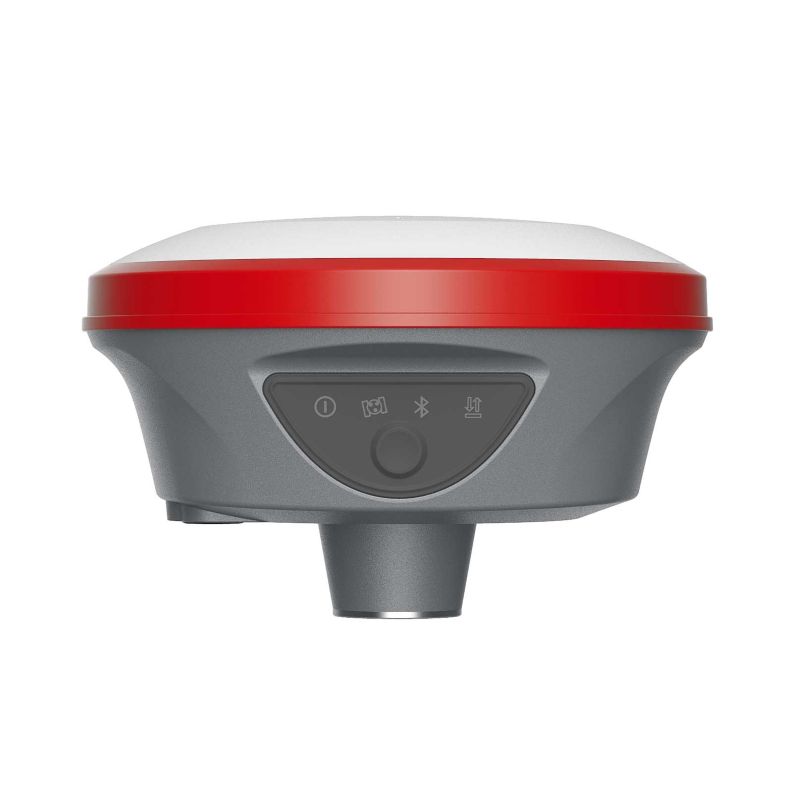
IMU Tilt Sensor Technology
The integrated Inertial Measurement Unit (IMU) offers fast initialization, calibration-free operation, and resistance to magnetic interference. Surveyors can confidently collect or stakeout topo points at angles up to 120°, improving productivity in the field.
GSM & UHF Radio Communication
Equipped with a built-in 4G module, the L100 PRO guarantees fast internet connectivity for receiving correction data across all telecommunication signals and bands. Additionally, its integrated Tx/Rx UHF radio (410–470 MHz) supports a range of up to 15 km, enabling accurate real-time data collection in Base/Rover mode.
Long-Lasting Battery & Power Management
Powered by a 7000mAh high-capacity lithium-ion battery, the a-Geo L100 PRO supports over 12 hours of continuous field work. With USB Type-C fast charging, surveyors can quickly recharge and stay productive throughout the day.
Flexible Working Modes
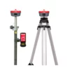
Every surveying project requires flexibility. The a-Geo L100 PRO supports multiple working modes—including Static, Network RTK, UHF RTK, and PPK—ensuring the device adapts to varying accuracy requirements and project conditions.
Datasheets & Manuals
Datasheets and manuals
Datasheet
Reviews (0)
Only logged in customers who have purchased this product may leave a review.
Reviews
There are no reviews yet