
 GPS & GNSS
 Lidar scanning
 Total Station
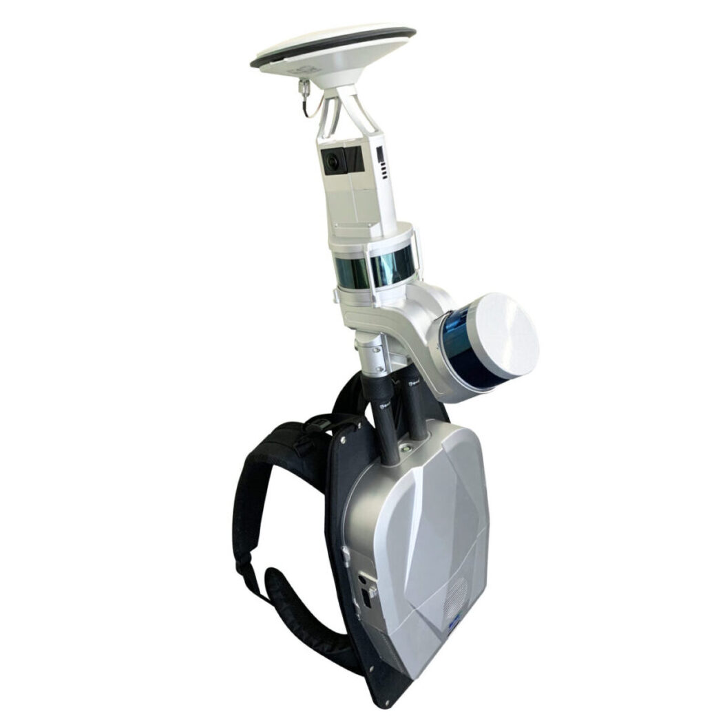
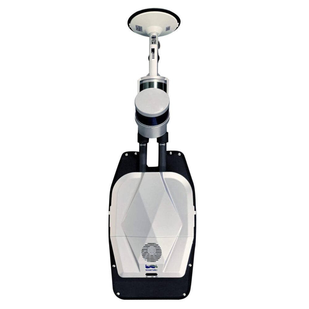
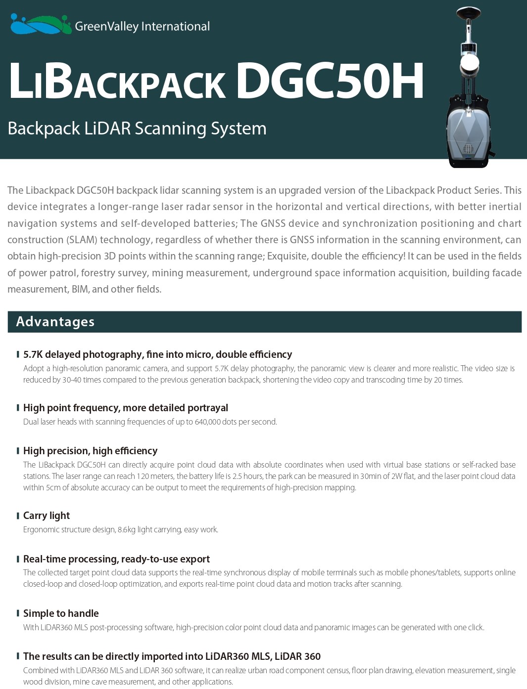
Greenvalley LiBackpack DGC50
This product is Available
Contact our experts for the best possible price and configuration.
The Greenvalley LiBackpack DGC50 is a compact Lidar Scanning System featuring dual laser heads, SLAM technology, and panoramic imaging. Capture high-precision point cloud data fast and view results in real time. Perfect for forestry, construction, and more—no GNSS required.
You may also like…
Lidar & 3D scanning
Valued customers:










Find RTK Networks
Search NTRIP providers and connect to reliable RTK correction services.
Description
Greenvalley LiBackpack DGC50: Revolutionize 3D Mapping
The Greenvalley LiBackpack DGC50 is a compact, high-performance SLAM Lidar System for fast, accurate, mobile 3D scanning. Upgraded with dual laser heads, panoramic imaging, and SLAM technology, it delivers precise point cloud data in any setting—indoors, outdoors, or underground.

Eliminate Mapping Limits
This backpack Lidar Scanner works without GNSS, making it ideal for challenging environments. It achieves centimeter-level accuracy using SLAM, simplifying surveys in areas where GPS signals can’t reach.
Fast & Accurate Scanning
The DGC50 delivers powerful performance across a wide range of environments. Here’s how it ensures fast and accurate scanning:
- High-Speed Capture: Dual lasers collect up to 640,000 points per second.
- Long Range: Measures distances up to 120 meters.
- Precision Mapping: Achieves accuracy within 5 cm.
- Efficient Coverage: Maps a 2-hectare park in just 30 minutes.
- Adaptable Scanning: Performs well in both open and confined areas.
Clear Imaging & Quick Processing
The 5.7K panoramic camera creates ultra-clear visuals while reducing video size by up to 40x. Data transfers and processing are up to 20x faster than before.
Real-Time Mobile Monitoring
View point cloud data and motion paths live on mobile devices with the Greenvalley LiBackpack DGC50. Built-in closed-loop optimization ensures complete, high-quality scans.
Broad Use Across Industries
Whether in forestry, mining, construction, or BIM, the SLAM Lidar system offers easy, accurate, and portable scanning for any project.
Key Benefits of the Greenvalley LiBackpack DGC50
- No GNSS Needed: Scan freely with SLAM.
- High Accuracy: Within 5 cm.
- Efficient Capture: 640,000 points/sec.
- Mobile Design: Lightweight backpack.
- Live Results: Instant data on mobile.
- Versatile: For all mapping sectors.
Datasheets & Manuals
Datasheets and manuals
Reviews (0)
Only logged in customers who have purchased this product may leave a review.
 GPS & GNSS
 Total Stations
 Data collectors
 Software
 Correction services
 Machine control
 External radio
 Lasers & levellers
 Marine
 Accessories
Reviews
There are no reviews yet