M8 Rover set Product Review
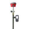
The M8 RTK GNSS Receiver
KQ-geo M8 RTK GNSS receiver is equipped with a 220 channel Trimble BD970 GNSS board. In combination with an RTK Subscription this receiver is capable of providing centimetre accuracy in real time. Because the M8 supports GPS, Glonass, Galileo, Beidou and SBAS satellite constellations it is capable of achieving this centimetre accuracy in tough conditions. Down below you can find which frequencies it supports. It supports Russian and other 16 languages. Intelligent LINUX system. Dual batteries design: applicable for battery replacement without poweroff. Supporting multiple data storage: applicable for storing data in built-in NANDFLASH & built-in MicroSD & plug-in U disk. Various communication methods such as built-in receive-and-send-integrated radio & 3G/GPR & bluetooth etc. Supporting both network and radio transmission.
 Channels Channels |
220 |
 IMU Tilt Sensor IMU Tilt Sensor |
None |
| Internet Modem |
None |
| UHF Radio |
410 – 470MHz |
| GPS |
L1 C/A, L2E, L2C, L5 |
| GLONASS |
L1C/A, L1P, L2C/A, L2P |
| GALILEO |
L1BOC, E5A, E5B, E5AltBOCi |
| BEIDOU |
B1, B2 |
Measure directly into your coordinate system with the FieldGenius Software
With field genius you can Measurement and layout in your coordinate system. With its many features, FieldGenius is one of the most advanced software packages on the market that is, however, very user-friendly! Export your data directly from the software to the CAD or GIS package. It supports files as .DXF .CSV . TXT .SHP and many more!
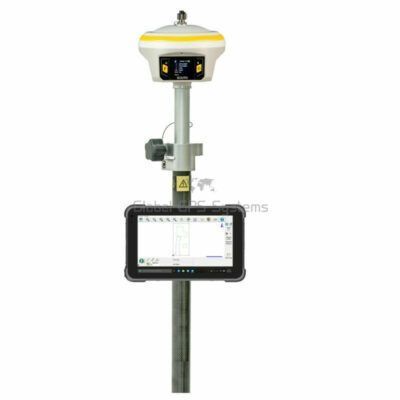
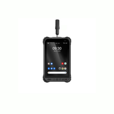
K9D Data collector
The thunder K9 industrial handheld, integrated a dedicated GNSS receiver card, a combination of connectivity options and standard features, including DB9 series port, LRBT, NFC, WI-FI and 3G, provides complete solutions for high accuracy GIS applications. The fully rugged IP rate is designed for use in the field. The Thunder industrial K9 handheld comes ready for you with application possibilities in energy companies, agriculture and geological industry, forestry, field service and GIS/surveying.
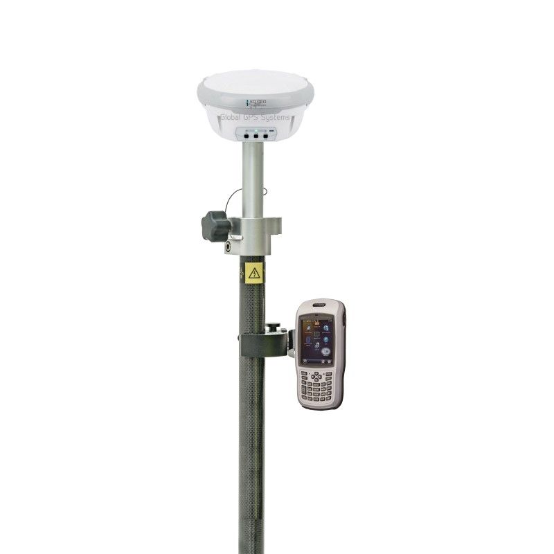
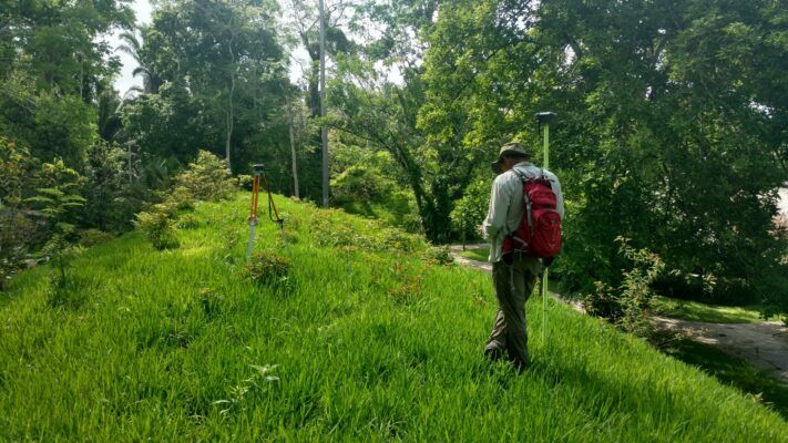
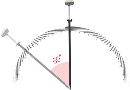
GPS Survey pole
Make it easy to carry by mounting everything on a GPS Survey Pole. Recommended length is over 2 metres to minimise interference to your GNSS receiver and improve performance.
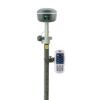
Data collector bracket
This is needed to ensure that your data collector stays firmly in place. It prevents it from being damaged unnecessarily and you don’t have to hold it in your hand all day.


Reviews
There are no reviews yet.