


Greenvalley LiSurvey
Login to view pricing or to request a quote
Log in

Request pricing

Find RTK Networks
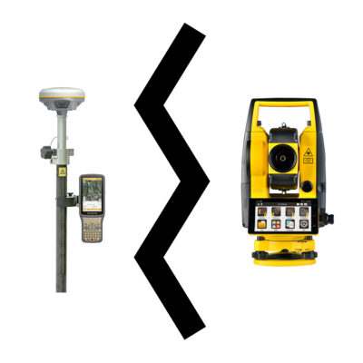
Search NTRIP ProvidersGreenvalley LiSurvey Software is an all-in-one land surveying field software that ensures accurate and efficient surveying. This Android surveying software integrates with Greenvalley’s RTK GNSS receiver, LiBase, providing real-time data collection and high-precision measurements. Whether for data collecting or construction fieldwork, it enhances productivity and precision for professionals in the field.
Datasheets and manuals
Datasheet


Greenvalley LiSurvey
Login to view pricing or to request a quote
Log in
Request pricing
Get a personalised quotation with detailed advise from our experts.

Try our GNSS guide!
Start GNSS Quide
Worldwide Shipping From The Netherlands
100% Shipping Insurance on Damage and Loss
Experts in Import / Export / Tax and Duties
Premium Support from Product Experts


Reviews
There are no reviews yet.