EFIX F6 Product Review
EFIX F6: Revolutionizing Land Surveying with Advanced GNSS Technology
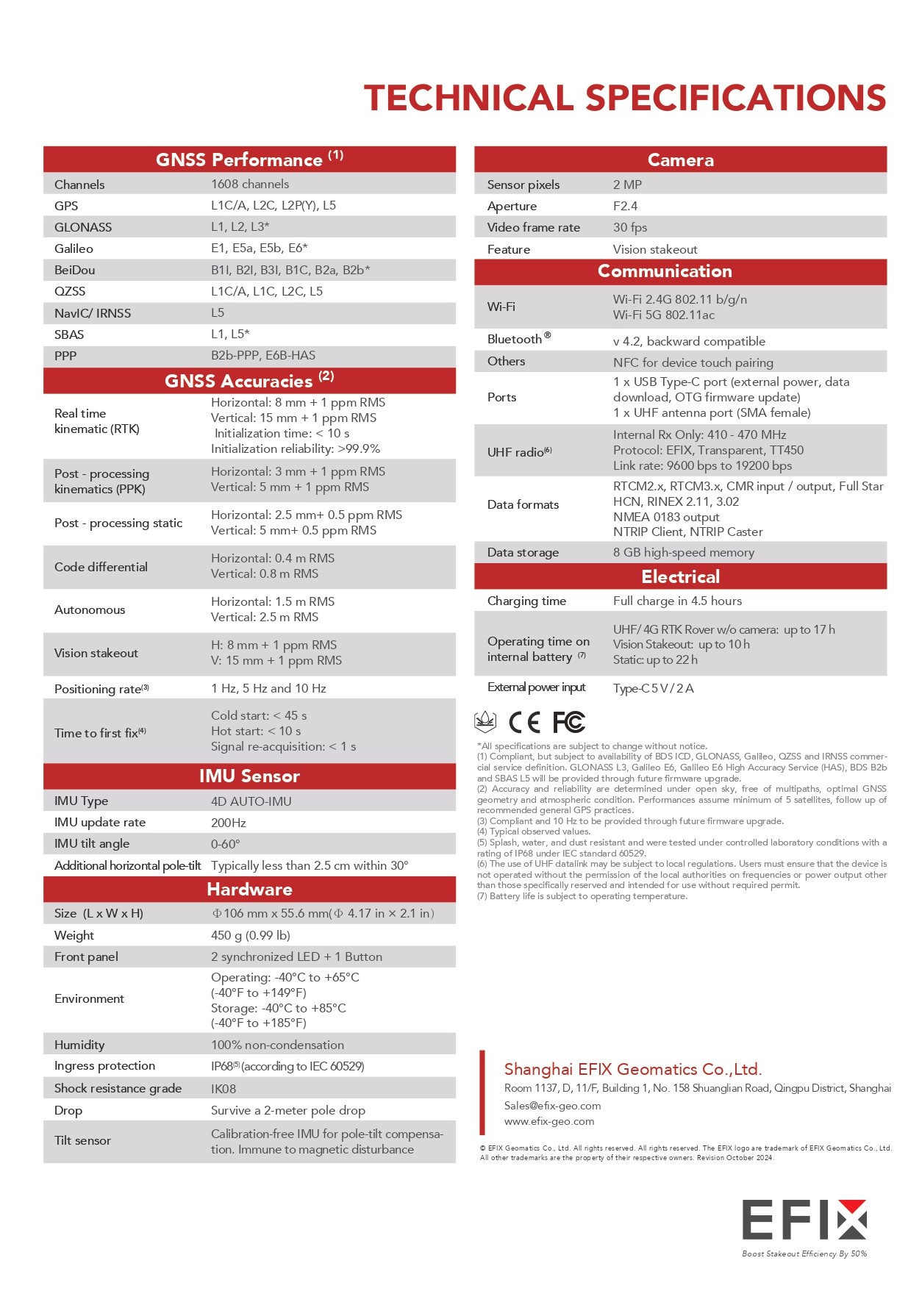
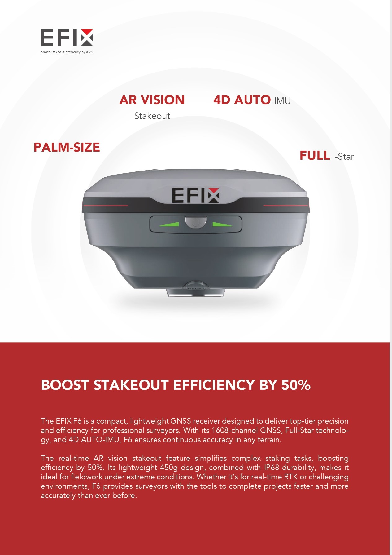
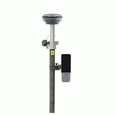
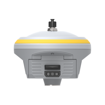
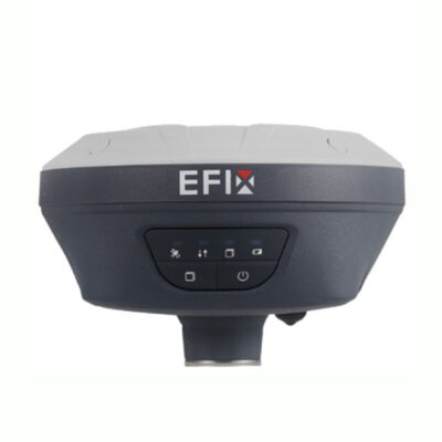
The EFIX F6 is a state-of-the-art GNSS receiver for land surveying, designed to elevate precision and efficiency for professional surveyors and construction projects. This lightweight, compact GNSS receiver is built to handle the toughest terrains, delivering centimeter-level accuracy for real-time positioning in a variety of environments. With 1608-channel GNSS, Full-Star technology, and an integrated IMU tilt sensor, the EFIX F6 is a leading choice for surveyors needing reliable, accurate measurements under challenging conditions.
Boost Your Stakeout Efficiency by 50% with Real-Time AR Vision Stakeout
The EFIX F6 comes equipped with cutting-edge AR vision stakeout technology. Its real-time AR vision stakeout feature uses a 2 MP camera to simplify and accelerate complex staking tasks. This RTK GPS receiver for construction provides intuitive visual guides, increasing stakeout efficiency by 50%.
Whether you’re working on a construction site or a land surveying project, the EFIX F6 delivers unmatched efficiency and accuracy, ensuring you get the job done right, every time. Its lightweight design—only 450g—makes it extremely portable, allowing surveyors to carry it easily even in the most demanding field conditions. Plus, with IP68 and IK08 durability, it withstands the elements and ensures reliable performance.
Full-Star Technology for Faster RTK with EFIX F6
The 1608-channel GNSS receiver utilizes Full-Star technology to optimize signal acquisition, boosting RTK signal performance by 60%. With the ability to track all constellations and frequency points, the EFIX F6 ensures high accuracy and reliability, making it a preferred land surveying equipment for both seasoned professionals and those just starting in the field.
Integrated 4D AUTO-IMU for Continuous Accuracy
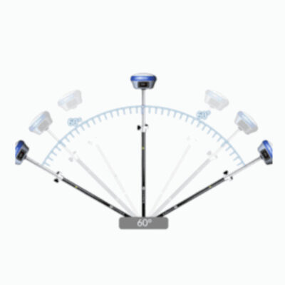
The EFIX F6 GNSS receiver also features 4D AUTO-IMU tilt compensation technology, allowing for measurements up to a 60° tilt without losing accuracy. The IMU tilt sensor is automatically initialized during motion, removing the need for manual setup and significantly reducing downtime. A 200 Hz update rate provides surveyors with the ability to measure while in motion, ensuring seamless and precise data collection.
EFIX F6 Supports a High-Capacity Battery for Extended Field Work
With a high-capacity Li-ion battery, the EFIX F6 can operate for up to 17 hours in UHF/4G RTK mode and 10 hours during AR vision stakeout, keeping you productive throughout the entire day. Charging is quick and convenient, taking only 4.5 hours to fully recharge using a Type-C cable. It also supports power banks, making it even more versatile for fieldwork.
Empowering Surveyors with eField Software
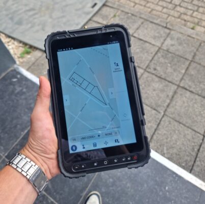
The EFIX F6 comes integrated with eField software, an essential tool for both construction and land surveying projects. Features include map surveying for different terrain types, CAD editing capabilities directly in the field, CAD stakeout to stake points from drawings, and highly accurate earthwork volume calculations. With an easy-to-use interface, eField software saves valuable time and makes surveying workflows faster and more efficient.
The EFIX F6 GNSS receiver with centimeter-level accuracy is not just equipment—it’s a game-changer for surveying professionals. Its exceptional features and user-friendly design ensure increased productivity, superior accuracy, and a seamless experience from start to finish.
Key Features of EFIX F6 GNSS Receiver
- Compact and Lightweight: Only 450g, 40% lighter and 50% smaller than other GNSS receivers, with IP68 and IK08 protection.
- Real-Time AR Vision Stakeout: Boosts efficiency by 50% with an intuitive 2 MP camera for precise visual stakeout.
- 1608-Channel GNSS with Full-Star Technology: Enhanced signal acquisition and faster RTK performance.
- Integrated 4D AUTO-IMU: Tilt compensation up to 60°, automatic initialization, and 200 Hz update rate.
- High-Capacity Battery: Up to 17 hours of operation and quick recharge.
- eField Software Integration: Includes map survey, CAD editing, CAD stakeout, and earthwork calculations.












Reviews
There are no reviews yet.