South Insight V2 Product Review
Fast and Precise AR Stakeout for Revolutionary Land Surveying
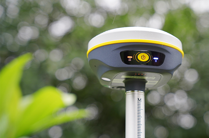
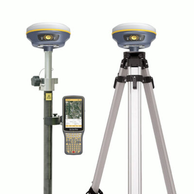
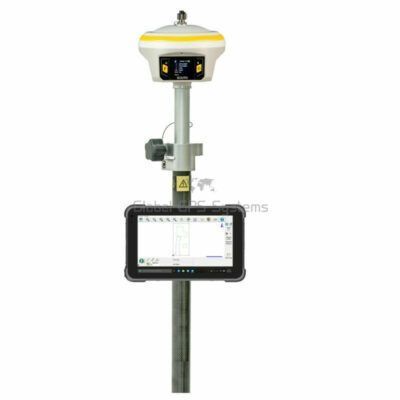
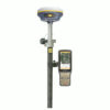
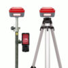
The South Insight V2 redefines the boundaries of precision and efficiency in the field of land surveying and construction. This innovative RTK GNSS receiver, seamlessly integrates GNSS technology, an advanced IMU tilt sensor, and a high-resolution camera to provide unparalleled performance. By combining cutting-edge technologies, it ensures accurate, real-time receiver altitude calculations and live visual data that precisely display stakeout targets directly on your screen. Say goodbye to leveling bubbles and welcome a new era of effortless navigation to your targets.
AR Stakeout: Precision Meets Efficiency
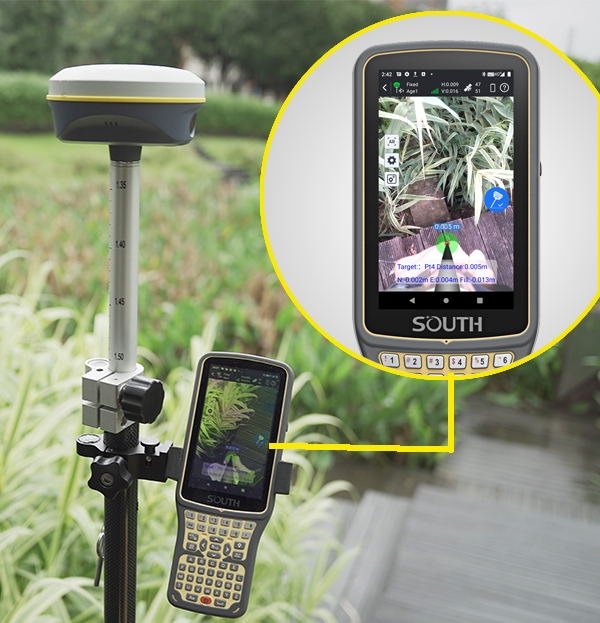
With its advanced AR technology, the South Insight V2 RTK GNSS receiver superimposes virtual guidelines and distances directly onto the real-time image display. This feature ensures you’re guided visually to your points without the need for manual direction adjustments. Save valuable time and effort on the field with this revolutionary tool.
Advanced Features for Maximum Performance
Virtual Guideline to Targets
The South Insight V2 is more than just a GNSS receiver for land surveying; it’s a comprehensive tool that enhances productivity and accuracy. The integrated AR technology overlays real-time visual instructions, making complex stakeouts intuitive and straightforward. Whether you’re working in construction or surveying, the visual live-view images eliminate guesswork and streamline your workflow.
High-Performance Inertial Measurement Unit (IMU)
This GPS receiver with IMU tilt sensor delivers exceptional reliability. The high-performance IMU automatically compensates for tilt errors, allowing you to measure or stake out points swiftly and accurately without the need for strict leveling. Its quick initiation feature gets you up and running in no time, thanks to its state-of-the-art sensor program.
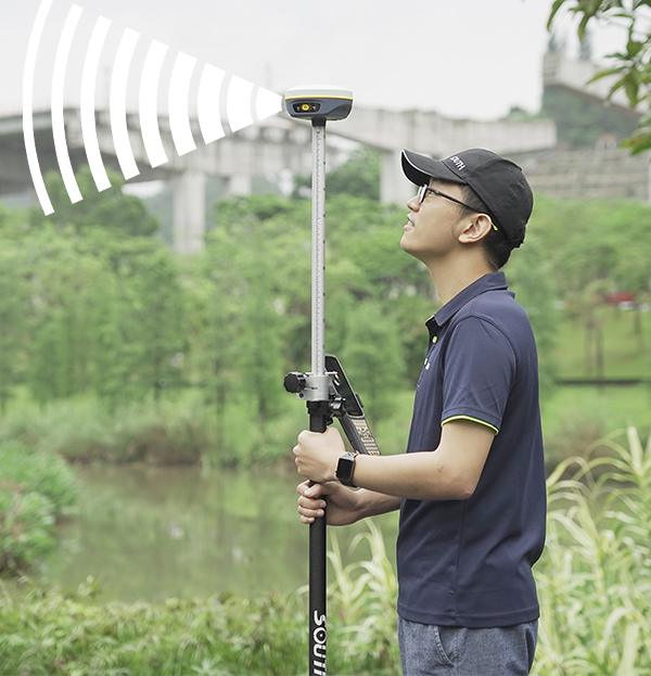
Powerful Internal UHF Radio Module
Equipped with a new self-developed digital radio module, the South Insight V2 RTK GNSS receiver utilizes “Farlink” communication technology. This ensures superior signal sensitivity and transmission efficiency, achieving ultra-long working ranges. Whether you’re conducting land surveys or working on construction projects, this feature guarantees consistent and robust connectivity.

Tailored for Land Surveying and Construction
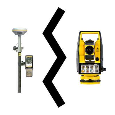
The South Insight V2 is the ultimate GNSS receiver for construction and surveying professionals. Its IMU tilt compensation and AR stakeout capabilities deliver unmatched accuracy and efficiency, making it an indispensable piece of land surveying equipment. The device’s seamless integration of imaging, GNSS, and compensation technologies ensures precision on every project, every time.


harli jürgenson (verified owner) –
super gps for stake out