


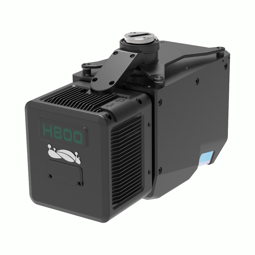
Greenvalley LiAir H800
Login to view pricing or to request a quote
Log in

Request pricing

Find RTK Networks
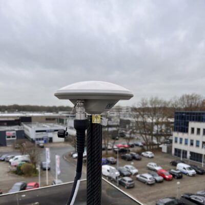
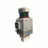
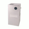
Search NTRIP ProvidersThe LiAir H800 represents a cutting-edge medium-to-long-range UAV LiDAR system created by GreenValley International. This advanced technology incorporates lightweight LiDAR, a proprietary inertial navigation system, and an embedded high-resolution mapping camera, effectively merging the benefits of lightweight design with extended operational range. Facilitated by the GreenValley App for flight control and the LiGeoreference data processing software, it delivers a streamlined, efficient solution for tasks such as power line inspection, forest monitoring, emergency disaster assessment, and more.
Datasheets and manuals
Datasheet


Greenvalley LiAir H800
Login to view pricing or to request a quote
Log in
Request pricing
Get a personalised quotation with detailed advise from our experts.

Try our GNSS guide!
Start GNSS Quide
Worldwide Shipping From The Netherlands
100% Shipping Insurance on Damage and Loss
Experts in Import / Export / Tax and Duties
Premium Support from Product Experts


Reviews
There are no reviews yet.