EFIX F8 Rover set Product Review
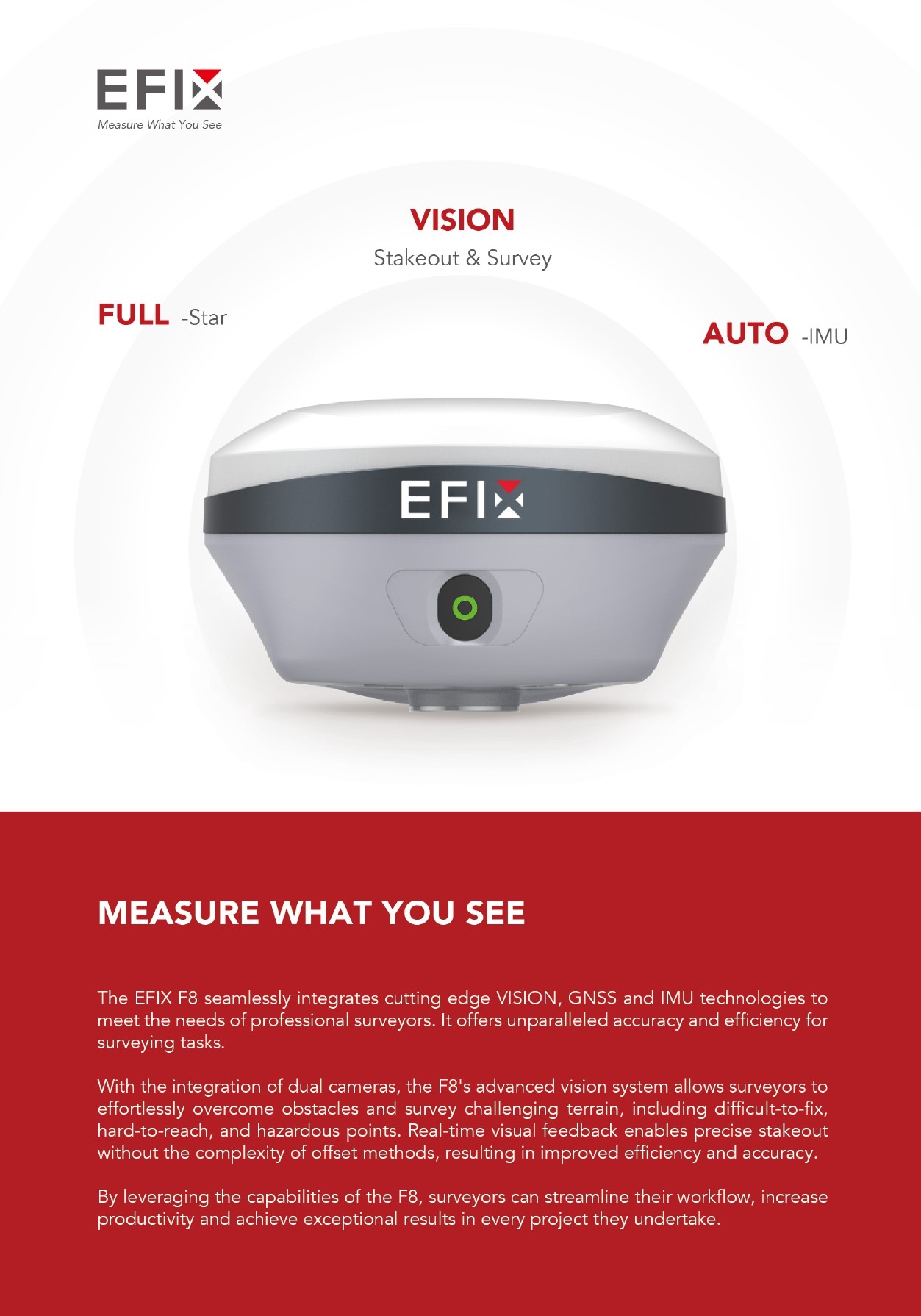
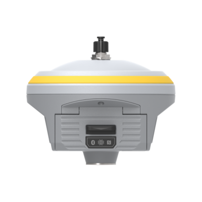
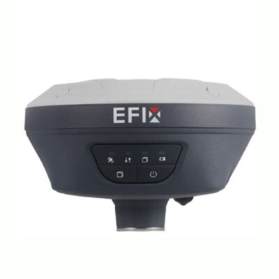
The EFIX F8 RTK Receiver
The EFIX F8 offers a seamless fusion of state-of-the-art VISION, GNSS, and IMU technologies, catering to the precise demands of professional surveyors. It delivers unmatched levels of accuracy and efficiency for surveying tasks. Thanks to its incorporation of dual cameras, the F8 boasts an advanced vision system that empowers surveyors to effortlessly conquer obstacles and navigate challenging terrains, including those with hard-to-reach, difficult-to-fix, and hazardous points. Furthermore, its real-time visual feedback capabilities facilitate precise stakeout procedures without the complexity of offset methods, ultimately leading to heightened efficiency and precision.
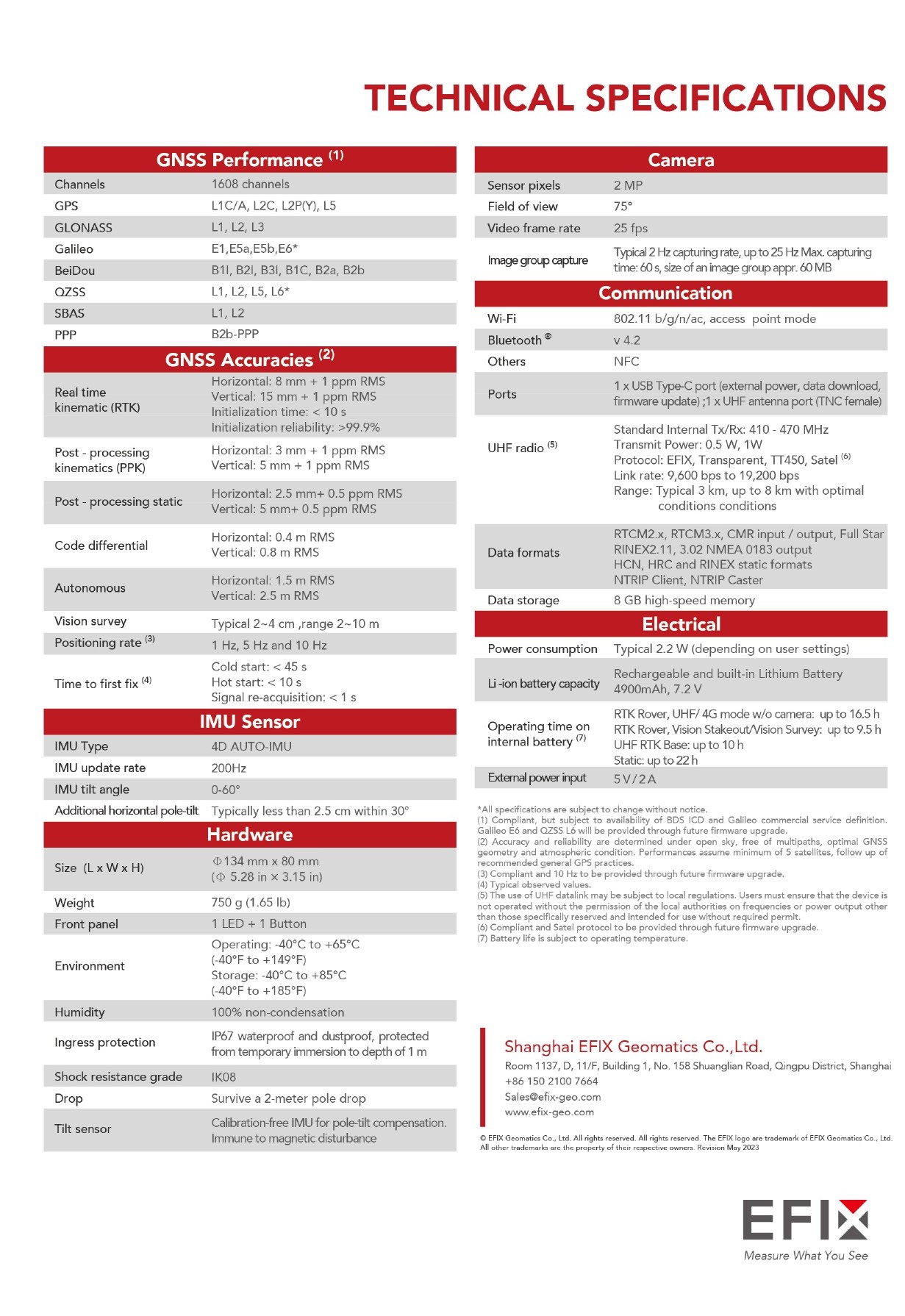
| ✅ Channels |
1608 |
| ✅ IMU Tilt Sensor |
60º |
| ❌ Internet Modem |
None |
| ✅ UHF Radio |
410 – 470MHz |
| GPS |
L1C/A, L2C, L2P(Y), L5 |
| GLONASS |
L1, L2, L3 |
| GALILEO |
E1, E5a, E5b, E6 |
| BEIDOU |
B1l, B2l, B3l, B1C, B2a, B2b |
Discover Precision and Efficiency with the EFIX F8 Rover Set
When it comes to professional land surveying and construction, the EFIX F8 rover set stands as a game-changer. Seamlessly blending cutting-edge GNSS, IMU, and vision technologies, this innovative system offers unparalleled accuracy and efficiency. Whether you’re working on complex terrains or managing large-scale construction projects, the EFIX F8 delivers the reliability and precision you need.
Overcome Common Surveying Challenges
Surveying can often present challenges, from hazardous or hard-to-reach points to difficult terrain that traditional tools struggle to navigate. The EFIX F8 GNSS rover set addresses these pain points with:
- Dual Camera Vision Technology: Survey challenging areas effortlessly, even in hazardous conditions.
- IMU Tilt Compensation: Eliminate the need for precise pole leveling, saving time and reducing errors.
- AR Vision Navigation: Streamlined stakeout with intuitive, real-time visual guidance for faster results.
Unmatched Performance for Land Surveyors
GNSS Rover Set for Land Surveying
The EFIX F8 is specifically designed to handle demanding surveying tasks with centimeter-level accuracy. Its integration of GPS with IMU tilt sensors ensures consistent performance even in uneven terrain. With an immersive GNSS set with vision survey, surveyors can navigate complex scenes and obtain precise 3D coordinates in real-time.
Revolutionize Construction Surveys
For professionals in construction, the GNSS set for construction brings transformative efficiency. Stakeout and mapping are faster and more precise, thanks to its advanced features, reducing project timelines and enhancing productivity.

What’s Included in the EFIX F8 Rover Set
The EFIX F8 rover set comes complete with everything you need to start surveying right out of the box:
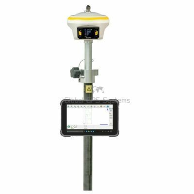
- EFIX FC2 Data Collector: The EFIX FC2 is a robust and intuitive controller for seamless operation.
- eField Surveying Software: The eField Software is an advanced software solution designed for precision and efficiency in the field.
- Telescopic Surveying Pole: Durable and adjustable for accurate measurements in any terrain.
- Data Collector Bracket: Secure and ergonomic mounting for your controller or device.
Customizable Accessories for Your Needs
The EFIX F8 rover set is flexible to match your specific requirements. Prefer using a tablet instead of the included controller? Or need different software for your workflow? These accessories can be easily modified or upgraded to suit your preferences, ensuring the perfect fit for your projects. Contact us for the possibilities!










Reviews
There are no reviews yet.