


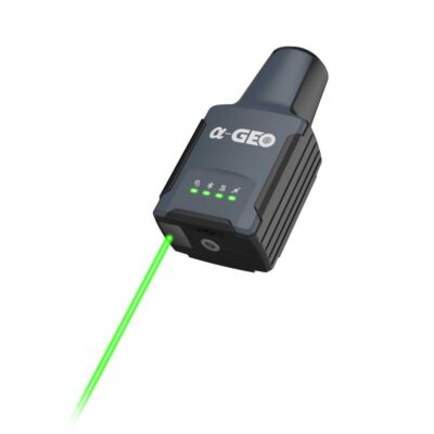
a-Geo RTK Geopuls
Login to view pricing or to request a quote
Log in

Request pricing

Find RTK Networks
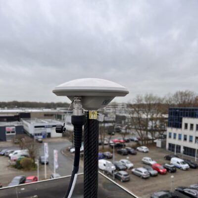
Search NTRIP Providersa-Geo RTK Geopuls – Precision Laser GNSS Surveying
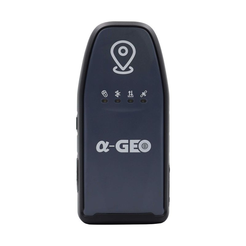
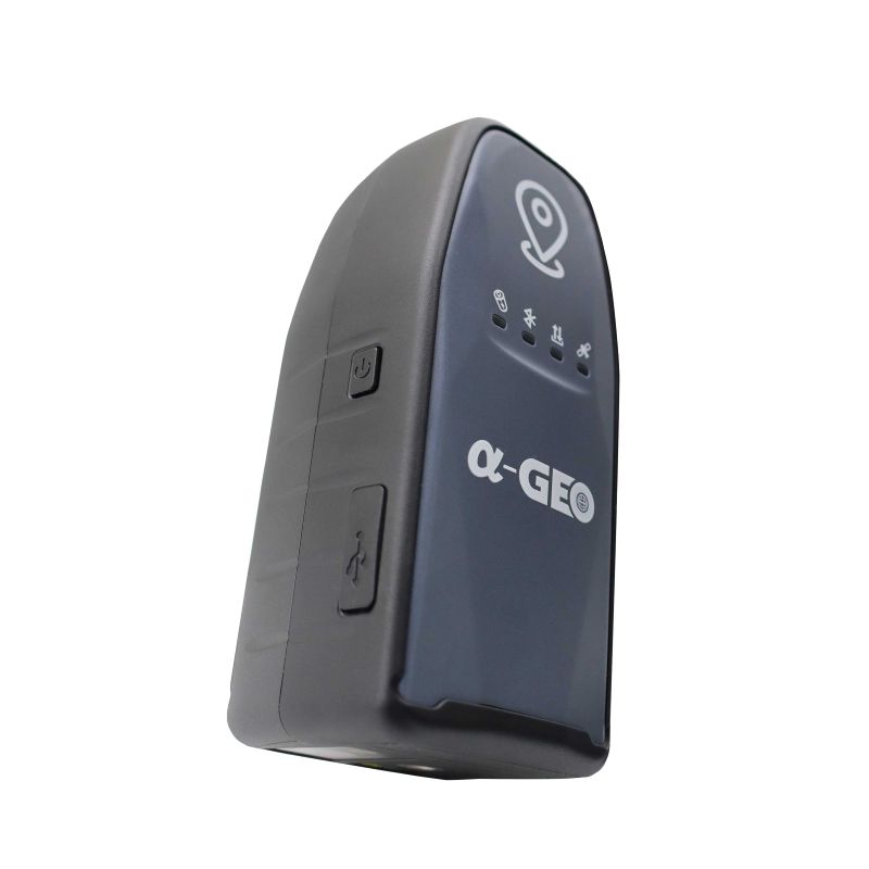
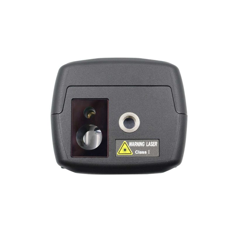
The a-Geo RTK Geopuls Series combines cutting-edge GNSS technology, a powerful green laser module, and advanced IMU tilt sensor to deliver unmatched surveying efficiency. With military-grade durability, IP67 protection, and multi-constellation GNSS support, it ensures centimeter-level accuracy even in challenging environments. Dual-mode Bluetooth and integrated 4G connectivity make it the perfect solution for modern field surveyors.
| ✅ Channels | 1408 |
| ✅ IMU Tilt Sensor | 120º |
| ✅ Internet Modem | 4G |
| ❌ UHF Radio | None |
| GPS | L1C/A, L2C, L2P, L5 |
| GLONASS | L1, L2 |
| GALILEO | E1, E5a, E5b,E6 |
| BEIDOU | B1, B1C, B2, B2a, B2b, B3 |
Datasheets and manuals
Datasheet


a-Geo RTK Geopuls
Login to view pricing or to request a quote
Log in
Request pricing
Get a personalised quotation with detailed advise from our experts.

Try our GNSS guide!
Start GNSS Quide
Worldwide Shipping From The Netherlands
100% Shipping Insurance on Damage and Loss
Experts in Import / Export / Tax and Duties
Premium Support from Product Experts


Reviews
There are no reviews yet.