


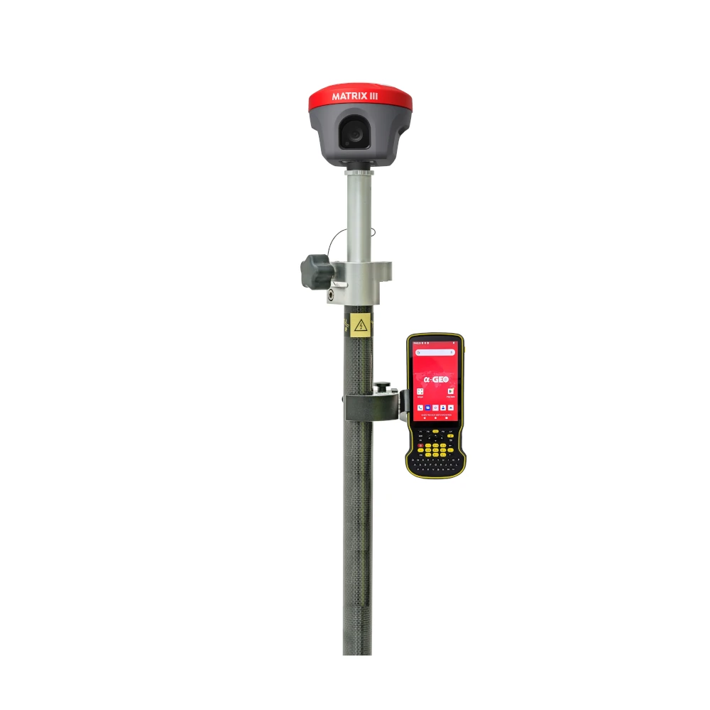
a-Geo Matrix III Rover Set
Login to view pricing or to request a quote
Log in

Request pricing

Find RTK Networks
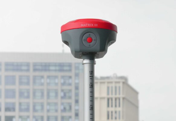
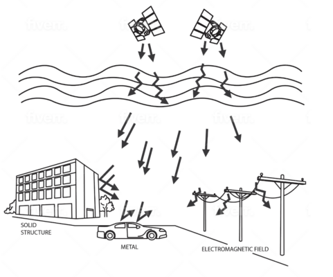
Search NTRIP ProvidersThe a-GEO Matrix III Rover Set is a next-generation GNSS receiver designed to transform modern surveying with laser measurement, AR stakeout, and advanced GNSS technology. Equipped with a 100-meter high-precision laser module, a 5MP auxiliary camera, and a 1408-channel multi-constellation GNSS engine, it delivers unmatched accuracy and reliability in even the most challenging environments. Built for speed, efficiency, and adaptability, the Matrix III sets a new standard in geospatial technology—making it the ideal solution for professionals who demand precision and performance on every project.
| ✅ Channels | 1408 |
| ✅ IMU Tilt Sensor | 120º |
| ✅ Internet Modem | 4G |
| ✅ UHF Radio | 410 – 470MHz |
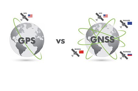
| GPS | L 1 C/A, L2C, L2P, L5 |
| GLONASS | L1, L2 |
| GALILEO | E1, E5a, E5b, E6 |
| BEIDOU | B1, B1C, B2, B2a, B2b, B3 |
Datasheets and manuals
Datasheets


a-Geo Matrix III Rover Set
Login to view pricing or to request a quote
Log in
Request pricing
Get a personalised quotation with detailed advise from our experts.

Try our GNSS guide!
Start GNSS Quide
Worldwide Shipping From The Netherlands
100% Shipping Insurance on Damage and Loss
Experts in Import / Export / Tax and Duties
Premium Support from Product Experts


Reviews
There are no reviews yet.