Satlab SatSurv Product Review

Revolutionize Your Fieldwork with Satlab SatSurv Software
Satlab SatSurv is an advanced and user-friendly Android surveying software designed to streamline field surveying tasks such as Detail Survey, Data Stakeout, Cadastral Surveying, Road Design, and Data Management. Engineered to meet the demanding needs of professionals in construction and land surveying, this land surveying field software ensures precision, efficiency, and reliability in every project.
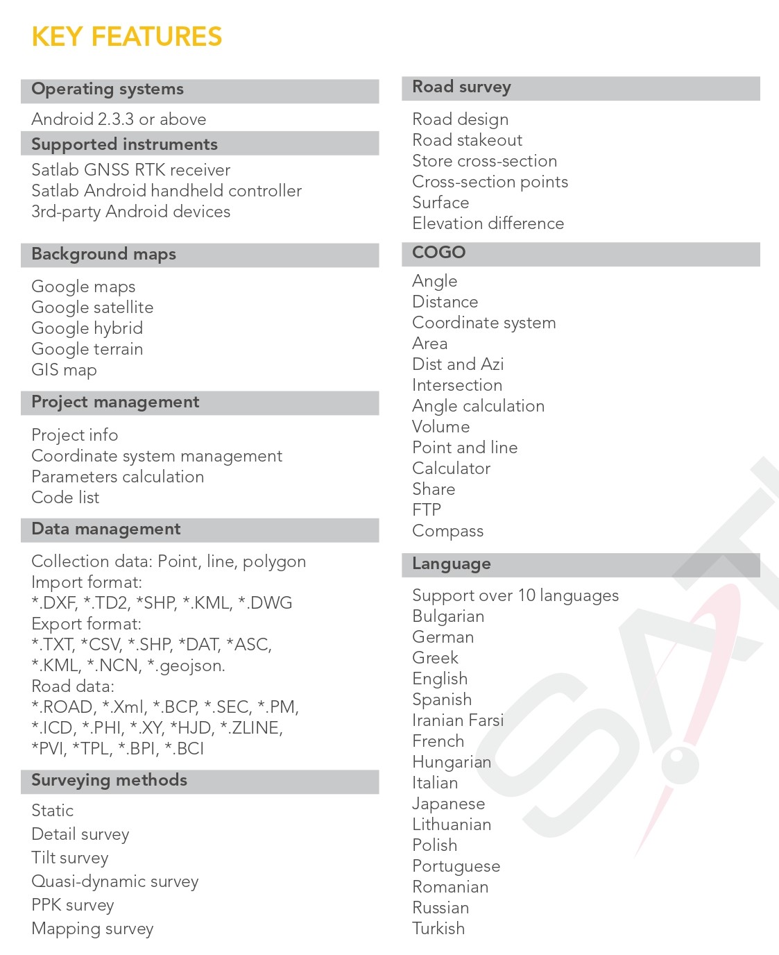
Cutting-Edge Features of Satlab SatSurv Software
Detail Survey Capabilities
Satlab SatSurv Software excels in providing diverse data collection methods, including tilt surveys, quasi-dynamic surveys, PPK collection, and static collection. The intuitive interface allows users to easily configure collection accuracy, stakeout standards, and monitor real-time metrics like satellite count, solution status, and positioning accuracy. This versatility makes it an indispensable software for data collecting in the field.
Advanced Data Stakeout Functions
The Satlab SatSurv Software boasts an innovative AR stakeout feature, enabling users to stake out data with unparalleled accuracy. With intelligent voice prompts and a built-in compass, users can intuitively navigate data stakeout directions without being glued to the screen. Additionally, support for DXF and DWG formats and object snap functions (INT, TAN, PER, NOD) ensures seamless point and line stakeouts. This feature-rich functionality makes it an ideal field software for construction professionals.
Robust Data Management Solutions
Efficient data handling is at the core of Satlab SatSurv Software. It integrates Google Maps, Google Satellite Maps, GIS Offline Maps, and OGC map services like WMS, TMS, WCS, and WFS for enhanced data collection. The software also supports third-party rangefinders, offering highly accurate distance and angle measurements, solidifying its role as the go-to software for data collecting.
Streamlined Operations with Shortcut Methods
Satlab SatSurv elevates user convenience with shortcut methods like NFC-triggered Bluetooth connections and QR code scanning for instant access to saved coordinate systems. Additionally, FTP transmission allows effortless document sharing over the same network, eliminating the need for cumbersome cables. These enhancements make Satlab SatSurv the ultimate construction field software for streamlined operations.
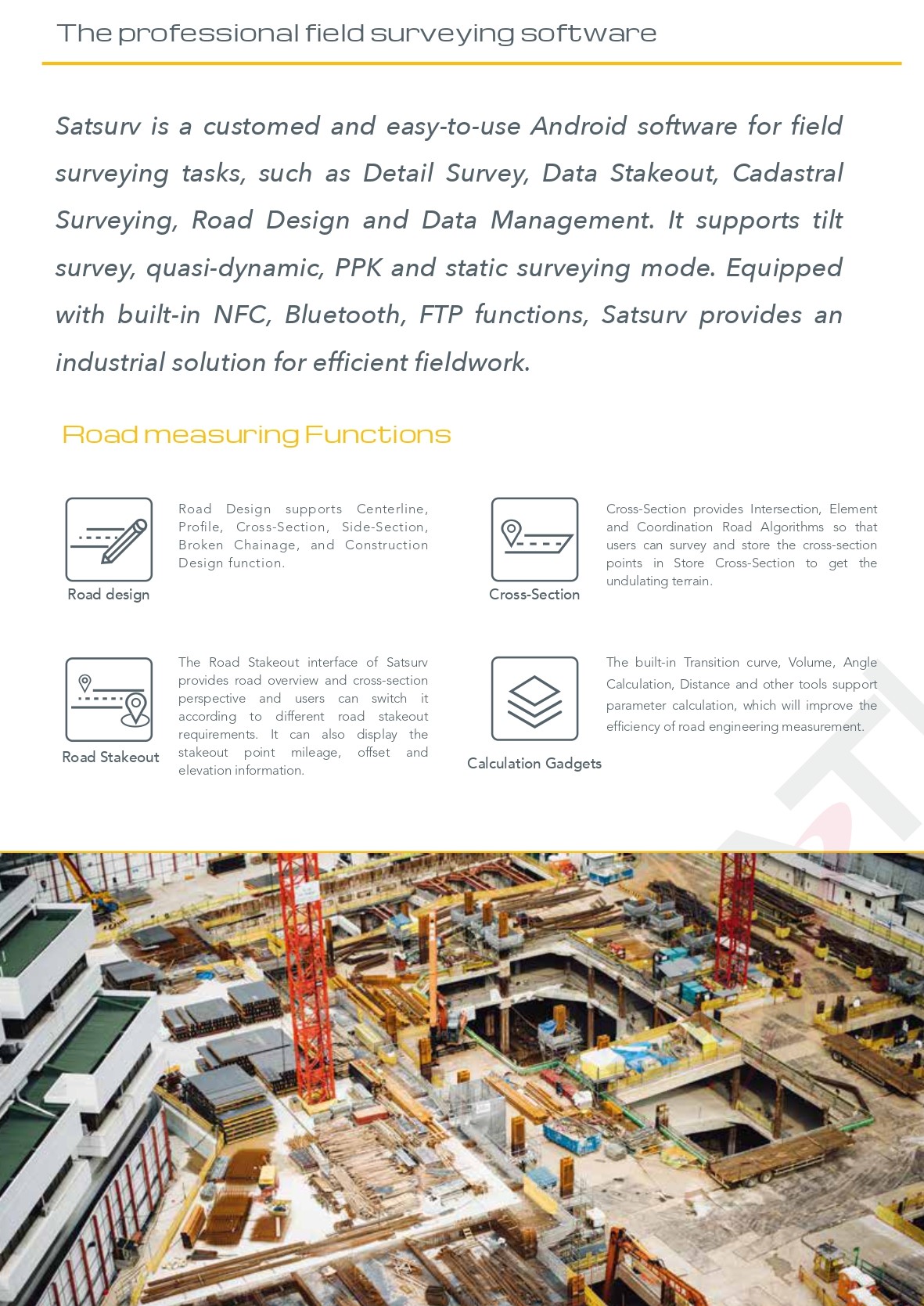
Why Choose Satlab SatSurv Software?
- User-Friendly Interface: Designed for easy navigation and efficient workflow.
- Comprehensive Surveying Modes: Supports tilt, quasi-dynamic, PPK, and static surveys.
- Versatile Data Management: Compatible with various mapping services and third-party devices.
- Efficient Stakeout: Advanced AR features and intelligent voice prompts for precision.
- Seamless Connectivity: NFC, Bluetooth, and FTP for hassle-free data transfer.











Ludovit (verified owner) –
OK