


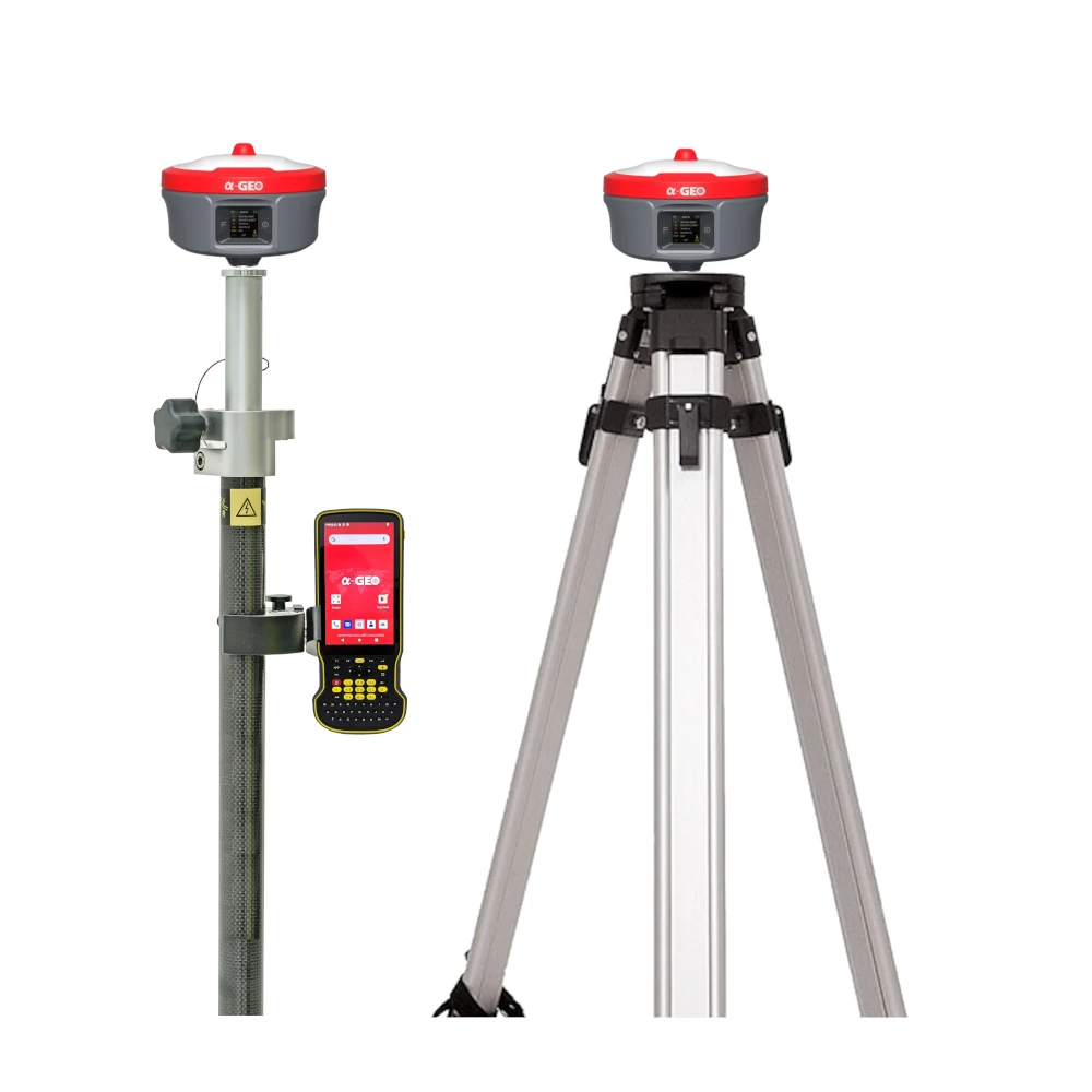


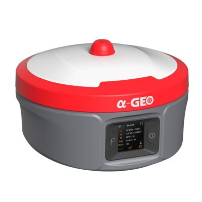
a-Geo Matrix Ultra Super Rover & Base Set
Login to view pricing or to request a quote
Log in

Request pricing

Find RTK Networks
Search NTRIP ProvidersThe a-Geo Matrix Ultra Super Rover & Base Set is a high-performance GNSS solution designed to deliver efficiency, reliability, and long-range communication for modern surveying. Equipped with an advanced 2W/5W high-efficiency radio module, it strikes the perfect balance between power consumption and signal coverage. With intelligent optimization of transmit power, signal quality, and energy use, the Ultra Super Rover & Base Set achieves maximum energy-performance efficiency (EPE) across diverse field conditions—making it the ideal choice for demanding surveying and construction projects.
| ✅ Channels | 1408 |
| ✅ IMU Tilt Sensor | 120º |
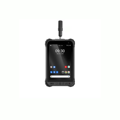
| ✅ Internet Modem | 4G |
| ✅ UHF Radio | 410 – 470MHz |
| GPS | L 1 C/A, L2C, L2P, L5 |
| GLONASS | L1, L2 |
| GALILEO | E1, E5a, E5b, E6 |
| BEIDOU | B1, B1C, B2, B2a, B2b, B3 |
Datasheets and manuals
Datasheets


a-Geo Matrix Ultra Super Rover & Base Set
Login to view pricing or to request a quote
Log in
Request pricing
Get a personalised quotation with detailed advise from our experts.

Try our GNSS guide!
Start GNSS Quide
Worldwide Shipping From The Netherlands
100% Shipping Insurance on Damage and Loss
Experts in Import / Export / Tax and Duties
Premium Support from Product Experts


Reviews
There are no reviews yet.