


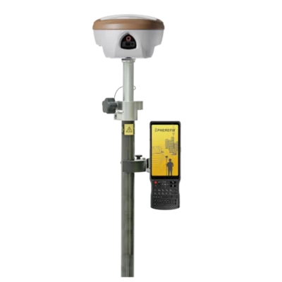
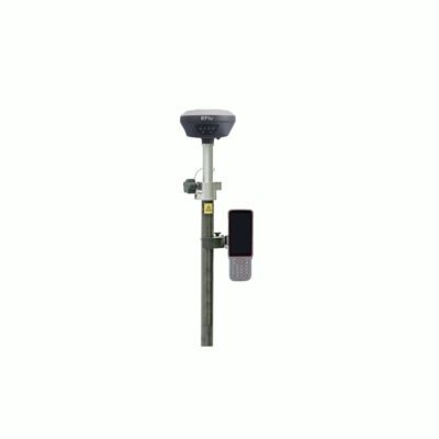
Spherefix SP35
Login to view pricing or to request a quote
Log in

Request pricing

Find RTK Networks
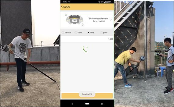
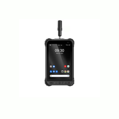
Search NTRIP ProvidersThe Spherefix SP35 is a compact, portable GNSS receiver designed for professional surveying with unmatched accuracy. Equipped with multi-band signal tracking, AR real-scene stakeout, and a camera-assisted laser module, the SP35 delivers centimeter-level precision in any environment. Its lightweight 780g magnesium alloy build makes it highly portable, while integrated 4G, Wi-Fi, Bluetooth, and LoRa ensure seamless connectivity in the field.
| ✅ Channels | 1408 |
| ✅ IMU Tilt Sensor | 60º |
| ✅ Internet Modem | 4G |
| ✅ UHF Radio | 410-470MHz |
| GPS | L1C/A, L1C, L2C, L5 |
| GLONASS | L1, L2. L3 |
| GALILEO | E1, E5a, E5b, E6 |
| BEIDOU | B1l, B1C, B2l, B2a, B3I, B2b |
Datasheets and manuals
Datasheet


Spherefix SP35
Login to view pricing or to request a quote
Log in
Request pricing
Get a personalised quotation with detailed advise from our experts.

Try our GNSS guide!
Start GNSS Quide
Worldwide Shipping From The Netherlands
100% Shipping Insurance on Damage and Loss
Experts in Import / Export / Tax and Duties
Premium Support from Product Experts


Reviews
There are no reviews yet.