South INNO8 Product Review
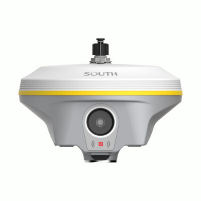
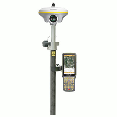
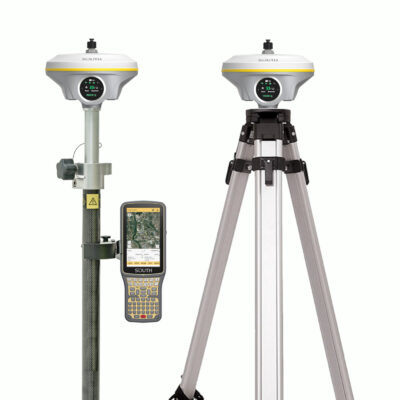
Introducing the South INNO8 RTK GNSS Receiver
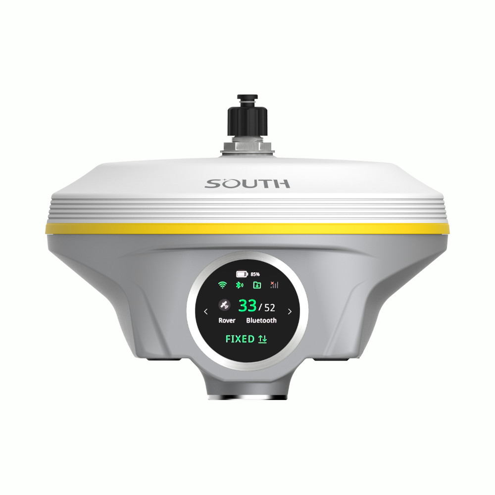
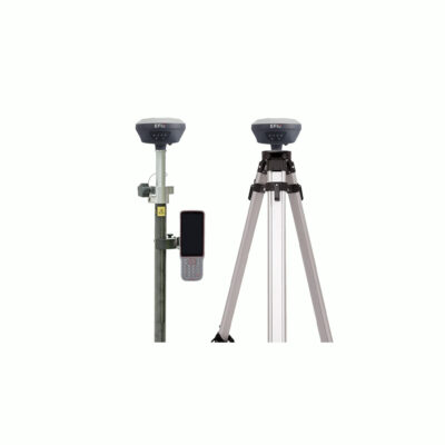
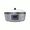
Transform your land surveying and construction projects with the South INNO8, a state-of-the-art GNSS receiver that redefines efficiency and accuracy. Leveraging decades of innovation in UAV photogrammetry solutions, the South INNO8 integrates advanced algorithms, IMU tilt compensation, and vision RTK to deliver unparalleled performance.
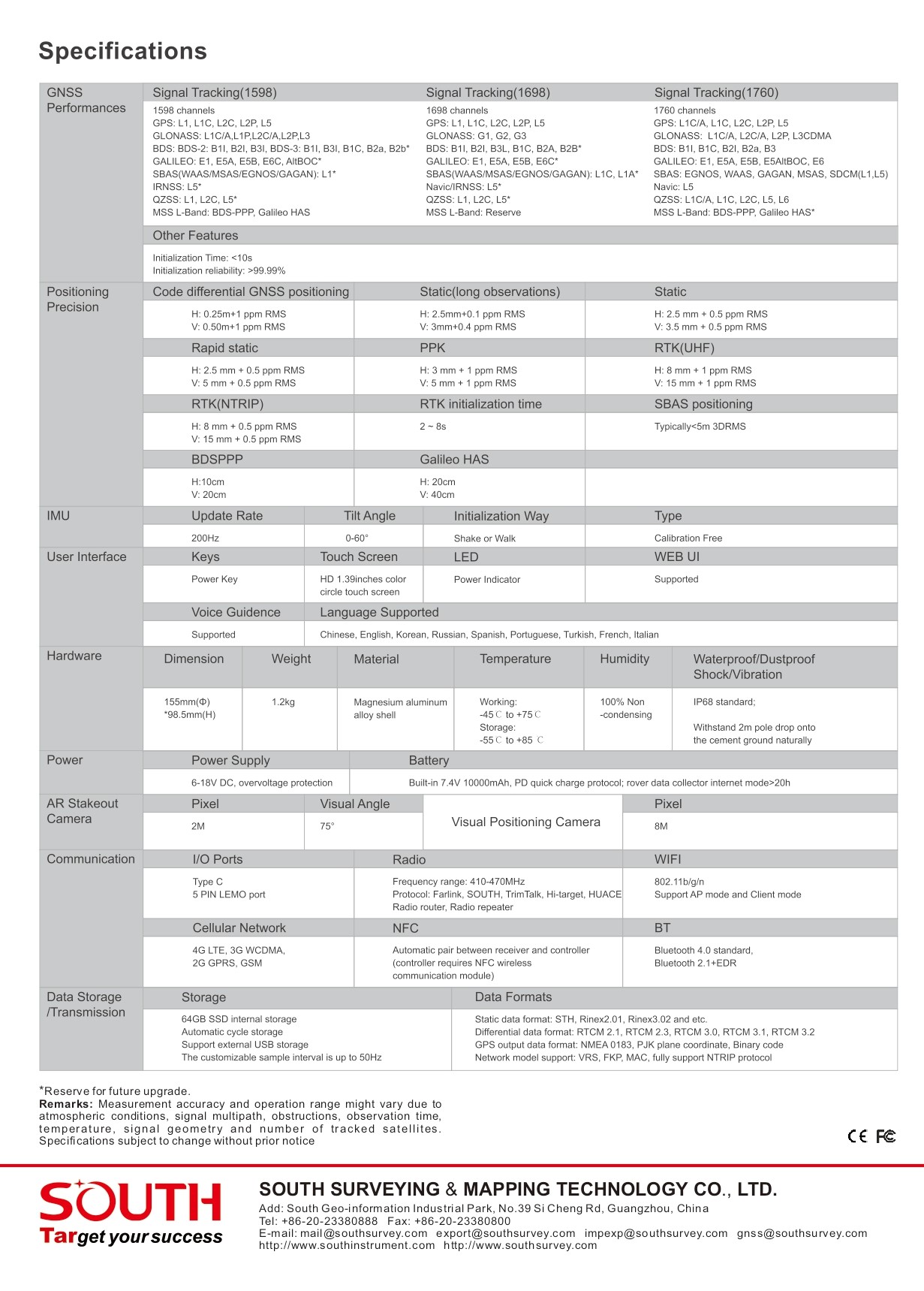
Key Features and Benefits of the South INNO8
1. Enhanced Speed and Accuracy
Traditional methods of photogrammetry and surveying are time-consuming and labor-intensive. The South INNO8’s innovative photogrammetry technology enables users to capture both image and coordinate data simultaneously. With the ability to measure hundreds of points in just a few minutes, this GNSS receiver for land surveying drastically reduces fieldwork time.
2. Real-Time Data Processing
Forget about waiting for PC post-processing. The South INNO8’s onboard app processes collected photos and videos in real-time. This feature ensures you get precise coordinates instantly, making it perfect for time-sensitive GNSS receiver for construction projects.
3. Expanded Working Range
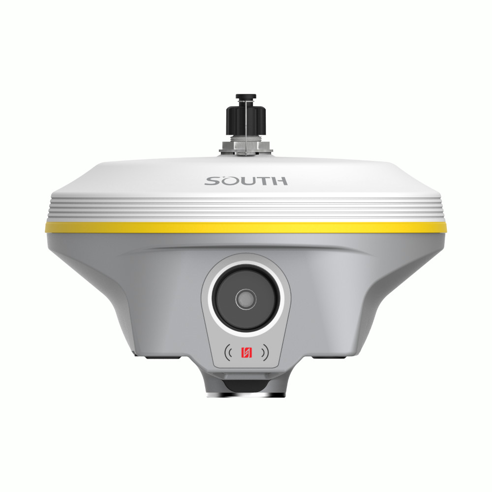
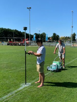
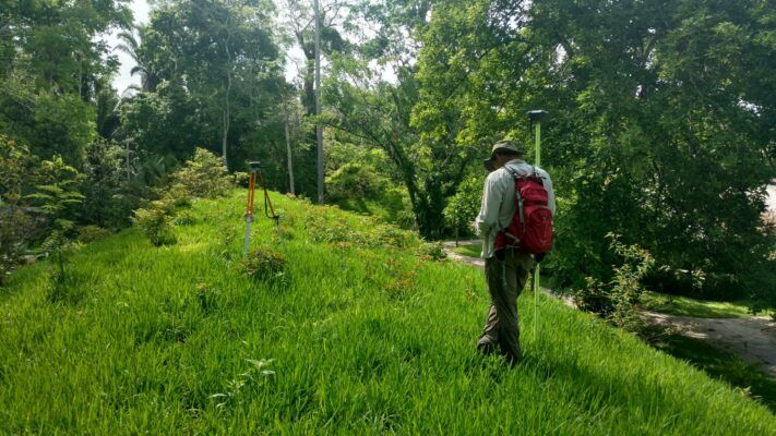
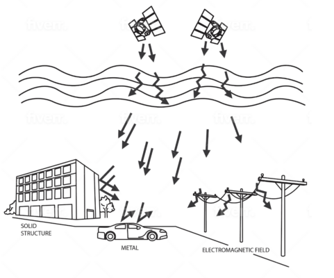
Unlike traditional RTK systems, the South INNO8 works seamlessly in areas with poor GNSS signal quality. Its photogrammetry function allows surveyors to measure remote points from a well-signaled position. Whether under rooftops, dense tree canopies, or construction sites with multiple obstacles, this GPS set for construction ensures no point goes unmeasured.
4. Labor-Saving Operation
With its remote measurement capabilities, the South INNO8 reduces the need for surveyors to physically approach every measurement point. By operating at distances up to 10 meters or more, it saves significant time and effort. Even when re-measurements are needed, simply revisit saved photos to recalculate coordinates—eliminating the hassle of returning to the field.
5. User-Friendly Interface
The South INNO8’s controller app simplifies data collection. By clicking the same point in three photos, users can calculate coordinates with ease. This intuitive operation makes the device accessible even for beginners.
Common Issues Solved by the South INNO8 GPS Receiver
- Challenging Environments: Measure points in blind spots or areas with poor satellite signals.
- Time Wastage: Eliminate the need for tedious field revisits with real-time processing and photo-based re-measurements.
- Physical Strain: Save surveyor effort with long-distance remote measurement capabilities.
Why Choose the South INNO8 RTK GNSS Receiver?
- Vision RTK Excellence: Achieve precise results using cutting-edge photogrammetry and vision technology.
- All-in-One Solution: Combines GPS receiver with IMU tilt sensor for unparalleled flexibility.
- Reliable Performance: Ideal for both land surveying and construction applications.









Reviews
There are no reviews yet.