GNSS
Overcoming Signal Interference in GPS Land Surveying
GPS (Global Positioning System) is a widely used technology in land surveying that provides highly accurate position data. However, one of the major challenges of GPS surveying is signal interference. In this article, we will discuss what signal interference is, how it affects GPS land surveying, and some of the ways to mitigate it.
What is signal interference in GPS land surveying?
Signal interference refers to any external factor that disrupts the GPS signal, causing inaccuracies or completely blocking the signal. GPS signals are radio waves that are transmitted from satellites in space and received by GPS receivers on the ground. Any factor that obstructs or changes the signal path can interfere with the accuracy of the GPS data.
What causes signal interference in GPS land surveying?
Several factors can cause signal interference in GPS land surveying, including:
-
Atmospheric conditions: Atmospheric conditions like rain, fog, or snow can obstruct GPS signals.
-
Obstructions: Physical obstructions like buildings, trees, or hills can block GPS signals.
-
Multipath interference: Multipath interference occurs when the GPS signal reflects off surfaces such as buildings, water, or other large objects before reaching the GPS receiver. The reflected signal can cause inaccuracies in the GPS data.
-
Electronic interference: Electronic devices like radios, cell phones, and power lines can cause electromagnetic interference that can interfere with the GPS signal.
-
GPS jamming: GPS jamming refers to the deliberate interference with GPS signals using a jamming device. GPS jamming is illegal and can cause serious problems for GPS surveying operations.
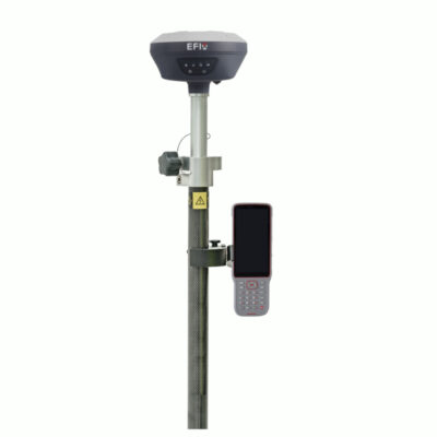
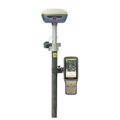
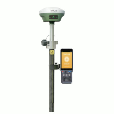
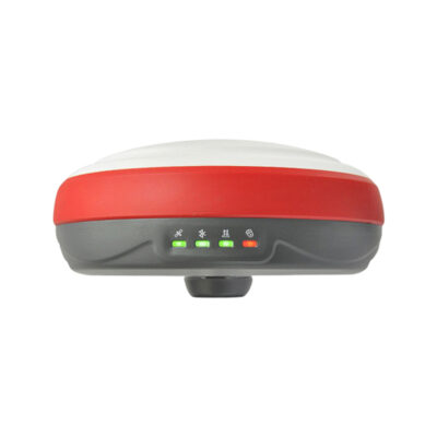
some popular gps receivers


GPS & GNSS
GPS & GNSS
How does signal interference affect GPS land surveying?
Signal interference can cause inaccuracies in GPS data, resulting in errors in land surveying measurements. These errors can be small, but over long distances, they can accumulate and lead to significant discrepancies in the survey results. For example, a small error of just 1 meter can result in a 10-meter discrepancy over a 1-kilometer distance.
How can signal interference be mitigated in GPS land surveying?
There are several ways to mitigate signal interference in GPS land surveying, including:
-
Selecting the right location: Choosing a location with minimal obstructions and good visibility of the sky can reduce signal interference.
-
Using high-quality equipment: High-quality GPS receivers are more resistant to signal interference than lower-quality devices.
-
Using differential correction: Differential correction is a technique that involves comparing the GPS data from a base station with the GPS data from a rover. This technique can correct errors caused by signal interference.
-
Employing anti-jamming techniques: Anti-jamming techniques like frequency hopping can make GPS receivers less susceptible to GPS jamming.
-
Using GPS augmentation systems: GPS augmentation systems like WAAS (Wide Area Augmentation System) and RTK (Real-Time Kinematic) can improve the accuracy of GPS data by providing additional correction data.
Conclusion
Signal interference is a major challenge in GPS land surveying that can cause significant errors in the survey results. However, with the right techniques and equipment, signal interference can be mitigated to provide highly accurate GPS data. By selecting the right location, using high-quality equipment, employing differential correction, employing anti-jamming techniques, and using GPS augmentation systems, GPS land surveyors can ensure accurate and reliable survey results.