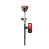
a-Geo Matrix VI Rover Set Product Review
Rugged RTK Data Collector for the a-Geo Matrix VI Rover Set
The S60III RTK data collector is the perfect companion to the a-Geo Matrix VI Rover Set, delivering speed, durability, and efficiency for field measurements and mapping operations. Powered by the latest Qualcomm industrial-grade processor, it ensures smooth performance even during demanding surveying tasks. Its slim and ergonomic design, combined with a standard English keyboard, makes it easy to handle in all working conditions.
Reliable Connectivity Options
Stay connected in the field with advanced communication features:
- Bluetooth 5.0 for fast device pairing
- Dual-band Wi-Fi (2.4G / 5G) for flexible connections
- 4G modem with global coverage for seamless RTK corrections
These options ensure stable communication with a-Geo Matrix VI receiver and consistent access to RTK network correction services.

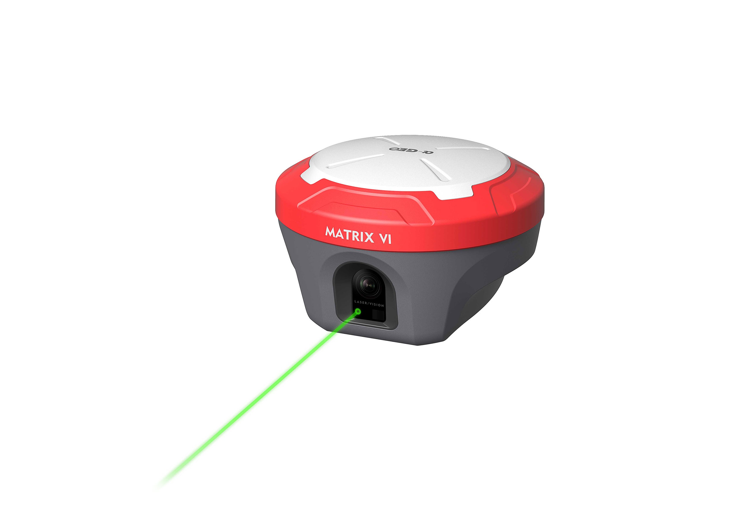
Comes with Powerful GNSS Capabilities
The a-Geo Matrix VI Rover Set is built with a next-generation 1408-channel GNSS engine and a robust signal-tracking algorithm, giving surveyors access to an exceptional range of signals across all active satellite constellations. This advanced design ensures faster fix rates, quicker positioning, and a more dependable workflow-eliminating the frustrating delays often experienced with older GNSS solutions.
Performance That Elevates Field Productivity
By combining powerful hardware with advanced interference control, the a-Geo Matrix VI Rover Set empowers professionals to perform confidently where standard GNSS receivers fall short. Accuracy, efficiency, and productivity are not just guaranteed-they are elevated to meet the demands of modern geospatial work.

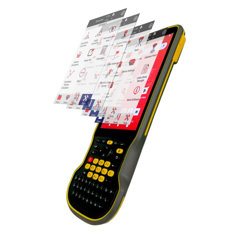
Experience Precision and Efficiency with a-GEO SurPro
The a-GEO SurPro software, included with the a-Geo Matrix VI Rover Set, is designed to make surveying faster, smarter, and more reliable. With its high-performance field calculation capabilities and intuitive workflow, SurPro allows professionals to collect data with confidence and verify results instantly. By enabling users to construct drawings while taking measurements, the software ensures real-time visual confirmation-eliminating costly errors and boosting productivity in the field.
Key Features of a-GEO SurPro Software
Built for professionals, the intuitive design of a-GEO SurPro makes it easy to navigate and operate, significantly reducing the learning curve. This streamlined interface allows surveyors to seamlessly collect data, perform real-time calculations, and stay focused on the task at hand without interruptions.


Reviews
There are no reviews yet.