Carlson NR3 Rover set Product Review
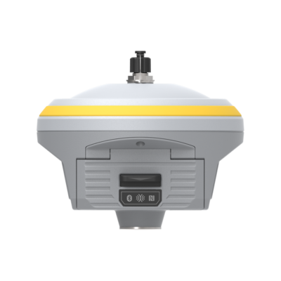
The Carlson NR3 RTK GNSS Receiver
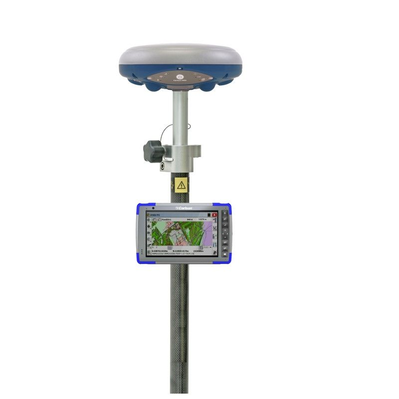
The Carlson NR3 is a compact GNSS Smart Antenna designed for Network Rover applications. The NR3 and a prism make a light weight survey pole assembly to utilise SurvCE/PC 6.0 with Hybrid+ for simultaneous GNSS and Robotic Total Station surveys.
The new Hybrid+ feature allows simultaneous interaction with GNSS and a Robotic Total Station, with the GNSS and prism both mounted on the survey pole.
 Channels Channels |
448 |
 IMU Tilt Sensor IMU Tilt Sensor |
None |
 Internet Modem Internet Modem |
4G |
 UHF Radio UHF Radio |
None |
| GPS |
L1, L2, L5 |
| GLONASS |
L1, L2, L3 |
| GALILEO |
E1, E5a, E5b, AltBoc |
| BEIDOU |
B1, B2 |
Carlson RT4
The Carlson RT4 is designed for surveying, mapping, construction layout, and GIS mapping and is bundled with Carlson SurvPC – the Windows-based data collection program. SurvPC includes the option to run the Esri OEM program for GIS fieldwork. The RT4 can also be used in the office with any Carlson office software. With 8 GB RAM and 128 GB storage, you have the power to collect and analyze your data faster and more efficiently than ever before.
Carlson SurvCE/PC
Designed to complement surveying work, Carlson Survey provides a variety of surveying features to process data, from area modelling to Least Squares Network Adjustment. Working seamlessly between the office and field using company-wide design styles for ease of use and efficiency, Carlson SurvCE allows you to survey and plot directly in RDNAP.
GPS Survey pole
Make it easy to carry by mounting everything on a GPS Survey Pole. Recommended length is over 2 metres to minimise interference to your GNSS receiver and improve performance.
Data collector bracket
This is needed to ensure that your data collector stays firmly in place. It prevents it from being damaged unnecessarily and you don’t have to hold it in your hand all day.













Reviews
There are no reviews yet.