
LiDAR
LiDAR Survey for Urban Village Reconstruction
LiDAR Survey for Urban Village Reconstruction
Background Information
Project Locatiion: Guangzhou, China
Purpuse: Provide reference for the reconstruction and planning for Urban village
Area:0.75 sq.km (9 blocks)
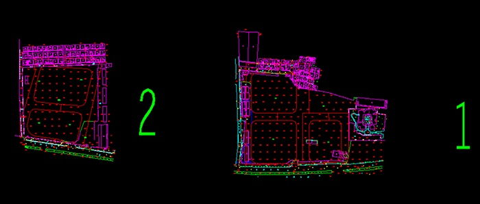
Output demand: 1) DOM 2) Vectorized map (1:500)
Expected accuracy: H.20cm V.10cm
Project time: 1 month
Overview of Survey area:
The houses are dense, the distance between the buildings is narrow, the visibility is poor, and the traditional measurement methods are difficult to work and need to take a long time.
Solution:
According to the situation of the survey area, we decide to use UAV with LiDAR for data collection.:
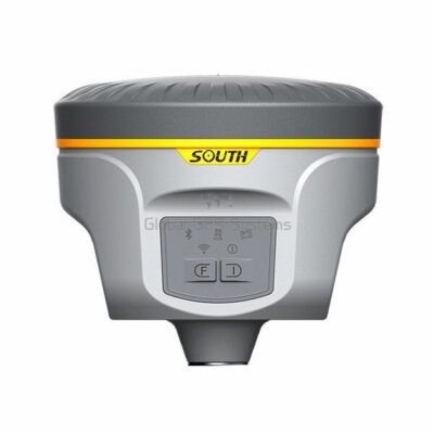
Base receiver: Galaxy G1 Plus
UAV platform: DJI M600 Pro
LiDAR system: Mini LiDAR system SZT-R250
Camera: Sony a6000
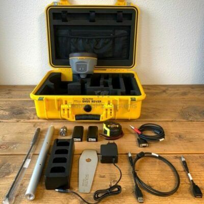
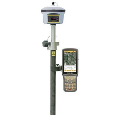
GPS receivers
Click here to login or register

Lidar & 3D scanning
Click here to login or register
1. Route planning and field collection
Field collection
NO of flights: 12 flights
Fieldwork: 5 days
2. Ground control point and checkpoint
Instrument: RTK-Galaxy G6
Time: 2 days
Purpose: used to check elevation accuracy
GPS receivers
Click here to login or register
3. Data process
Software
Trajectory processing–Inertial Explorer
Geo-referenced point clound generation–Z-Lab Point Process
Point cloud processing–Terrasolid Tscan
Vector mapping–Z-Lab Mapper
Orthophoto production — SkyPhoto-professional
Total time for data processing and mapping: 20 days
4. Surveying and Mapping in the field
Time: 3 days
Purpose: Used to confirm the number of house floors, the material of the house, the number of floors for balcony, the material of the wall, whether there are missing or wrong drawings in the blocked area, confirm the type of pole, the direction of power line transmission, the direction of river flow, and the type of manhole cover.